
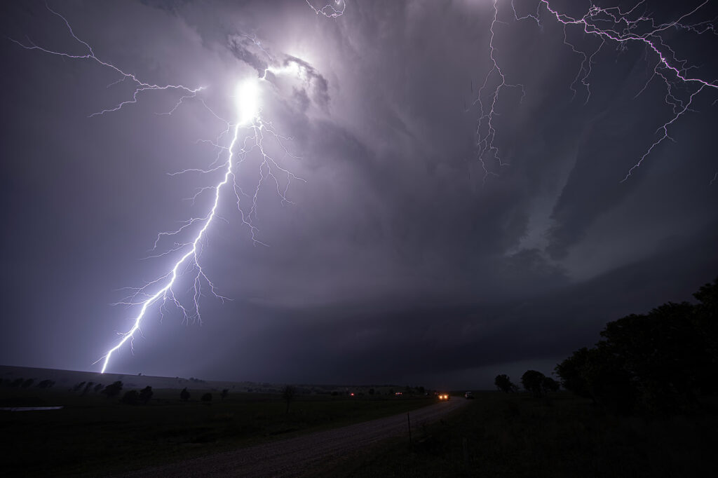
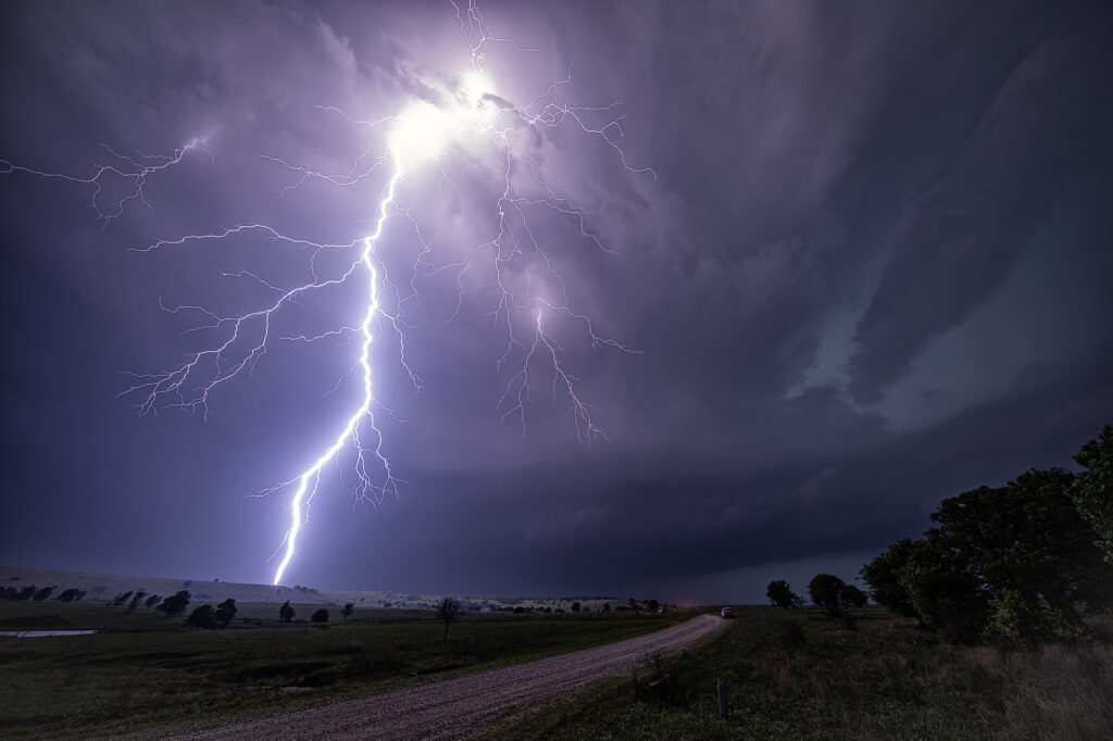
April 26, 2026 took us to Osage county, Oklahoma to chase a tornadic supercell from Foraker to Herd. Strong shear, a dryline and extreme instability would set the stage for supercells. One such storm formed near Blackwell and intensified as it moved east. It became tornado warned as it moved east towards Foraker. Due to poor, muddy roads, we had to drop south to highway 60 and east to Pawhuska, then north to get in front of it. During this 20 minute process, of course, fate would have it that it produced a tornado! However, it was on the ground for less than a minute. As the supercell approached us a broad, rotating wall cloud was evident, and multiple funnels formed over the next 30 minutes. This storm had great structure and intense cloud to ground (cg) lightning! As it approached our location, a large bowl formed under it and soon a cone funnel descended to the ground. It persisted for a few minutes. We stayed with the storm in the dark as it moved east and eventually dissipated near Bartlesville. Fun day, frustrating at times as is often the case in Osage county, but good end results! Enjoy the pics!
No comments yet.