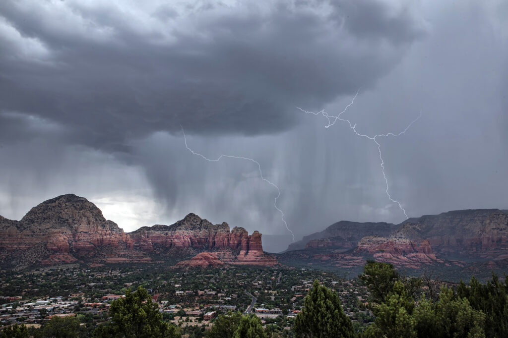
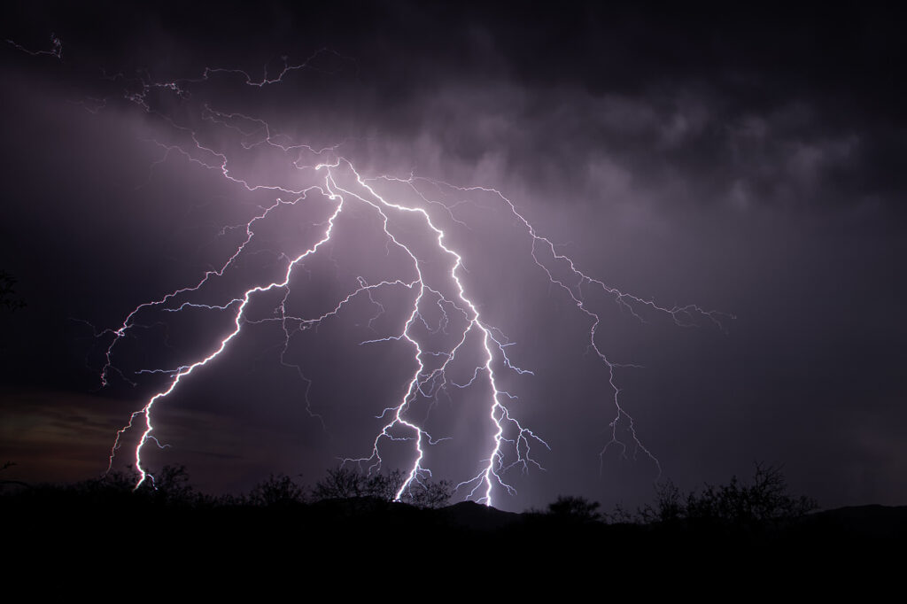
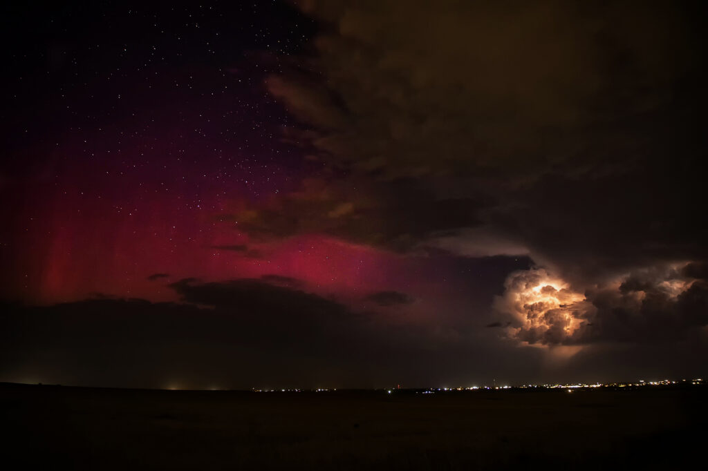
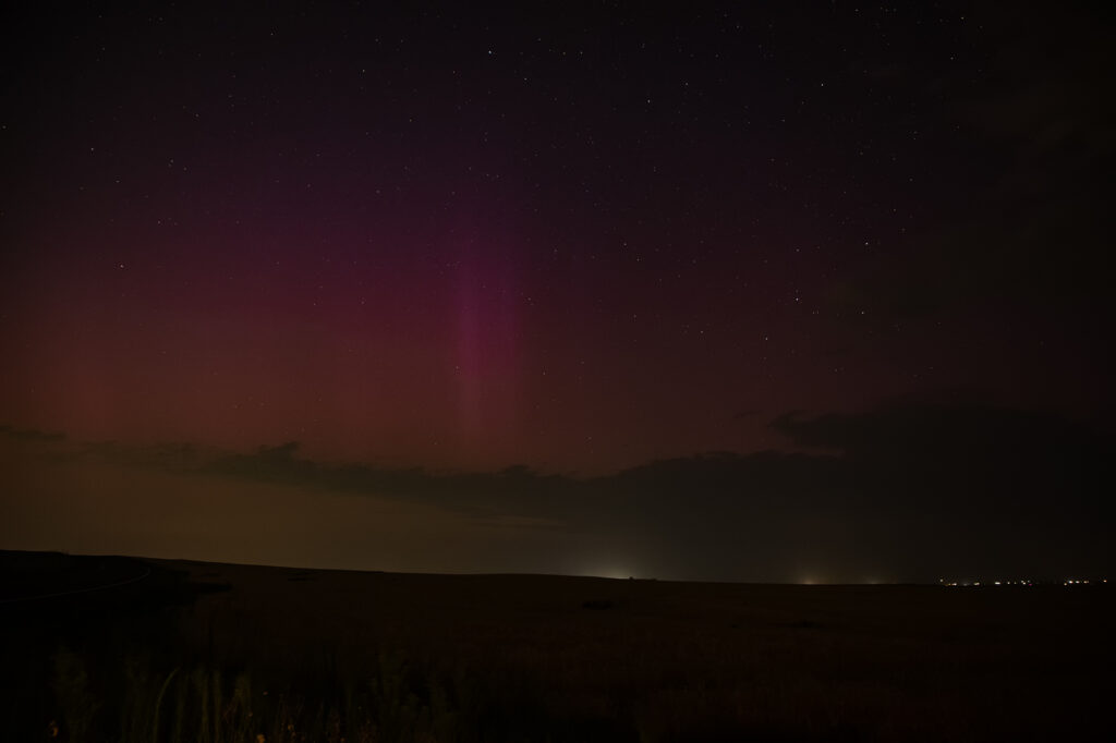
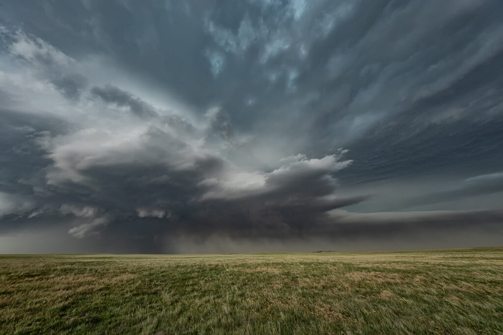
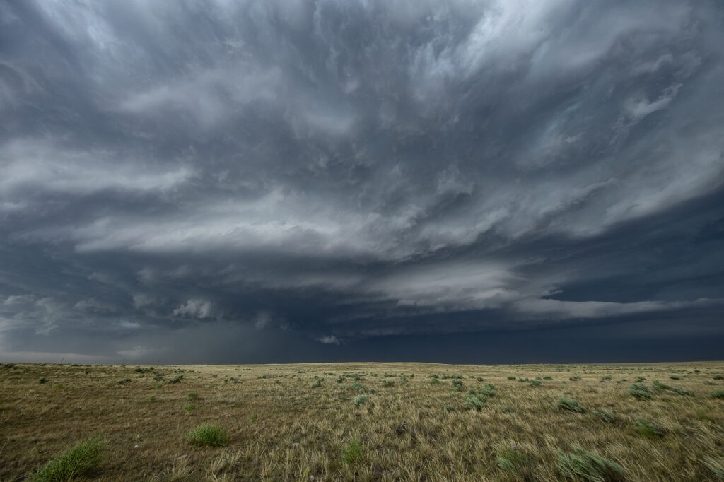
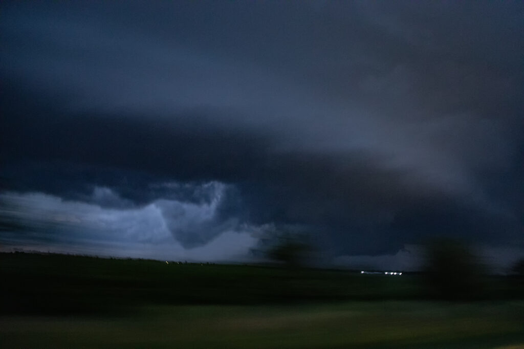
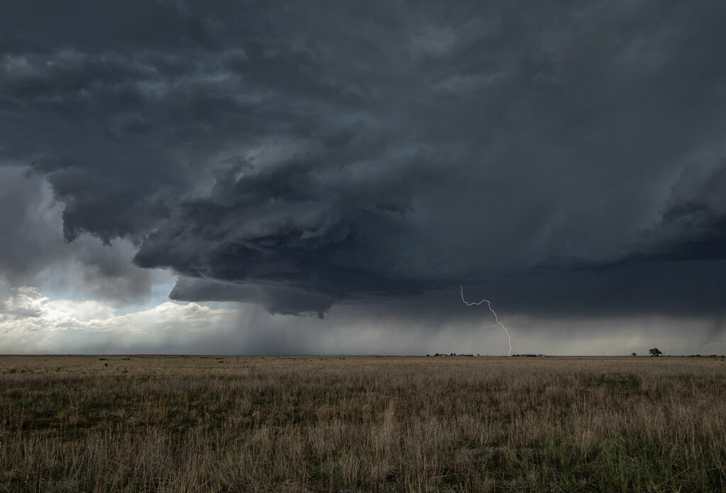
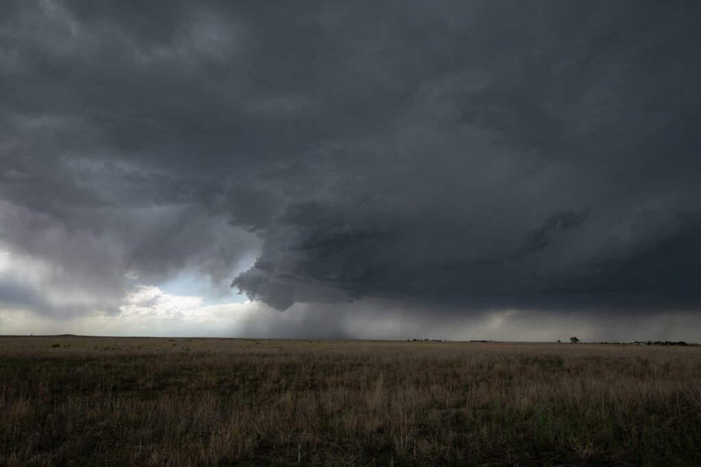
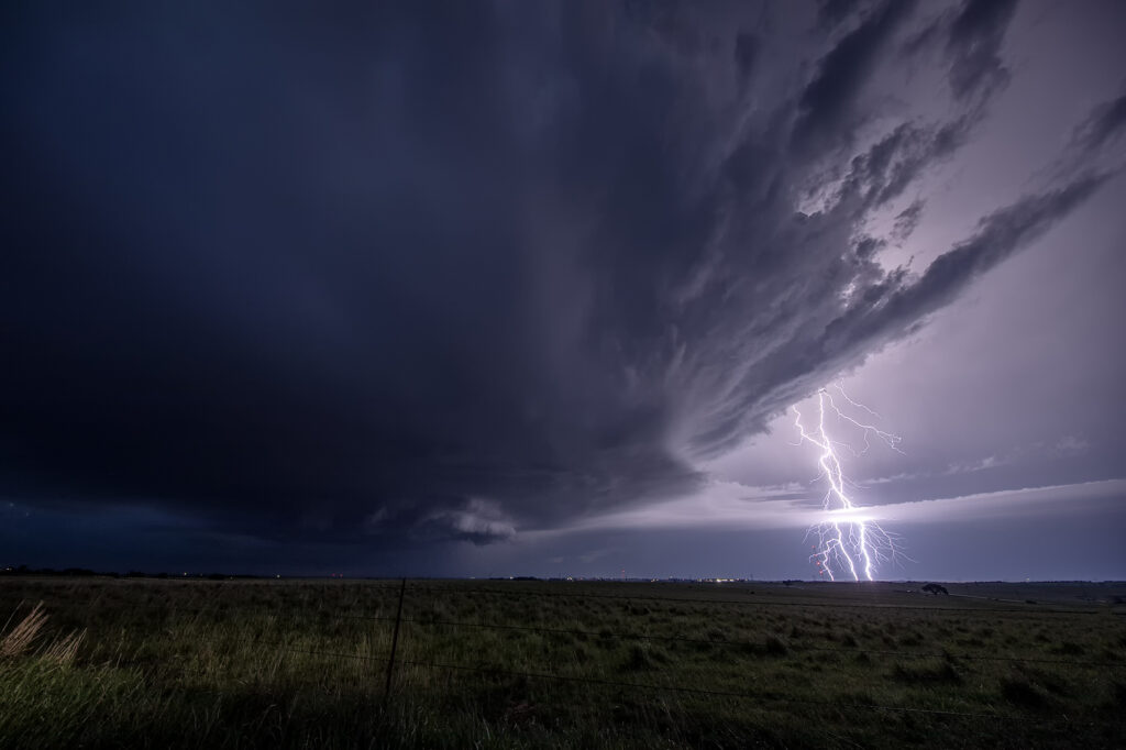
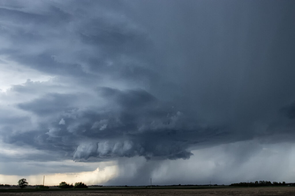
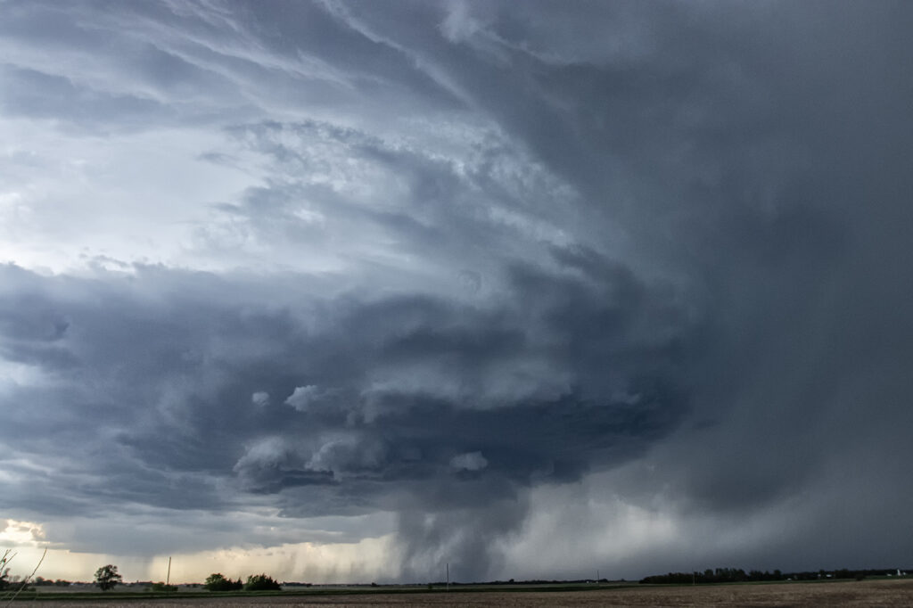
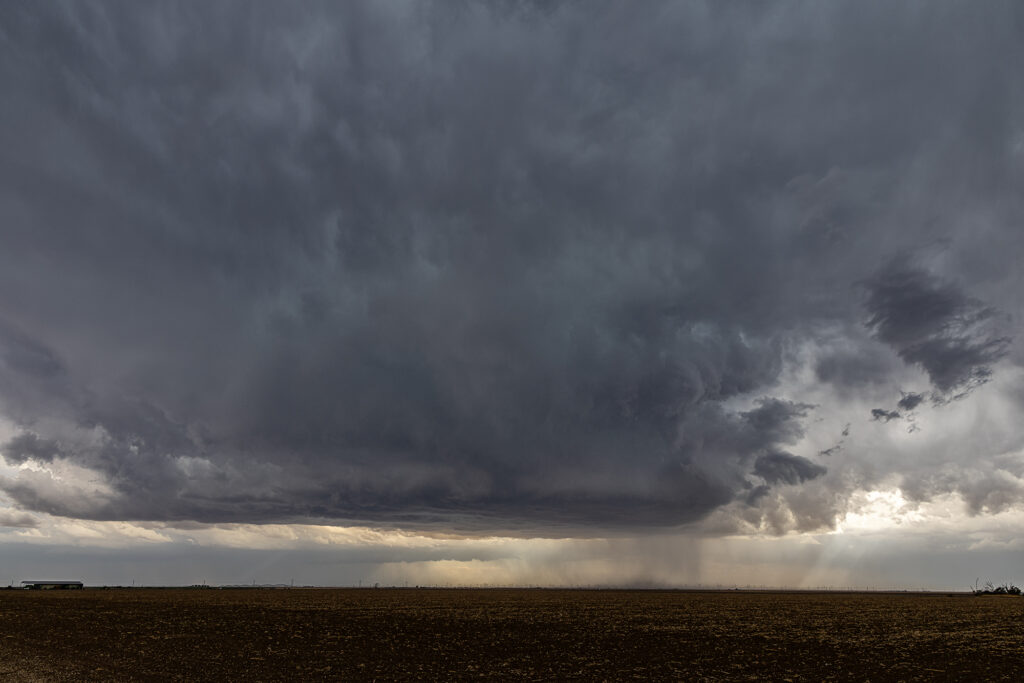
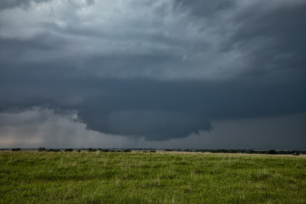
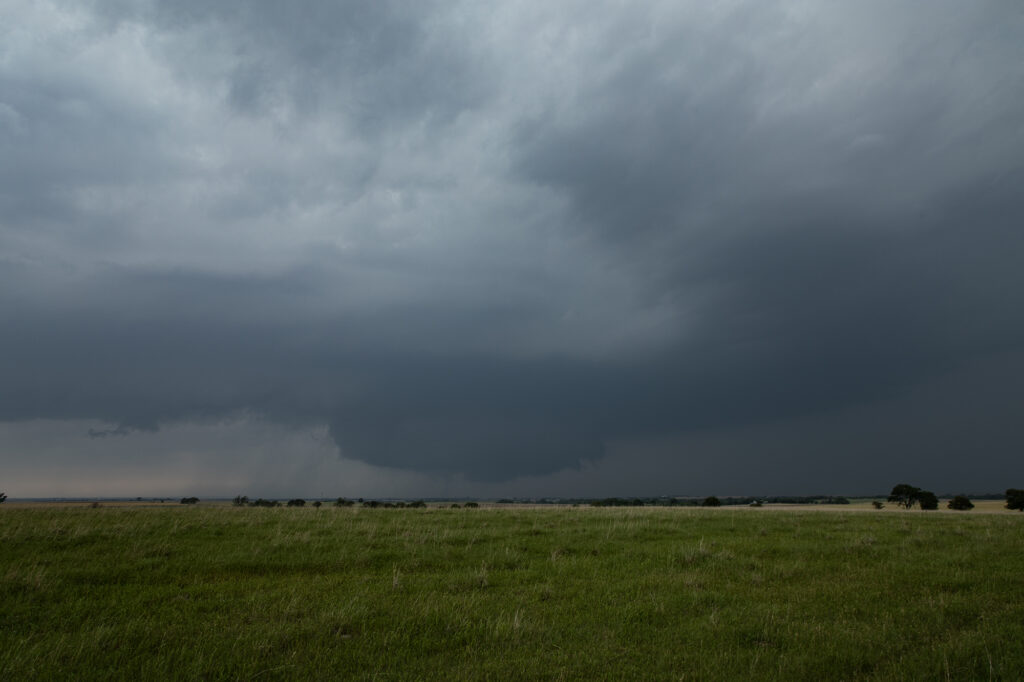
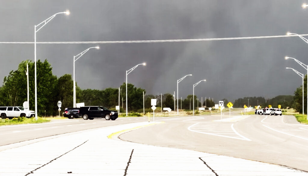
Tag Archives | lightning

March 13th Rossville, Kansas Tornado

March 13th saw our first ON CALL tour of 2024 take place. We chased the 13th and 14th and intercepted either tornadic supercells or tornado warned supercells both days. March 13th took us to central/eastern Kansas to play the warm front/dryline triple point. Most models suggested storms would form there and also along the warm front. And they did both! We jumped on the first strongly rotating supercell east of Alma and watched it intensify and become tornadic after dark. A second supercell to our west also became tornadic near Alta Vista. Unfortunately, since we were committed to the initial eastern cell, we could not make it back west to play the Alta Vista cell. As our cell crossed I-70 west of Topeka it became tornado warned with two large cone funnels extending halfway to the ground. The eastern funnel touched down and became a tornado which lasted close to 10 minutes near the town of Rossville. We stayed with the storm all the way to Hoyt, where a tornado was also reported. We could not confirm one as anything was completely rain wrapped.

March 14th we chased in eastern Oklahoma and western Arkansas and intercepted several tornado warned storms. No tornadoes were confirmed, however hail nearly grapefruit sized occurred. We ended up near Atoka, OK at the end of the day chasing a tornado warned storm just north of town.

Overall, a great way to start the 2024 chase season!!!!

July 29 -August 8 Arizona Monsoon Storms

Each year we run a tour in the desert southwest from Tucson we call the Desert Thunder Tour. Its specific purpose is to photograph the incredible lightning that occurs during this period. The 2023 monsoons haven’t been very good thus far, however we were still able to capture many great lightning strikes in southeast Arizona and also near Sedona. Nothing prettier than the desert landscape filled with cactus and red rock foregrounds to set the stage for a beautiful lightning image! Please enjoy them!

July 20th Southeast Colorado Tornado Warned Supercell

July 20th featured good shear, excellent moisture and instability, and the Palmer Divide to produce storms with upslope flow. Mid afternoon a supercell formed near Simla, Colorado and turn to the south. As it did, it was rotating very strongly and may have produced a couple of broad, weak tornadoes. The lightning was absolutely insane with the supercell and the hail was quite large, up to softball sized! As the storm moved south, it was interfered with by another supercell and the southern storm became the dominant supercell. It moved southeast and eventually collided with northeast moving storm near LaJunta. Over the next 45 minutes it struggled to maintain any intensity until it finally pushed through all the left moving storms. It became tornado warned near Las Animas and had quite strong rear flank winds along with very large hail. We ended up letting it go as we needed to be back in Denver that evening. A great local chase for our tour group and one of the prettier supercells and lightning shows on the season! Enjoy the pics!!!

July 15th Northeast New Mexico Supercell

July 15th had a lot going for it. Strong northwest flow aloft would generate good shear with surface southeast winds. High dewpoints in the 60s at high elevations, would also generate a lot of instability. The upslope flow helped develop a well structured supercell near Wagon Mound, New Mexico. This storm was well structured and also produced huge hail baseball sized. The low levels never could tighten up enough to produce a tornado, however the supercell spun southward toward I-40 near Cuervo. It was severe warned for over 4 hours as it moved towards the south. Eventually we let it go as numerous storms blew up around it and thus reduced its ability to continue to maintain its strength. Fun chase over the plains and canyons of northeast New Mexico and fortunately to road network allowed us to continue chasing it all afternoon and early evening.


July 13th Eastern Colorado Tornado Warned Supercell

July 13th featured a play in eastern Colorado along an old outflow boundary from previous day convection. Storms formed fairly early, by 1pm along this boundary. It didn’t take long for them to become well organized and severe warned. One cell developed an impressive hook on radar and spun strongly. It produced a couple of funnel clouds, but nothing that touched down. Structure was nice, but storms became HP in nature as they moved almost due south in northwesterly flow aloft. Another cell formed southwest of the first and became tornado warned. We blasted towards it since our storm was weakening due to ingesting outflow air from the new storm. As we arrived on the new cell, it was quite messy and never looked like it would produce anything. We stayed with it for a couple more hours until numerous storms exploded between LaJunta and Lamar, CO.  At that point, we called it a day and dropped south to our hotel in the Oklahoma panhandle. A fun day and our first supercell came very close to producing a tornado! Enjoy the pics!

July 8th LaJunta, Colorado Tornadic Supercell

July 8th was the arrival day for our final tour of the year, Tour #9 the Great North Tornado Hunt. Due to the weather forecast that day, we took the group out for a chase in southeast Colorado. A supercell formed east of Colorado Springs late afternoon and spun like crazy all the way to Kim, CO near the New Mexico border. With strong shear, good moisture and instability in place, the storm would become a long-lived supercell and produce hail 3.5 inches diameter, as well as a nice tornado north of Kim that was on the ground for a few minutes. The structure of this supercell was one of the best of 2023! By mid evening it dissipated, so we went back to Denver to get ready for our official start of the tour. A great way to spend arrival day chasing a stunning tornadic supercell! Enjoy the pics!!

July 6th Aurora/Watkins, CO Tornadoes

It’s always fun when severe weather keeps you in your own backyard! Such was the case on July 6th! A boundary stretched across the Aurora/Watkins areas and by mid afternoon, storms rapidly developed. Soon a tornado formed south of I-70 touching down for a few minutes. About 30 minutes later, a landspout tornado formed along the boundary just northeast of Watkins persisting for several minutes. We stayed with the storms to see if any other tornadoes would form along the boundary, but as if often the case, wind fields were disrupted by ongoing storms, thus lessoning the chance another tornado would occur. Great backyard chase!

June 28th Kimball, Nebraska Large Tornado

June 28th had a lot going for it. Good moisture, strong instability, superb wind shear and the upslope play of the Laramie Range in southeast Wyoming. A supercell formed mid afternoon and became an electrified beast! As the storm spun east/southeast, it produced huge hail baseball sized, but never really was a tornado threat. As it moved into far southwest Nebraska, it encountered better moisture which allowed the cloud base to come down. That helped the storm tap into greater low level wind shear and develop rotation. A couple of funnels occurred before a rather large, dusty tornado formed about 8 miles south of Kimball. The tornado was on the ground for over 10 minutes as it moved slowly southeast.  The storm continued to spin strongly off the Cheyenne Ridge into far northern Colorado. It weakened for a time and then reintensified east of Sterling. It continued its slow march to the east, now producing huge hail and flash flooding. We let it go at that point and went to the hotel after shooting lightning for awhile. Crazy fun day and thankfully the large tornado stayed over open lands. Enjoy the pics!!!

June 27th Broadwater, Nebraska Supercell

June 27th had 2 different targets. One by the Nebraska/South Dakota border, and a second along the Chugwater low at the Nebraska/Wyoming border. We hoped to chase the northern target, but nature had other plans. We went south and caught an intensifying supercell west of Bridgeport, NE. We had to punch through the core and encountered pingpong ball sized hail as we approached Broadwater, NE. Once on the east side of the storm, intense lightning was occurring. Structure became quite nice as the storm spun hard moving towards the east. After it passed Oshkosh, it started weakening as it encountered a capping inversion. We followed it through the sandhills and had a nice sunset with great color and lightning! Enjoy the pics!!!

June 26th Big Horn Mountains, Wyoming Supercell and Brief Tornado

The first day of Photo Tour #3 took us to northeast Wyoming to chase the upslope play into the Big Horn mountains. Storms formed early afternoon and struggled to come off the higher terrain for a couple hours. A very low hanging, rotating wall cloud occurred west of Buffalo, WY and produced a 3 minute weak tornado on the top of a mountain! Quite the sight to see! As the storm came off, it became a pretty LP supercell and spun to the southeast, south of Gillette, WY. It eventually dissipated as another supercell formed north of Casper, WY. This cell was rotating nicely and produced a couple of funnels as it moved towards the flat lands east of town. Structure was nice as it persisted well after sunset. A fun day for the tour!