Tag Archives | thunderstorm

May 22, 2026 Abernathy/Floydada, Texas Tornadic Supercells

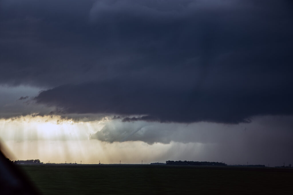
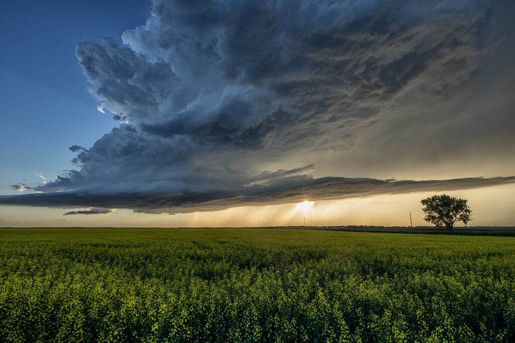
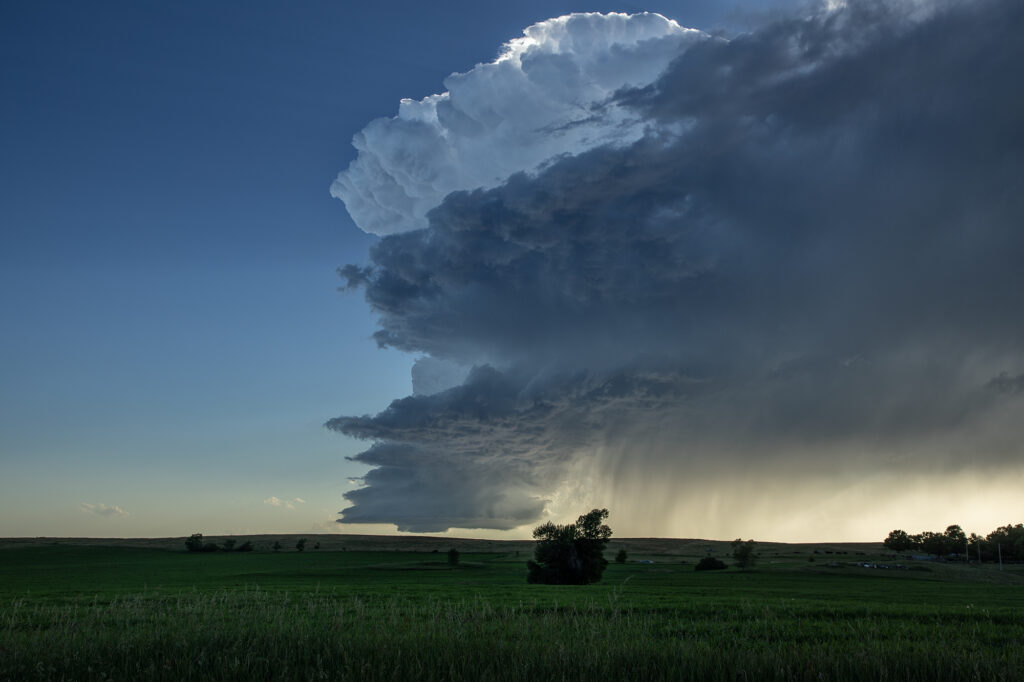
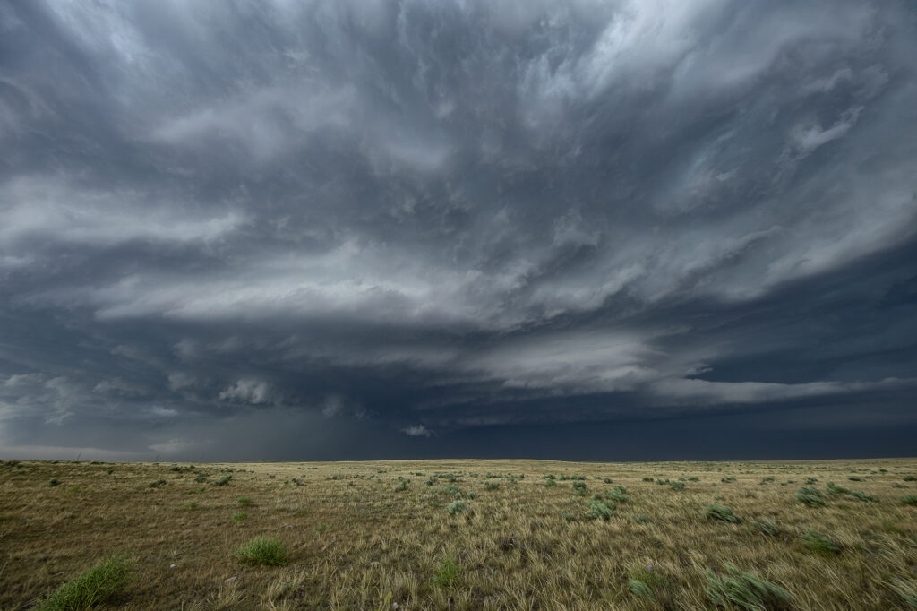
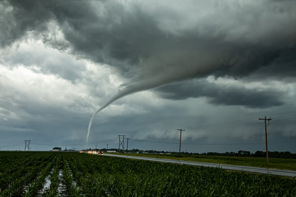
Interesting set up this day. Old outflow boundaries were present in the Texas south plains and caprock. Although dewpoints were only in the 50s, with temperatures in the 80s, enough instability and shear were present to develop storms. One such storm formed near the Plainview area along a boundary that contained low 60s dewpoints. We knew this was out storm! We stayed with this for a couple of hours as it developed into a pretty supercell with that nice sculpted structure from the east. Later, storms developed near Lubbock and moved north. Other high based storms developed behind our supercell and all 3 collided north of Lubbock. We were on the east side still, with no true reason to go behind the storm (typically not a favorable place to watch!), but a fluke occurred and produced a 2-3 minute dusty, weak tornado behind our storm! I wouldn’t have changed anything in the way we chased this, as this is usually the best view of a supercell. A couple of chasers caught the tornado as they blasted south to try and get around the south side of our storm from behind and basically were fortunate to witness this dirt bomb. Funny day, still like how we chased it but did witness a landspout tornado during its lifetime.

May 21, 2026 Anton, Colorado Tornadic Supercell

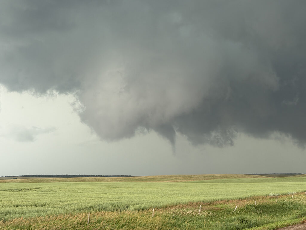
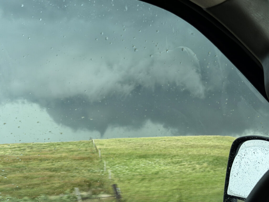
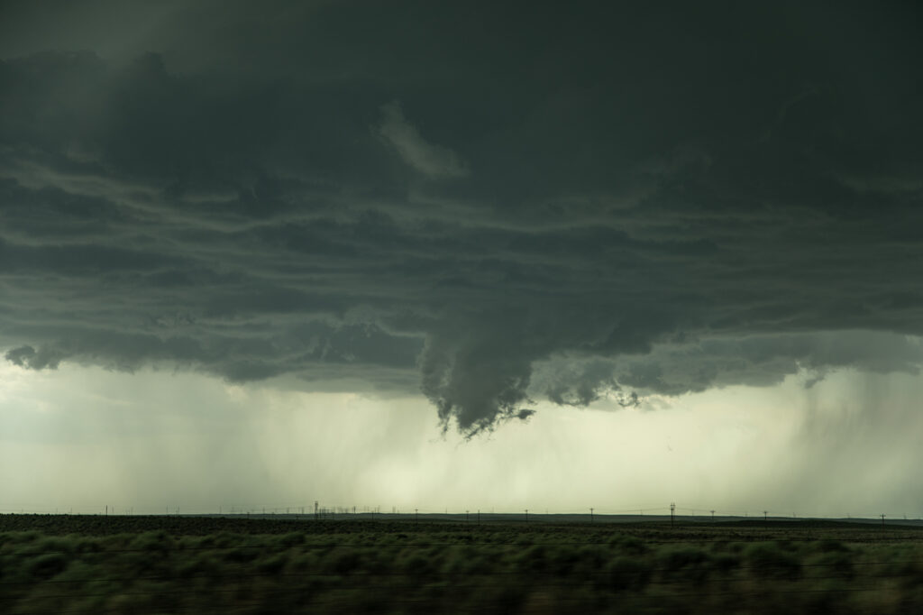
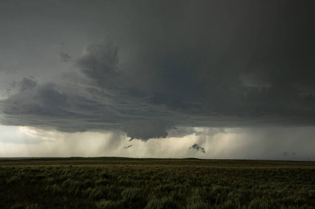
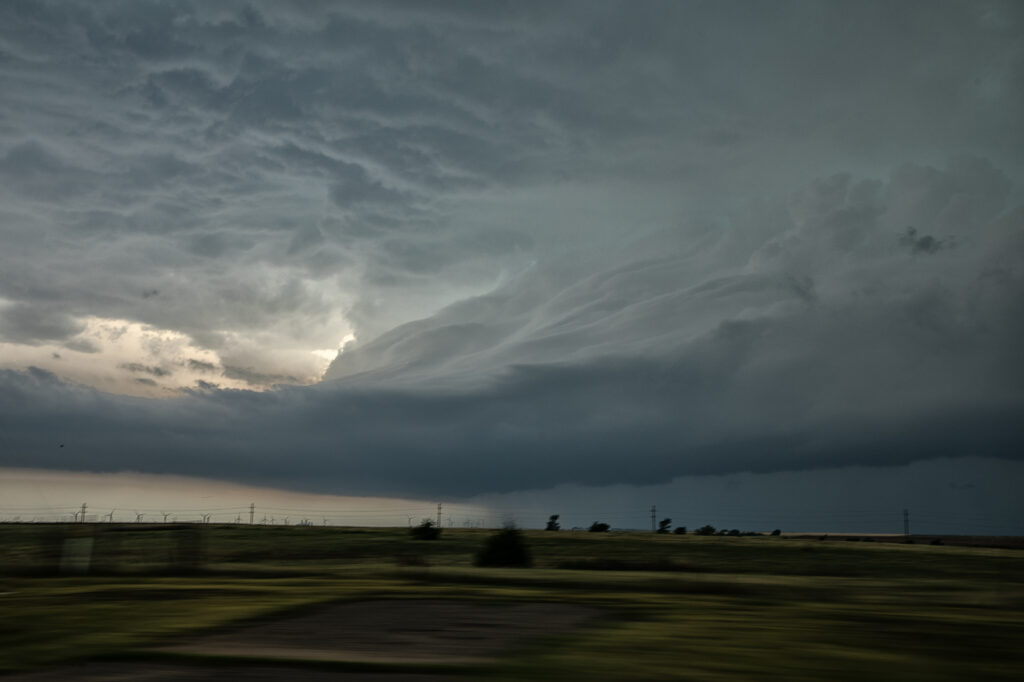
May 21st took us to Colorado. Between upslope into the Palmer Divide, as well as an outflow boundary, most models had storms forming near Limon, before intensifying and moving east. That is pretty much what happened. A supercell formed near Deer Trail and moved east, gaining strength and becoming tornado warned. Good shear, but relatively cool surface temps kept this from being a major event, but the storm still produced softball sized hail, several funnel clouds and one brief tornado south of Anton. As it continued to move east, it encountered cold air with temps in the 50s and became an elevated hailer. Eventually near Burlington it weakened as instability waned and nocturnal cooling set up. A fun time was had by all the guests as the structure was quite nice and the funnels fairly close with the road network being sparse. Enjoy the pics!!

May 20, 2026 Davis Mountains Supercell

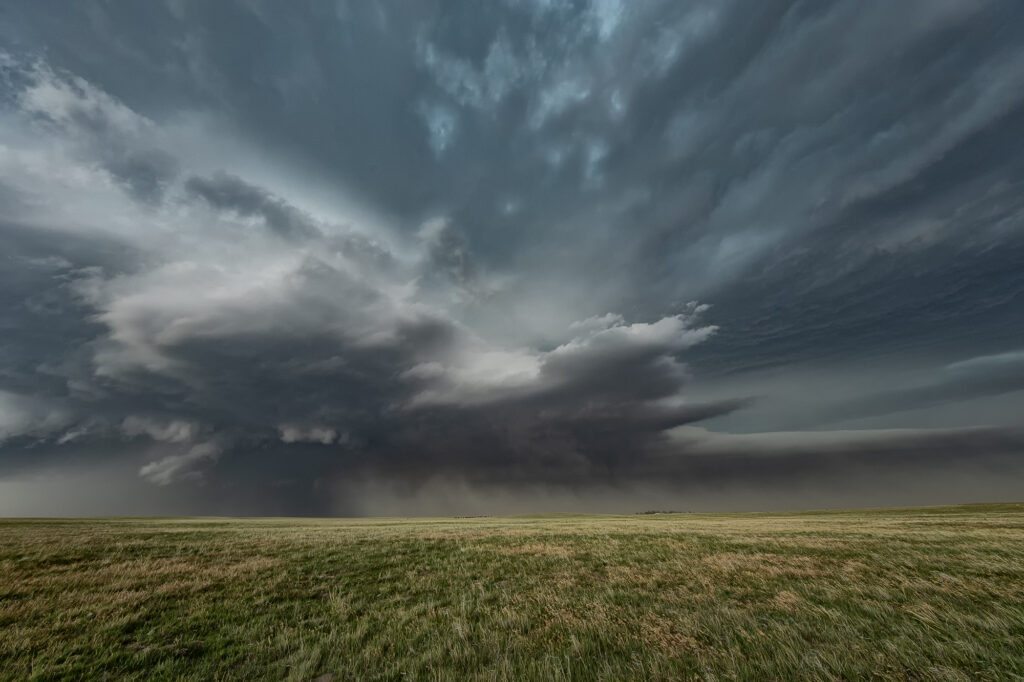
May 20th the environment was not overly conducive to supercell thunderstorms. Overnight stratus generated from elevated storms, covered the area and kept it pretty cool. Due to this low level cloud cover, we headed south from Ft Stockton to the David Mountains where the elevation is much higher. When we arrived skies were clearing instability was building. Storms formed over the mountains and eventually intensified and moved off of them to the east. One storm became a supercell, warned for big hail and high winds. As it moved it, it’s gust front blew up a lot of dust. There were many gustnadoes, which could have fooled people into thinking they were real tornadoes. Eventually the storms gusted out and weakened. A fun day, with better results than anticipated! Enjoy the pics!!!

May 18th Northern Kansas Tornadic Supercells

May 18th was a good set up in Kansas. An outflow boundary laid across north of I-70 and a dryline stretched north/south along US highway 81. A significant supercell formed north of Salina and moved northeast, producing at least a couple brief tornadoes. Other supercells formed along the triple point and also became tornado warned. We chased SEVEN different supercells that had tornado warnings. The biggest problem this day wasn’t just the fact there was a lot of seeding going on, it was the shear number of chasers that were in the area. Sooner or later there will come a day when a large tornado hits a line of chasers and causes a lot of problems. Sometimes, it pays to stay back a bit and let the chaser hoards get close. But, great shear an 70 dewpoints certainly allowed for numerous tornado warned supercells to form. A few weak tornadoes did occur, and a few look a likes also that were reported as tornadoes, and were not. Enjoy the pics please!!

May 17, 2026 St Libory, Nebraska Violent Tornado

May 17th had a lot going for it. Great shear, good moisture and instability and a triple point just to the west of Grand Island, Nebraska would set the stage for intense supercell development. As storms formed near the triple point, they were just on the cool side of the boundary. Anchoring in that spot, one cell latched on to it and started to spin. Soon a tornado warning was issued. As we had to reposition, the storm quickly became tornadic and produced a high end EF3 tornaddo near the small town of St Libory. We couldn’t get back in front of it and had to watch the tornado from the poor contrast side to the south. Soon the storm rapidly weakened and we dropped south to chase other tornado warned storms. A wild day and some crazy moments. Our hearts and prayers go out to those affected by this strong tornado.

April 26, 2026 Osage County, OK Tornadic Supercell

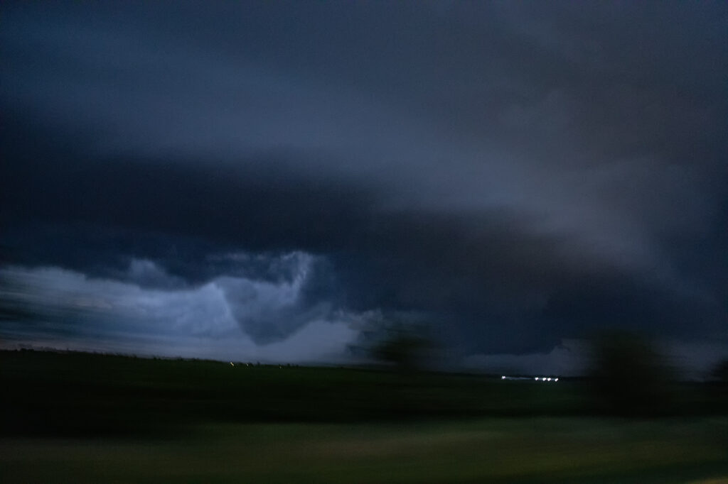
April 26, 2026 took us to Osage county, Oklahoma to chase a tornadic supercell from Foraker to Herd. Strong shear, a dryline and extreme instability would set the stage for supercells. One such storm formed near Blackwell and intensified as it moved east. It became tornado warned as it moved east towards Foraker. Due to poor, muddy roads, we had to drop south to highway 60 and east to Pawhuska, then north to get in front of it. During this 20 minute process, of course, fate would have it that it produced a tornado! However, it was on the ground for less than a minute. As the supercell approached us a broad, rotating wall cloud was evident, and multiple funnels formed over the next 30 minutes. This storm had great structure and intense cloud to ground (cg) lightning! As it approached our location, a large bowl formed under it and soon a cone funnel descended to the ground. It persisted for a few minutes. We stayed with the storm in the dark as it moved east and eventually dissipated near Bartlesville. Fun day, frustrating at times as is often the case in Osage county, but good end results! Enjoy the pics!

April 25, 2026 Southeast Oklahoma Tornadic Supercell

Day 1 of the Close Encounters tour kept us very close to Oklahoma City. A warm front/dryline triple point was just south of town. Models show extreme instability developing during the afternoon, with isolated supercells forming.  Mid afternoon we drifted to Sulfur as storms formed close by. As they moved east the weakened moving north of the warm front. Eventually one storm anchored on the boundary and started spinning. It produced and bog cone funnel that just could stay consolidated, and fell apart after a few minutes. Due to many storm interactions, we dropped south to the tail in cell near Mill Creek. As we arrived a tornado formed. We saw the debris cloud from a rock plant and were able to stop in time to take photos and videos. It was on the ground for about 5-6 minutes. This day was a ton of hard chasing but in the end we managed to see a tornado. Enjoy the pics!

April 23, 2026 Central Kansas Tornadoes

As we headed from Denver to Oklahoma City to prepare for our first tour of the season, we caught a few severe storms producing a couple of tornadoes in Kansas near Cottonwood Falls. A boundary was pushing slowly east and fired off supercells along it, so we stayed with them as they moved into better shear. One lone supercell east of the boundary had nice structure and produced a truncated cone tornado west of town. In the distance you could see the line of storms on the front and they started producing landspouts. Later in the evening, 2 supercells south of the KS/OK border became violently tornadic with one strong tornado directly impacting Enid. Our thoughts and prayers go out to those affected it this tornado!

April 14th Northeast Iowa Tornadoes

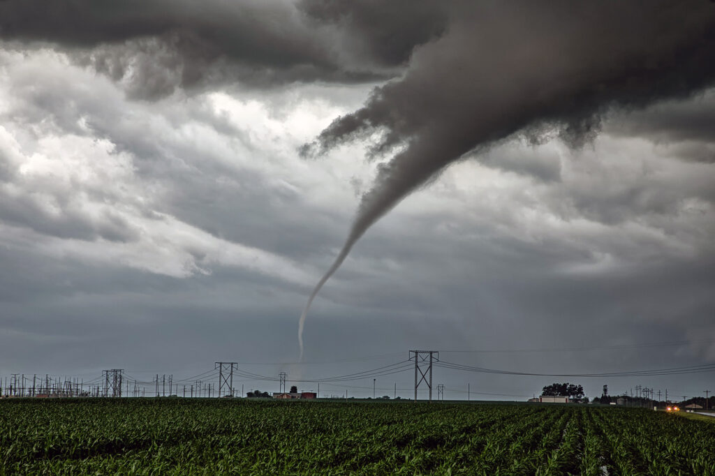
April 14th kept us in the northern plains. The same synoptic warm front/triple point from the 13th, was evident on the 14th centered northwest of Des Moines, Iowa. By mid afternoon storms formed there and intensified as they moved northeast. Near Eldora, Iowa,  one supercell cranked up quickly and spun like a top. A rotating wall cloud formed, spinning wildly, and dropped a tornado that skipped across the ground for about 10 minutes causing some damage to farm buildings. After the storm occluded, the cell moved east towards Waterloo and kept having cell mergers which interfered with it’s ability to produce more tornadoes. East of Waterloo, near Masonville, it cranked back up and became tornado warned. A lowering/truncated cone funnel formed and wrapped quickly with rain. It touched down producing some minor damage as it stayed on the ground for several minutes. After it lifted, the storm became rain clogged as more cells developed merging with the parent supercell. At this point, having to be back in Denver the next day, we dropped south to Iowa City and headed west to Lincoln, NE for the night (arriving after midnight!). As did dropped south, another supercell developed a hook and became tornado warned as well. We could see the lowering, which 30 minutes later produced a pretty 3 minute tornado, as we headed westbound for the night. Overall a fun day, great storms, messy tornadoes, but everyone enjoyed it!  Enjoy the pics! Video coming soon too!

April 2nd Eastern Iowa Tornadic Supercell

April 2nd had potential but there were a few flies in the ointment. First would storms form ahead of a surging front? Second would they form north of a warm front? The answer to these questions was soon resolved. An isolated supercell formed ahead of the front/squall line near Ottumwa, also south of the warm front.  As it moved northeast, it strengthened and soon became tornado warned. Several times it produced funnels and even a couple of brief tornadoes as it moved just east of Iowa City. Eventually it was absorbed in the surging squall line. Structure on the supercell was decent, and it had low and mid level striations. Wall clouds were persistent the entire time it was tornado warned. It also produce hail to golfball sized. Fun chase day, but it is always difficult to stay up with storms moving at 60 mph!!