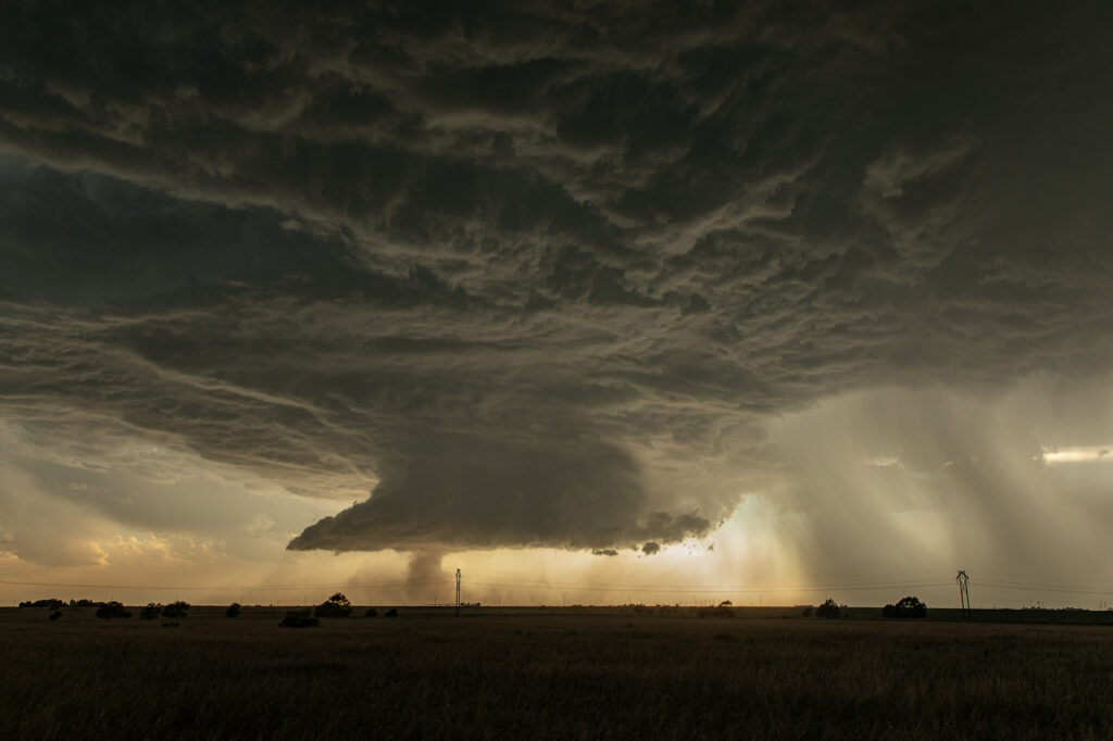
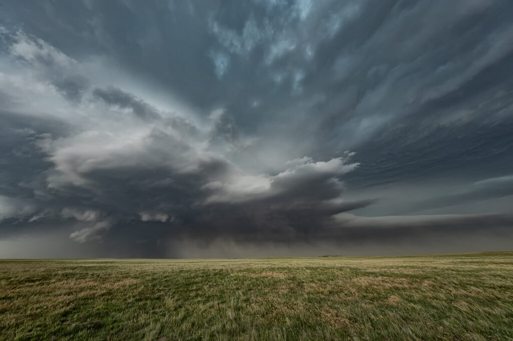
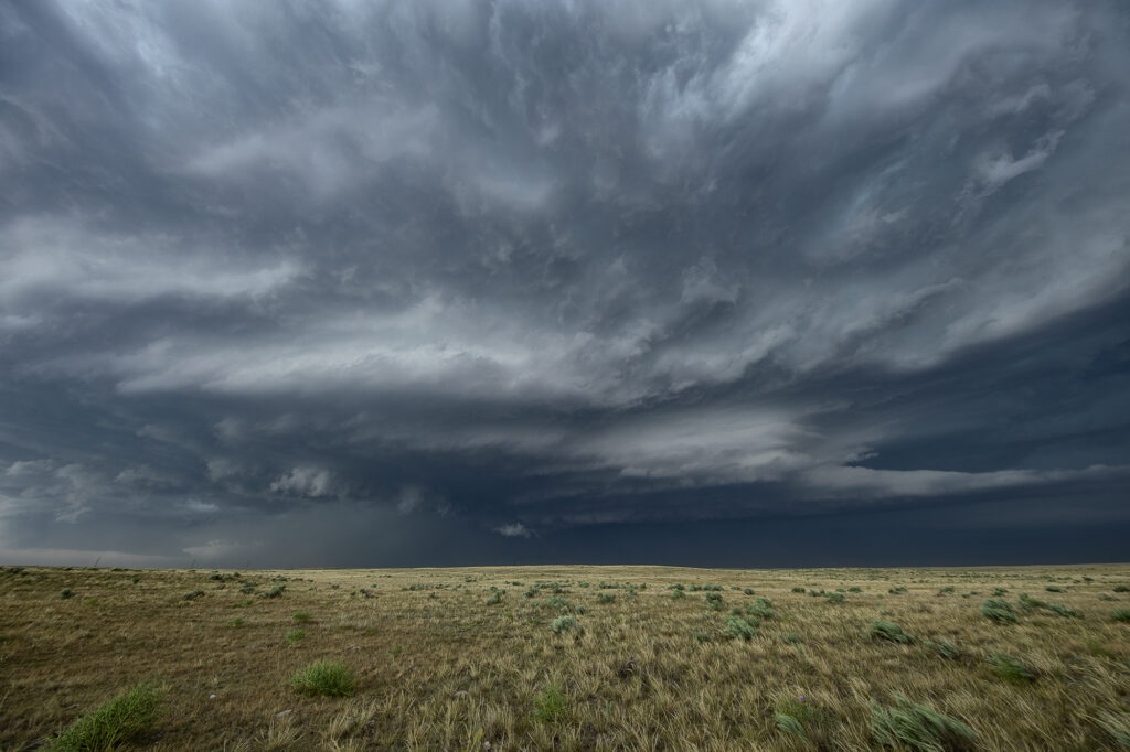
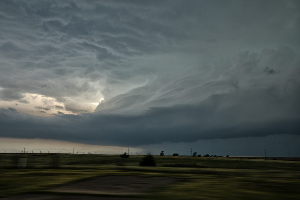
Tag Archives | 2026

July 11-14, 2026 Arizona Severe Storms

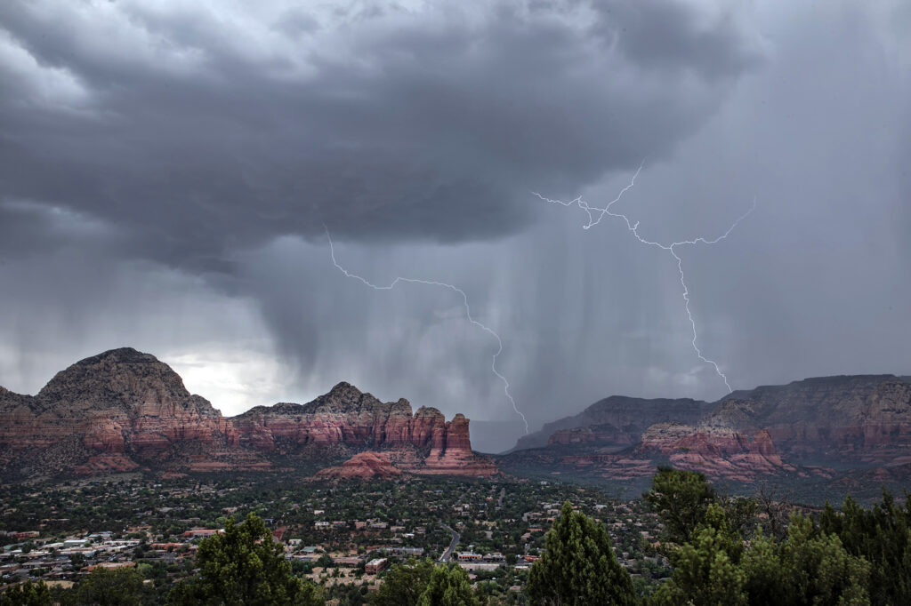
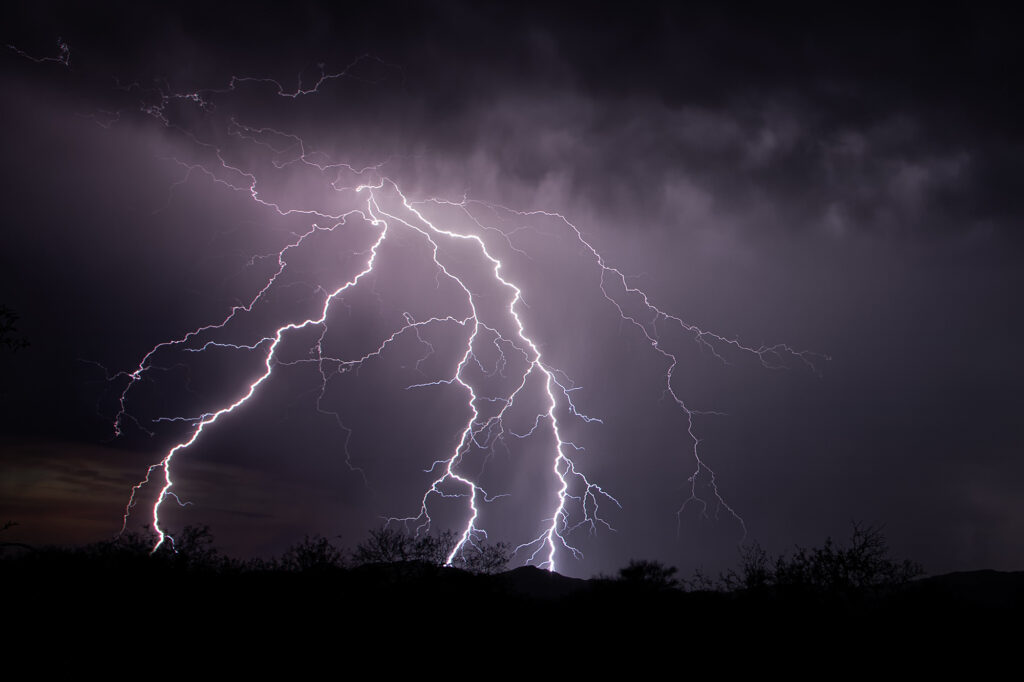
July 11-14, 2026 was our annual Great North Tornado Hunt tour. However, due to a sprawling ridge of high pressure which shut down northern plains chasing, we decided to take the tour to Arizona in search of severe monsoon thunderstorms. It did not disappoint!! We arrived early evening after a long days drive, only to find severe storms west of Tucson. We blasted out towards Kitt Peak as the sunset, just in time to catch the lightning show! Incredible cgs lit the sky for over an hour before weakening. On the 12th we encountered a cluster of severe storms near Sells, AZ that produced an amazing haboob! The wedge of blowing dirt was textbook! One of the best I’ve seen. On the 13th we needed to start our journey back to Denver, stopping for storms over Sedona, AZ. What a beautiful sight watching lightning striking the gorgeous red rock near town! We would have rather chased supercells and tornado in the northlands, but with the ridge in place it is always our motto to go where the weather takes us, regardless where that is! Enjoy the pics!
 

July 3, 2026 Eastern Colorado Severe Storms and Aurora Borealis

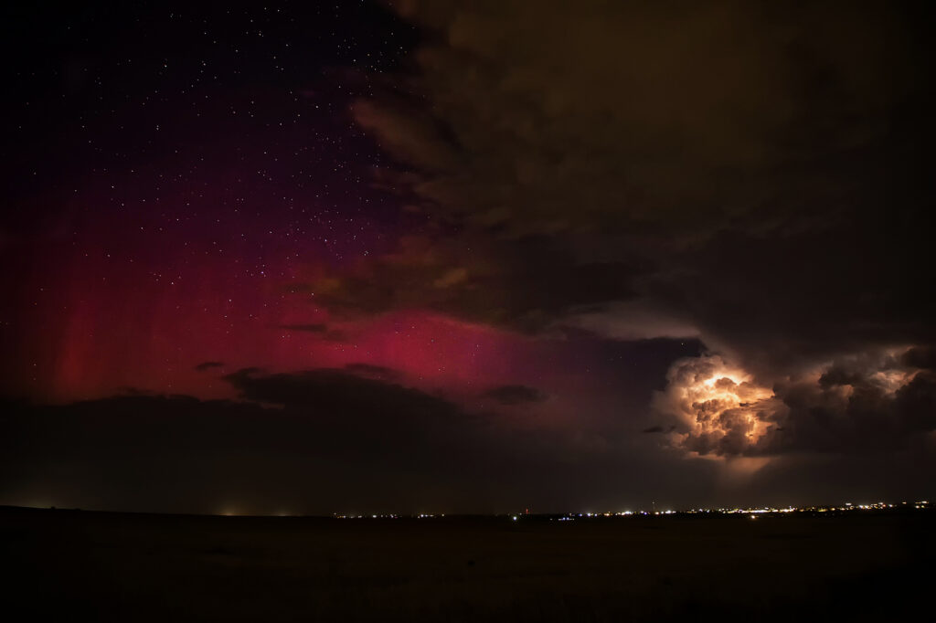
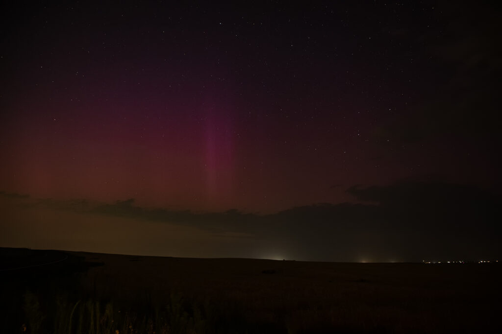
July 3rd was the final day of the photo tour and as such, we had to be back in Denver that night. After a CME hit earth, I knew there would be a geomagnetic storm that night, but didn’t think it would reach G3, with a Kp of 7!! Thunderstorms formed just before sunset and slowly pushed east of the Denver metro. As darkness grew, you could see the beginning of the aurora peeking through the clouds. I drove well east of town towards Bennett/Strasburg to get away from the intense city lights. What happened next was magical! The storms intensified and became severe for hail and wind, but on the back side of them as skies cleared, pillars or red, green and purple peeked through the clouds and made for a surreal scene! I was able to get several shots of the aurora and the glow of lightning, as well as a couple shots of cgs too! What a wild way to end the week!!! Enjoy the pics!


July 2, 2026 Gann Valley, South Dakota Tornadic Supercell

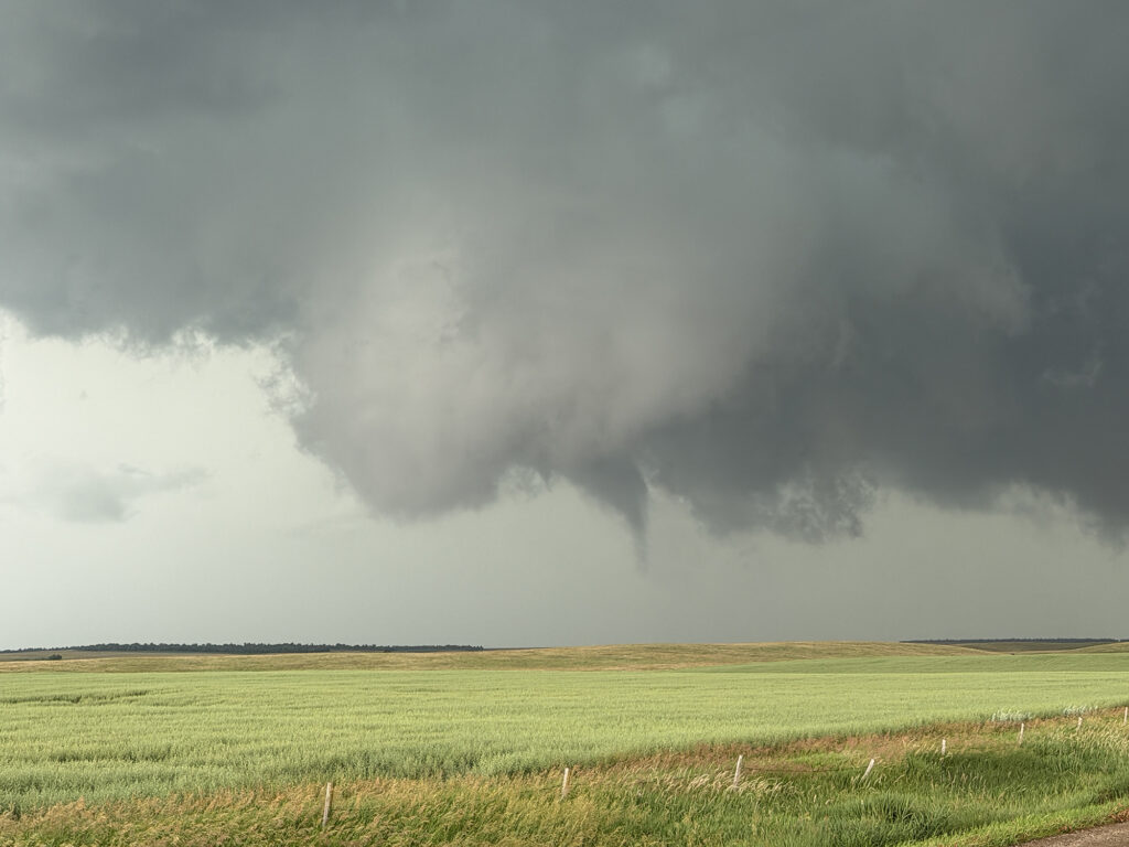
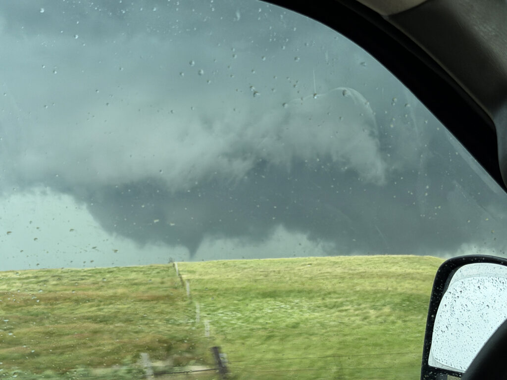
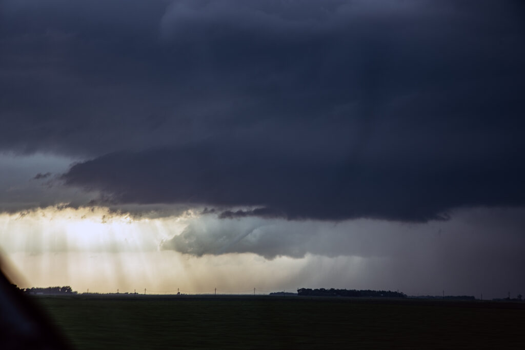
After a few really long driving days on tour, we started in South Dakota on July 2nd. We decided to play the MCV moving up out of Nebraska and pushed to Murdo. As we did, storms exploded on an outflow boundary that continued to drift south. Storms would spin, become severe and slowly get undercut. One storm back an hour to our east near Kimball, SD was different. It rode the boundary east and I knew we needed to get there and FAST. It became tornado warned, and eventually produced a decent elephant trunk shaped tornado just before we arrived. We pushed to Gann Valley and turned east. We got on the other side of the hook, and were greeted with a rather large wedge shaped lowering, which produced a tornado. Considerable tree damage was seen for about a quarter mile as we got on the other side of it and watched multiple funnel clouds form. A couple may have touched down briefly, but doing no damage. We stayed with the storm until a raging line formed, which also had QLCS type spin ups forming along it. Quite the surprise this day! Enjoy the photos! (Some cell and some DSLR)


June 29, 2026 Fargo, North Dakota Tornadic Supercell

June 29th kept us in far eastern North Dakota as a warm front lifted north from South Dakota. The cap was strong and it took until 7pm to get a good storm to fire along it. We had chased a tornado warned supercell towards Bismarck earlier in the day, but it moved along a front and weakened. Thus we blasted to the warm front and caught a tornado warned storm southewest of Fargo. As it approached Fargo, it was obviously spinning hard, and a long, snaky funnel formed over I-29. As the dissipated, another updraft developed on the east side, just east of Fargo and had substantial cone shaped funnel. Multiple reports that it briefly touched down came in, and I certainly can’t argue with that. Due to multiple storm mergers though, the supercell just never could take off and take advantage of the great shear along the warm front. We ended up blowing it off and heading to our hotel as it weakened.

June 28, 2026 Bismarck, North Dakota Photogenic LP Supercell

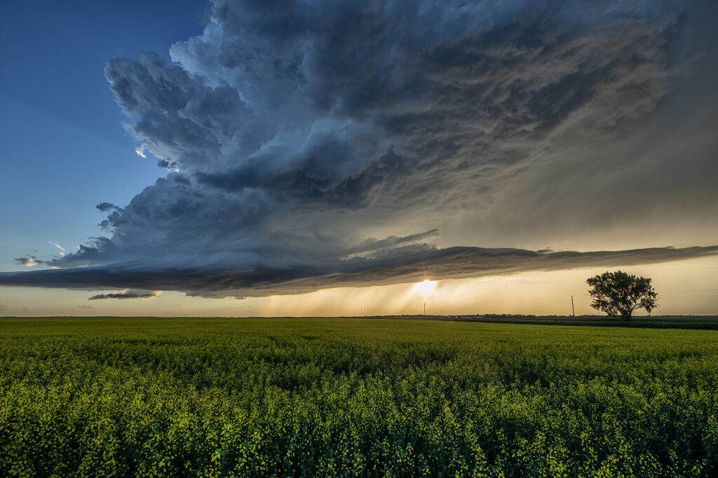
June 28th took us to central North Dakota on a set up that didn’t look great. Sometimes nature loves to surprise and it certainly did this day! An updraft developed south of Bismarck and slowly drifted north. It was severe for golfball sized hail, but the best part was the low precipitation supercell structure. Sculpted structure eventually drifted over a nice ripening canola field east of town and was just gorgeous. The storm weakened at sunset, but not before giving us a parting beautiful view! Surprise day, but oh so pretty! Enjoy the pics!

June 26th Kit Carson, Colorado Tornadic Superell

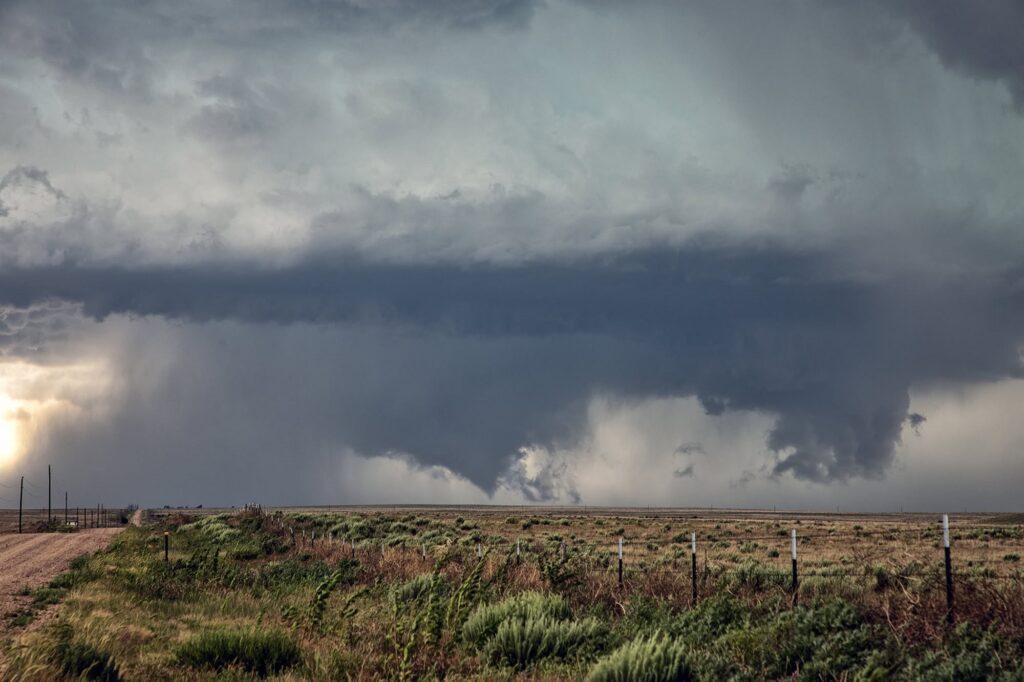
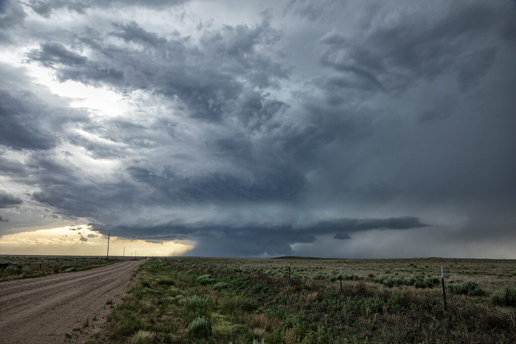
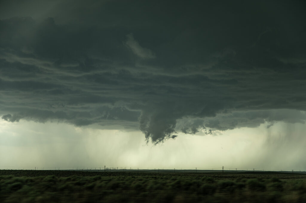
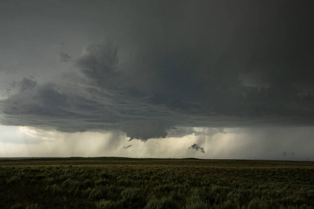
June 26th was the final day of our annual lecture tour. Needing to stay close to Colorado, nature decided to throw us a pretty supercell! A line of storms exploded on an outflow boundary south of Limon. A moisture surge came in the from the east and allowed the tail end storm to become quite intense. Structure was pretty and it spun hard. Hail fell the size of baseballs, but a wall cloud formed in the notch and really started cranking up. A cone funnel formed and descended and ascended a couple of times. Finally, it touched down before lifting back up and dissipating. We stayed with the supercell to Eads where outflow from another storm pushed north and hit our storm, causing it to become tornado warned. Another wall cloud developed and had the look. It tried hard to develop a tornado but just couldn’t get the job done. It eventually became completely undercut by outflow and diminished. A fun day and we got a lot more than what we thought we’d get! Enjoy the pics!

June 24, 2026 Northeast Colorado Tornadic Supercell

June 24th promised some intense supercells in Colorado and nature did not disappoint. Mid afternoon saw storms erupt on the south side of the Cheyenne Ridge north of Ft Morgan. These became severe and supercellular quickly, eventually resulting in a tornado warning south of Brush. As the supercells moved south, they encountered drier air and weakened. Then another storm formed on an outflow boundary north of Haxtun and became tornadic. Several tornado reports came in as we blasted north. When we got within 15 miles, you could make out the broad cone shaped funnel, but could not confirm touch down. As we got close, of course, the storm weakened. Other storms formed along the outflow boundary to our west and also became severe. Quite the sight at sunset watching the raging supercell with lightning strafing across the sky!

June 23, 2026 Plainview, Texas Tornado Warned Supercell

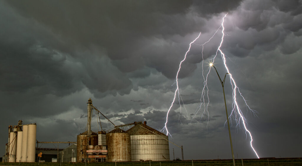
June 23rd we chose to chase the Texas panhandle were a stout dryline, good shear and instability were present. It was a long drive to make it there in time, but we did, intercepting 2 supercells, one near Happy and the other near Plainview. The latter supercell became tornado warned and had some interesting structure as well as great lightning, a couple gustnadoes, and a lot of mammatus clouds under the anvil. A lot of New Mexico smoke from wild fires covered the area and often gave the updrafts a yellowish tint to them. Cool coloring! A fun day and a couple really pretty supercells.

June 22, 2026 Northeast Colorado Tornado Warned Supercell

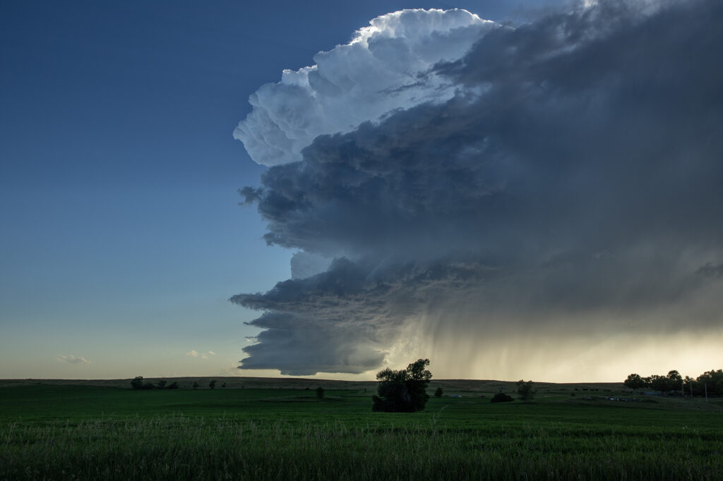
June 22nd took us to the Cheyenne Ridge along the Colorado/Nebraska border near Kimball. Storms formed on a convergence boundary there and immediately started spinning and became severe. One storm became dominant and an intense supercell. It was tornado warned off and on its entire life cycle, which lasted nearly 6 hours!  The amount of air this supercell processed was astonishing, as inflow was being drawn in at 50-60mph! Blinding dirt occurred as it was lofted in the air due to dry soil conditions and into the updraft. Several times lowerings formed and spun hard, but nothing was able to focus long enough to produce a tornado. Giant hail softball to grapefruit sized fell as the storm maintained a steady state of intensity throughout the afternoon and evening. At times it became very photogenic as the updraft contained multiple striations showing rapid rotation and had the appearance of a huge soda can. One of the strongest supercells in Colorado in the past few years! Enjoy the pics!

June 21, 2026 Northwest Kansas Tornado Warned Supercells

Marginal moisture, but strong shear would be present this day. Nonetheless, we intercepted 2 different supercells with tornado warnings, one near Colby and another north of Leoti, Kansas. Both storms were quite HP in nature, but the storm structure and “hail core green” colors were quite impressive. Neither storm produced tornadoes, however the radar presentation on both suggested it could have certainly been possible. Due to lack of roads in this part of Kansas, we weren’t able to get close enough to see what was going on in the notch of either storm. Still a fun day and more than we planned on witnessing!