
July 21st Southeast Wyoming Supercells
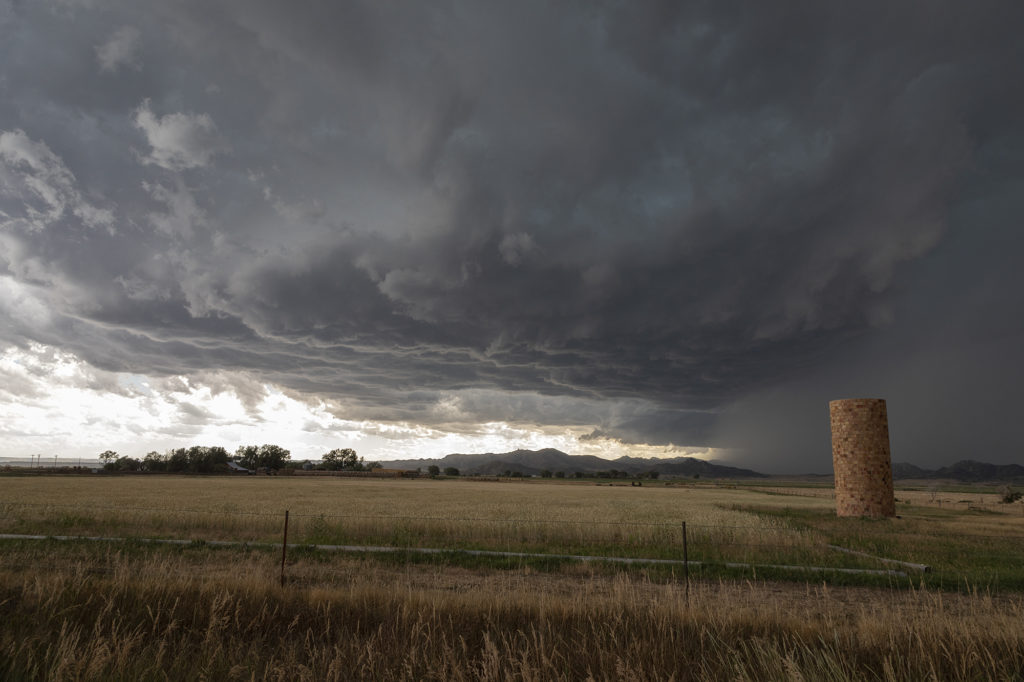
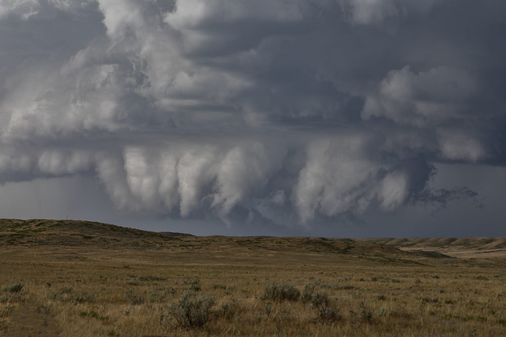
The final tour day of our 2020 season brought us into southeast Wyoming to play in the upslope flow into the Laramie Range. Several storms formed in this region and tracked southeast towards Cheyenne and points east. Decent moisture and instability, coupled with moderate shear, would help storms become organized and develop into some pretty structured supercells. Our first storm, north of Chugwater, had nice structure and produced a lot of hail. It spun hard a couple times and at one time we thought it had some tornado potential. It get really messy so we decided to target a new cell southeast of Cheyenne near Carpenter. This storm was a treat to watch! We found an old abandoned car that became the centerpiece of our photos/video as the cell slowly dropped towards us. The storm’s structure was that of the classic “stack of plates” and was fun just to watch as it drifted towards us. Both of the storms we chased this day had great structure and were very photogenic. Enjoy the pics!
No comments yet.