Tag Archives | July

July 11-14, 2026 Arizona Severe Storms

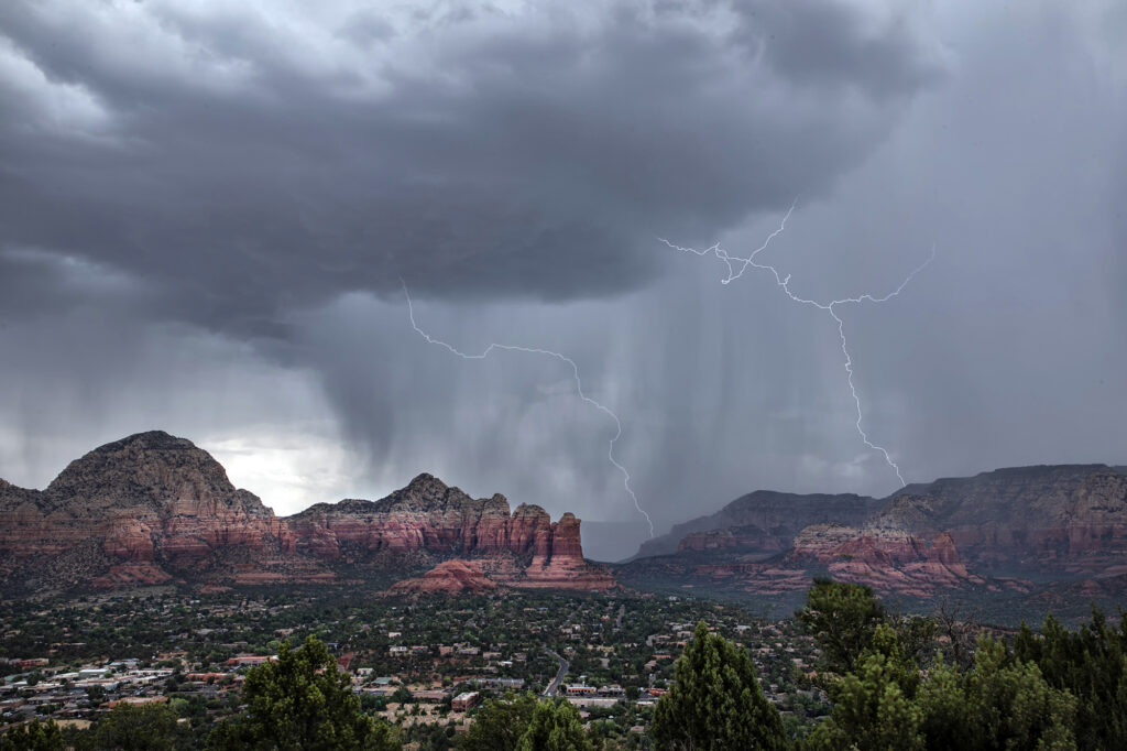
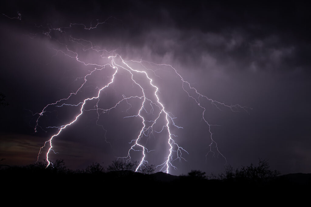
July 11-14, 2026 was our annual Great North Tornado Hunt tour. However, due to a sprawling ridge of high pressure which shut down northern plains chasing, we decided to take the tour to Arizona in search of severe monsoon thunderstorms. It did not disappoint!! We arrived early evening after a long days drive, only to find severe storms west of Tucson. We blasted out towards Kitt Peak as the sunset, just in time to catch the lightning show! Incredible cgs lit the sky for over an hour before weakening. On the 12th we encountered a cluster of severe storms near Sells, AZ that produced an amazing haboob! The wedge of blowing dirt was textbook! One of the best I’ve seen. On the 13th we needed to start our journey back to Denver, stopping for storms over Sedona, AZ. What a beautiful sight watching lightning striking the gorgeous red rock near town! We would have rather chased supercells and tornado in the northlands, but with the ridge in place it is always our motto to go where the weather takes us, regardless where that is! Enjoy the pics!
 

July 3, 2026 Eastern Colorado Severe Storms and Aurora Borealis

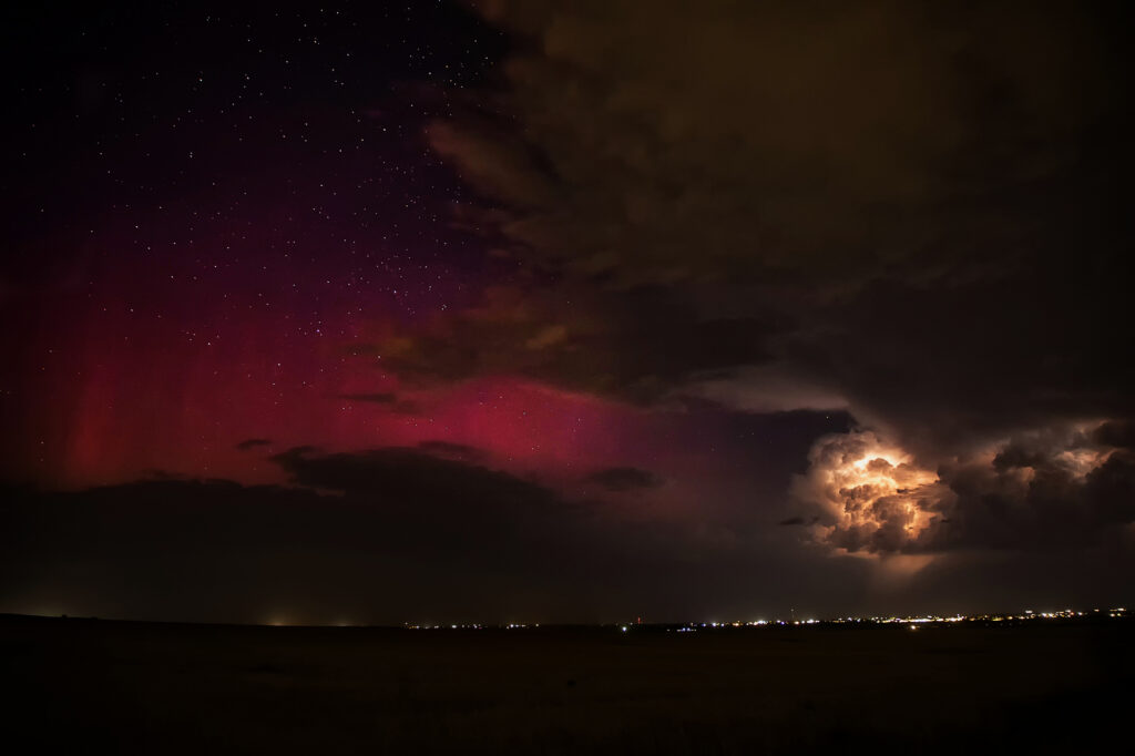
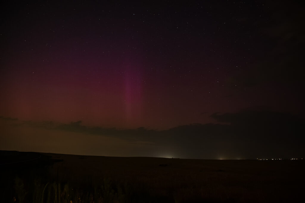
July 3rd was the final day of the photo tour and as such, we had to be back in Denver that night. After a CME hit earth, I knew there would be a geomagnetic storm that night, but didn’t think it would reach G3, with a Kp of 7!! Thunderstorms formed just before sunset and slowly pushed east of the Denver metro. As darkness grew, you could see the beginning of the aurora peeking through the clouds. I drove well east of town towards Bennett/Strasburg to get away from the intense city lights. What happened next was magical! The storms intensified and became severe for hail and wind, but on the back side of them as skies cleared, pillars or red, green and purple peeked through the clouds and made for a surreal scene! I was able to get several shots of the aurora and the glow of lightning, as well as a couple shots of cgs too! What a wild way to end the week!!! Enjoy the pics!


July 2, 2026 Gann Valley, South Dakota Tornadic Supercell

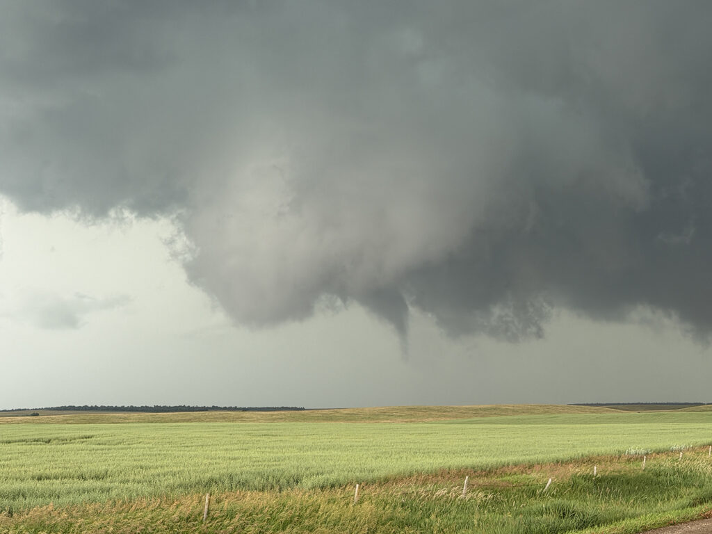
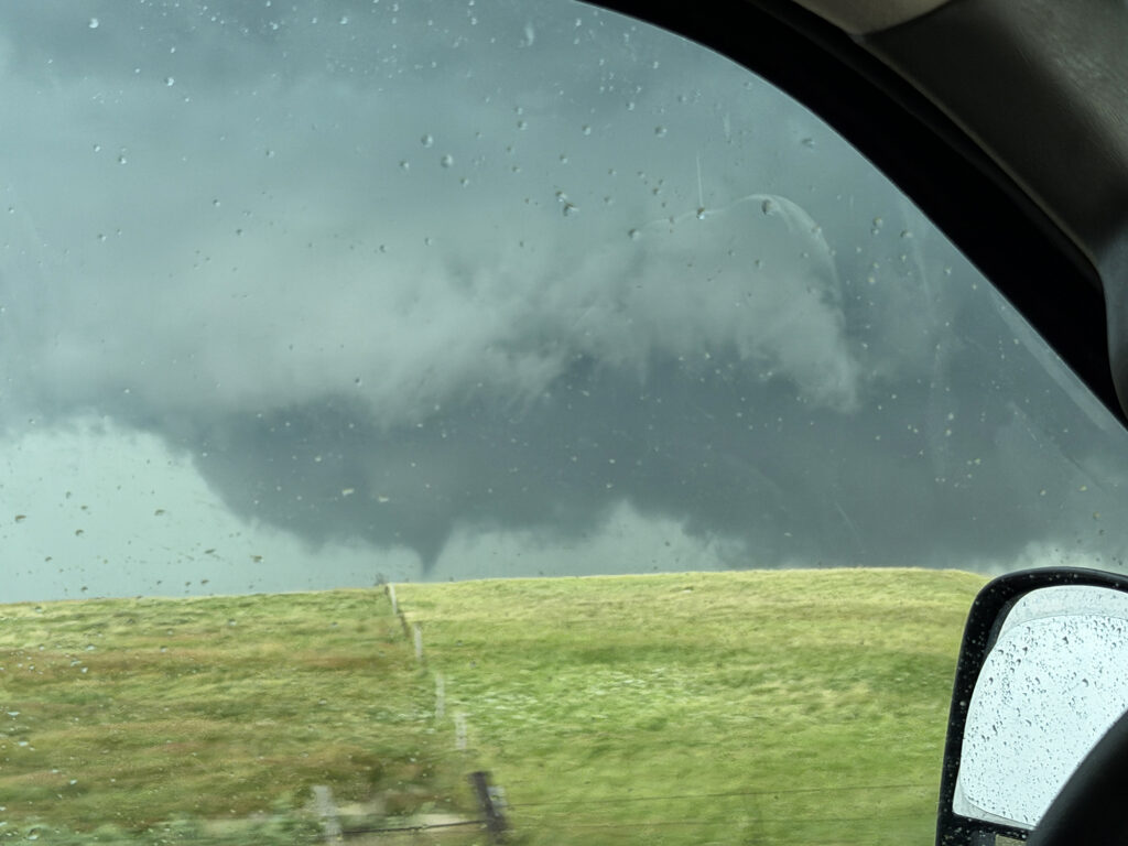
After a few really long driving days on tour, we started in South Dakota on July 2nd. We decided to play the MCV moving up out of Nebraska and pushed to Murdo. As we did, storms exploded on an outflow boundary that continued to drift south. Storms would spin, become severe and slowly get undercut. One storm back an hour to our east near Kimball, SD was different. It rode the boundary east and I knew we needed to get there and FAST. It became tornado warned, and eventually produced a decent elephant trunk shaped tornado just before we arrived. We pushed to Gann Valley and turned east. We got on the other side of the hook, and were greeted with a rather large wedge shaped lowering, which produced a tornado. Considerable tree damage was seen for about a quarter mile as we got on the other side of it and watched multiple funnel clouds form. A couple may have touched down briefly, but doing no damage. We stayed with the storm until a raging line formed, which also had QLCS type spin ups forming along it. Quite the surprise this day! Enjoy the photos! (Some cell and some DSLR)


July 1st Hyannis, Nebraska Supercell and Sunset Beauty

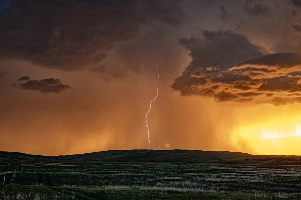
I wasn’t expecting much on July 1st and what we got was a lot better than I was hoping! A north/south dryline was over western Nebraska, however limited moisture and instability were present which would limit the severity of storms. We encountered a nearly stationary high based supercell near Lakeview that had decent structure, nice lightning and hail the size of golfballs. We eventually got cut off from the storm due to poor road options, so we moved east and south of Hyannis to watch a new cluster of severe storms at sunset. What a show they put on! It’s been a few years since we’ve encountered such an amazing display of color at sunset. Intense lightning, sun setting through the core and luscious green rolling hills made this a winner to me!! Please enjoy the pics, some beauties!

Late July/August Desert Thunder Tours

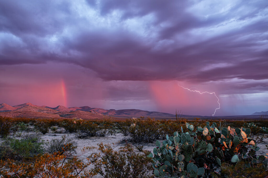
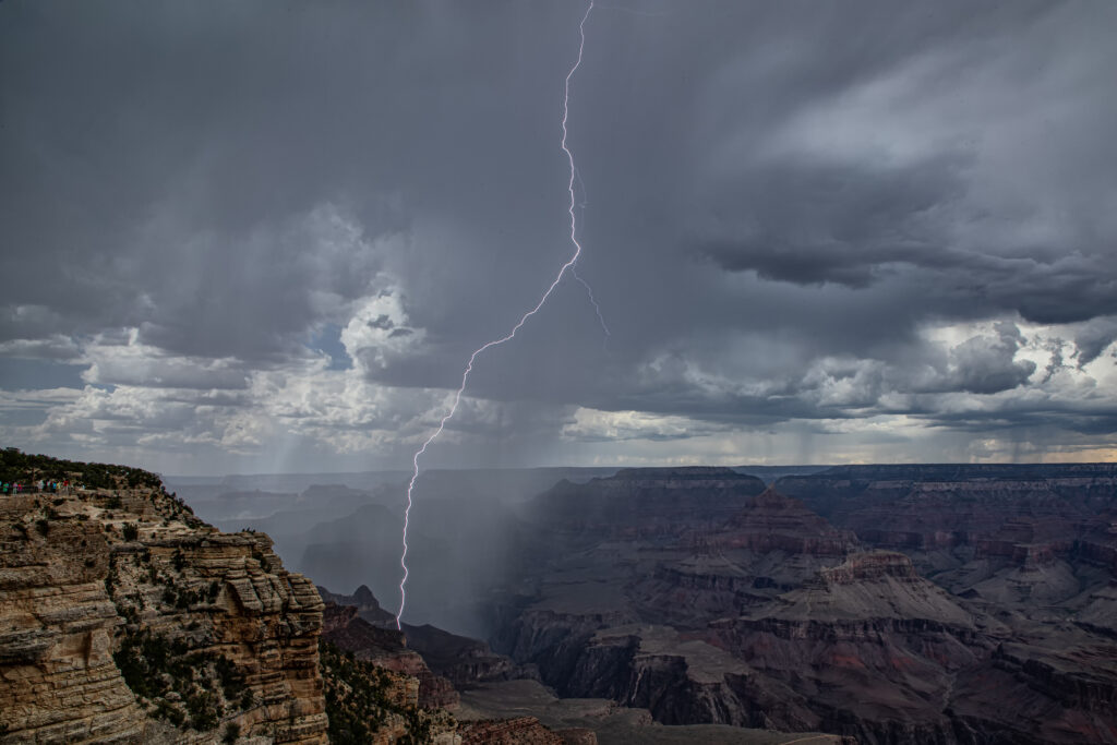
Every year we run our lightning tours. This year was an AMAZING period in Arizona while we were there! Of the 15 days we chased there, we had storms, often severe, on 14 of those days. From incredible lightning west of Tucson to phenomenal lighting over the Grand Canyon, this year’s images are some of my favorites! There are many features in Arizona that are incredibly beautiful when a storm, lighting and rainbows are present. The saguaro cactus and other cactus varieties are amazing to photograph. Red rock canyons abound, and storms form usually over the higher terrain before thunderstorm outflows push onto the desert floors and generate more storms due to lifting warm and moist air upward. We hope you enjoy these images as much as we did witnessing them firsthand! You can join us too on these incredible adventures. Word or caution, these tours sell out FAST! Enjoy!


July 7th Lubbock, Texas Supercells

A major change in the weather pattern started around July 5th. An expanding ridge was developing in the west, with one lone weak short wave dropping down the eastern side of it into the southern plains. This is very late in the season to be chasing that far south, but you chase what nature gives you! We headed south on the first day of the tour and were greeted with several high based storms, some rotating, northwest of Lubbock. A couple mid level funnels occurred, as did hail baseball sized, however, due to high bases, there was virtually no tornado threat. Tons of blowing dust happened as thunderstorm outflows became quite strong, and many gustnados formed. Pretty cool sight, but this would be the last day of this tour that would chase the plains states. Summer heat and ridging came early this year.

July 29th Adams County, Colorado Tornado

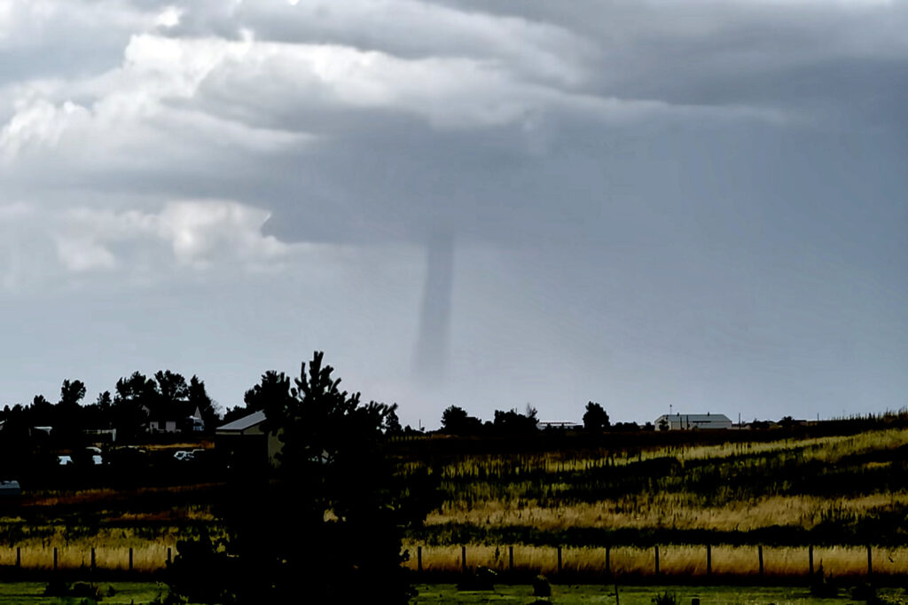
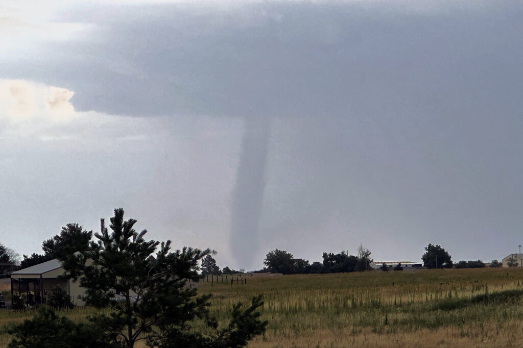
A DCVZ (Denver Convergence Vorticity Zone) boundary set up with good southeast winds along and north of the Palmer Divide in east central Colorado. As surface winds wrapped around the north side of the Palmer Divide, a Denver cyclone formed. By mid afternoon cumulus towers formed along the boundary. One such tower developed into an intense thunderstorm and spawned a landspout tornado north of our house. Caryn, doing a local chase, intercepted the storm as a mature landspout was visible from many miles away. It stayed on the ground for several minutes before lifting. The tower cam at Denver International Airport even picked it up clearly!

July 20th Southeast Colorado Tornado Warned Supercell

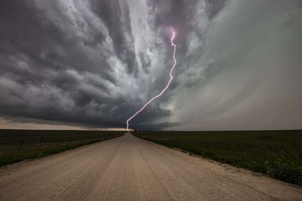
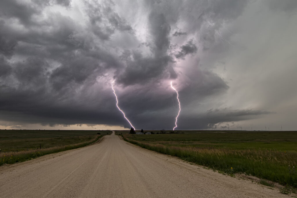
July 20th featured good shear, excellent moisture and instability, and the Palmer Divide to produce storms with upslope flow. Mid afternoon a supercell formed near Simla, Colorado and turn to the south. As it did, it was rotating very strongly and may have produced a couple of broad, weak tornadoes. The lightning was absolutely insane with the supercell and the hail was quite large, up to softball sized! As the storm moved south, it was interfered with by another supercell and the southern storm became the dominant supercell. It moved southeast and eventually collided with northeast moving storm near LaJunta. Over the next 45 minutes it struggled to maintain any intensity until it finally pushed through all the left moving storms. It became tornado warned near Las Animas and had quite strong rear flank winds along with very large hail. We ended up letting it go as we needed to be back in Denver that evening. A great local chase for our tour group and one of the prettier supercells and lightning shows on the season! Enjoy the pics!!!

July 15th Northeast New Mexico Supercell

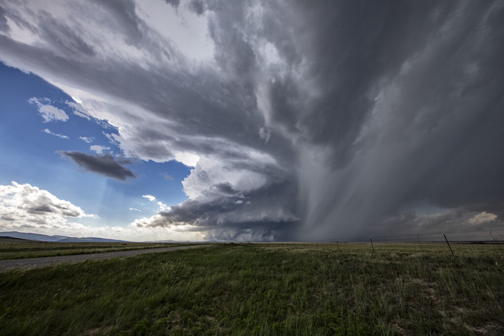
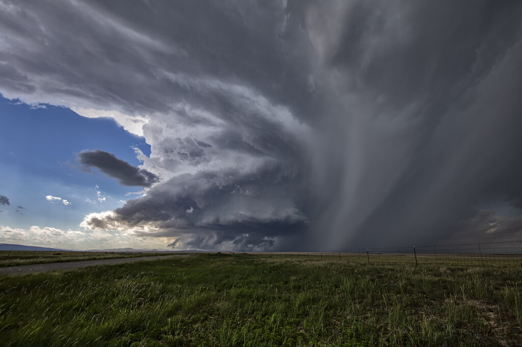
July 15th had a lot going for it. Strong northwest flow aloft would generate good shear with surface southeast winds. High dewpoints in the 60s at high elevations, would also generate a lot of instability. The upslope flow helped develop a well structured supercell near Wagon Mound, New Mexico. This storm was well structured and also produced huge hail baseball sized. The low levels never could tighten up enough to produce a tornado, however the supercell spun southward toward I-40 near Cuervo. It was severe warned for over 4 hours as it moved towards the south. Eventually we let it go as numerous storms blew up around it and thus reduced its ability to continue to maintain its strength. Fun chase over the plains and canyons of northeast New Mexico and fortunately to road network allowed us to continue chasing it all afternoon and early evening.


July 13th Eastern Colorado Tornado Warned Supercell

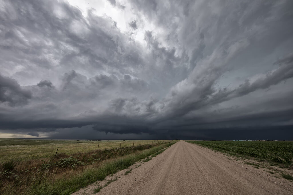
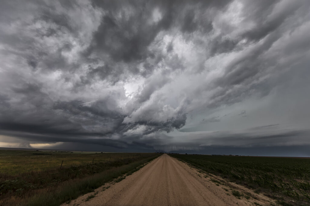
July 13th featured a play in eastern Colorado along an old outflow boundary from previous day convection. Storms formed fairly early, by 1pm along this boundary. It didn’t take long for them to become well organized and severe warned. One cell developed an impressive hook on radar and spun strongly. It produced a couple of funnel clouds, but nothing that touched down. Structure was nice, but storms became HP in nature as they moved almost due south in northwesterly flow aloft. Another cell formed southwest of the first and became tornado warned. We blasted towards it since our storm was weakening due to ingesting outflow air from the new storm. As we arrived on the new cell, it was quite messy and never looked like it would produce anything. We stayed with it for a couple more hours until numerous storms exploded between LaJunta and Lamar, CO.  At that point, we called it a day and dropped south to our hotel in the Oklahoma panhandle. A fun day and our first supercell came very close to producing a tornado! Enjoy the pics!