
June 28th Iowa Tornadoes
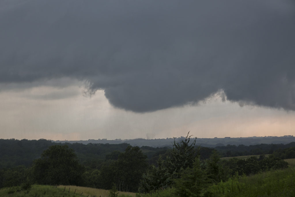
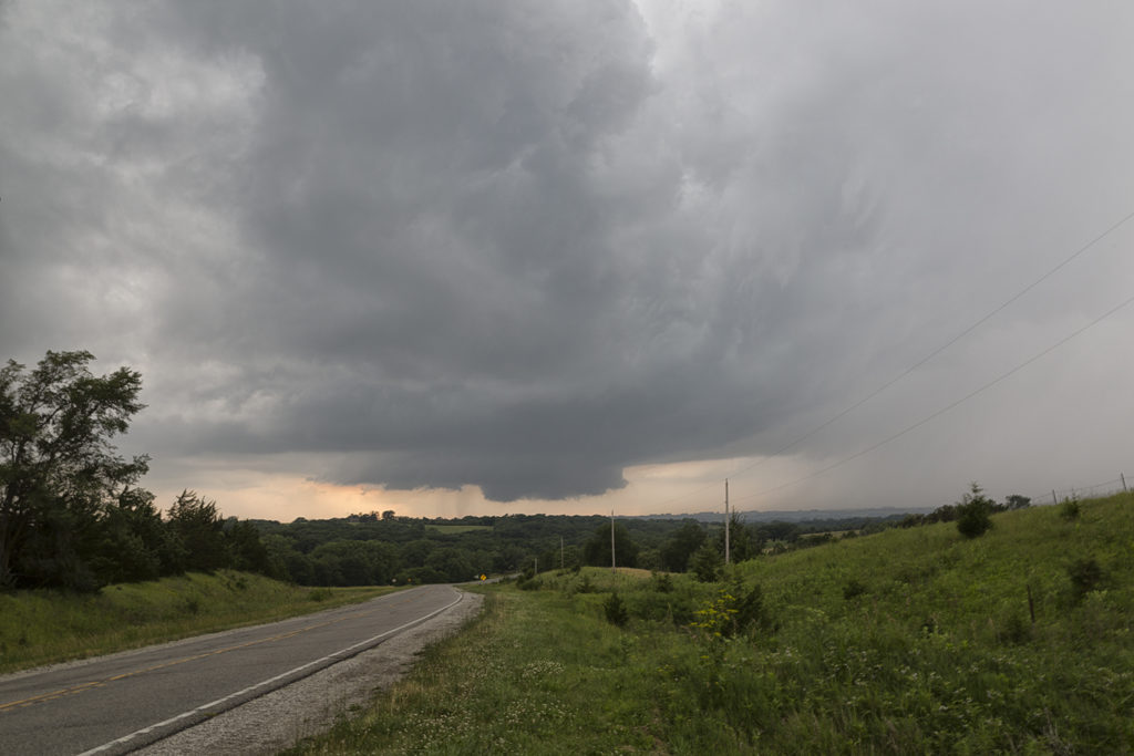
June 28th held good promise for supercell storms and potentially tornadic ones to boot. Great moisture, instability and wind shear were forecast across southwest through northeast Iowa. A composite warm front/outflow boundary existed along that corridor and would be to focal point for several tornadic supercells. We were in the Des Moines area and drifted southwest towards Winterset. Soon a cluster of updrafts rapidly formed at the triple point south of Nebraska City, Nebraska. One dominant storm emerged from them. As we blasted west, then south towards Bedford, Iowa (our target!) a tornadic storm developed southwest of Corning, or about 25 miles north of the Bedford target. Since this storm was insanely electrified, had a large wall cloud and great structure, we couldn’t leave it to drop to Bedford for the approaching tornadic storm west of town. It became tornado warned, like the Bedford storm did as well. We stayed with it and watched several tornadoes form and the storm cycle numerous times. We thought it would produce a significant tornado a few times. Most were short lived and sometimes hard to view. Still, a very successful day, 4 tornadoes later, and a pretty supercell. There were over a dozen tornadoes in Iowa this day and a couple were very pretty. Late June and July in Iowa can sometimes be magical!
No comments yet.