
July 11th North Dakota and Minnesota Tornadic Supercell
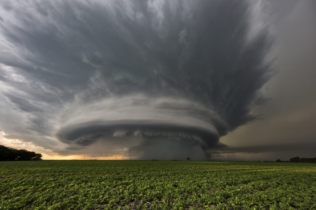
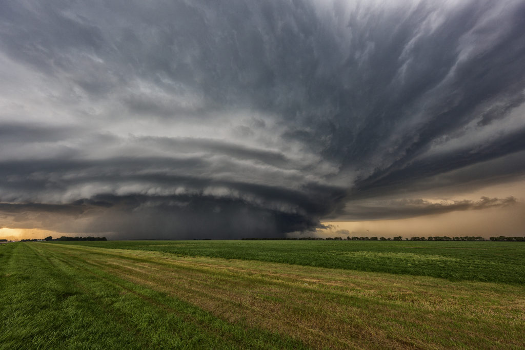
July 11th took as to eastern North Dakota. An advancing dryline, strong moisture return and extreme instability would set the stage for numerous supercells, some tornadic. We started the day just west of Grand Forks, ND as convergence caused cumulus towers to explode. It didn’t take long for severe and tornado warnings to be issued! We played with the first to do so northwest of town. It had decent structure and very large hail. A large wall cloud formed and spun strongly. An occasional shear funnel would occur, but nothing imminent to touch down. Soon, a supercell formed on the southern end of the line and quickly became severe. It developed a strong area of rotation and a hook on radar. we quickly dropped south to intercept the storm, driving through blinding rain and hail golfball sized. As we cleared the core, a large circular updraft came into view and it was obvious it was spinning strongly. A mulitvortex tornado occurred back in the core that we couldn’t see. It stayed on the ground for over 20 miles as it approached the Minnesota border.
We stayed with the storm all the way to northeast of Fargo is the structure was jaw dropping! At one point, the rain cleared enough to get a brief glimpse of the large tornado! (pic below) Eventually it weakened as upshear convection would form and interfere with the supercell. The lightning was extreme, intense and very close numerous times. Several times we had to get back into the vans for our safety and to keep our guests safe. Finally near sunset, we let the storm cluster go and headed west for what would be several days of chasing in Canada!
No comments yet.