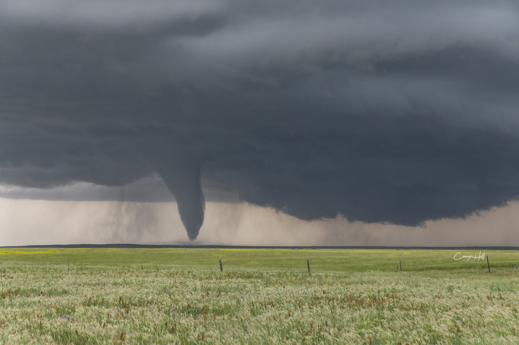
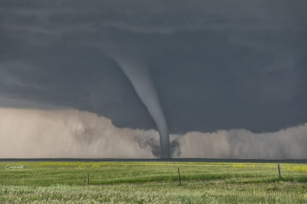
June 28th Southeast Montana/Northwest South Dakota Tornado Outbreak
An incredible day! The most significant tornado outbreak of 2018 to date occurred from one supercell this day! Southeast Montana and northwest South Dakota was the scene for this cyclic tornadic supercell that produced at least 8 and possibly more tornadoes in that area. The highest CAPE values I’ve seen in this area in 33 years of chasing occurred with 8000 joules of CAPE! Strong shear as well as mid 70s dewpoints, and throw in an awesome Black Hills Convergence Zone boundary and it would be only a matter of time before this supercell formed and morphed into the best storm of 2018! By mid afternoon several cells fired along the boundary and drifted north. All but one cell continued on this trek, with the one lone cell quickly becoming a supercell, which right turned along the boundary and turned into a beast! The structure was top notch and the tornado event that unfolded was incredible. Tornadoes of every shape, size and strength would form from late afternoon through sunset as the cell continued its slow march into northwest South Dakota. At one point we even had an anticyclonic tornado that developed on the south side of the updraft and raced directly towards us. Caryn would see it and take evasive action quickly as it passed in front of us. Then a large half mile wide wedge formed directly in front of us and roared across the countryside getting an EF3 rating! An amazing sight to behold!!! The storm continued into northwest South Dakota south of Camp Crook and continued producing tornadoes in the dark. Lightning would illuminate them making for some of the most spectacular storm photography this season! Please enjoy the pics!


No comments yet.