Tag Archives | storm chaser

June 7th Ansley, Nebraska Tornado Warned Supercell

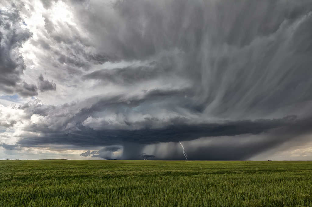
June 7th featured good moisture and instability, as well as moderate shear. A boundary lay across central Nebraska and would be the focus for several supercells The storm we chose to chase formed early afternoon near Thedford, and intensified as it moved southeast. By the time it got close to Broken Bow, it was well structured, producing baseball sized hail and a possible tornado. We followed it through town and southeast as the structure truly became insane! As it approached Ansley, it became tornado warned, but did not produce I feel low level shear from cloud base down was insufficient to produce tornadoes. Nonetheless, the structure was quite nice as it moved all the way to I-80 by mid evening. Enjoy the pics!!!


June 7th Northeast Colorado Tornado Warned Supercells

June 7th took us to the north side of the Cheyenne Ridge, playing the upslope there with moderate shear, decent moisture and instability. Several storms formed, with a couple becoming supercells and even tornado warned. It is amazing what some chasers call a tornado (landspout) when it occurred in a part of a thunderstorm that landspouts wouldn’t even form in! Stay tuned to a narrative we will publish explaining how and where a landspout would form.

These storms moved southeast into northeast Colorado and became quite intense, producing very high winds and baseball sized hail. The continued moving southeast eventually into northwest Kansas and were continuously tornado warned or severe warned. Structure was very nice as they marched into central Kansas overnight. A fun day for the tours with plenty of excitement with the storms as we moved in very close to where rotation was, but no tornadoes were confirmed. Check out the images below!

June 28th Southeast Montana/Northwest South Dakota Tornado Outbreak

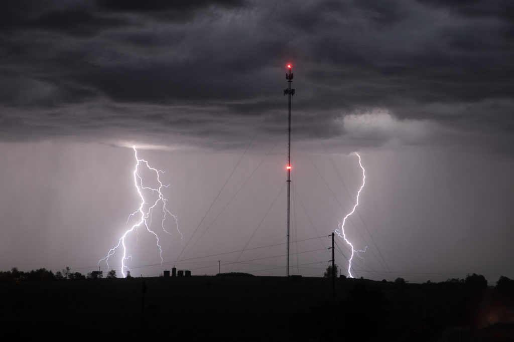
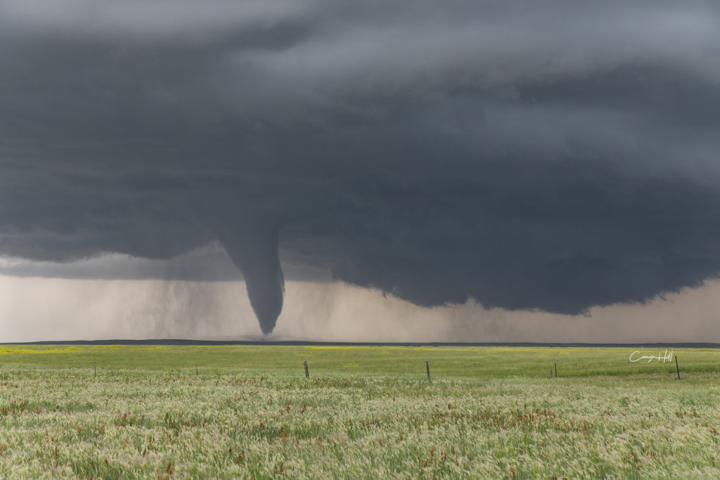
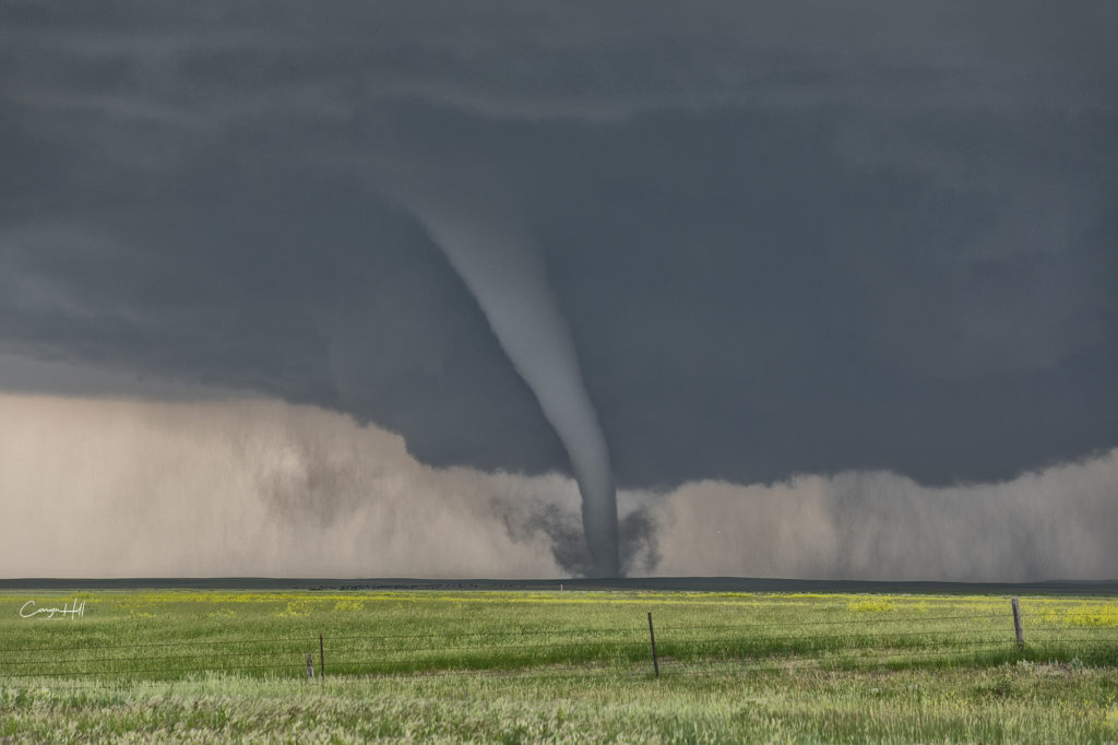
An incredible day! The most significant tornado outbreak of 2018 to date occurred from one supercell this day! Southeast Montana and northwest South Dakota was the scene for this cyclic tornadic supercell that produced at least 8 and possibly more tornadoes in that area. The highest CAPE values I’ve seen in this area in 33 years of chasing occurred with 8000 joules of CAPE! Strong shear as well as mid 70s dewpoints, and throw in an awesome Black Hills Convergence Zone boundary and it would be only a matter of time before this supercell formed and morphed into the best storm of 2018! By mid afternoon several cells fired along the boundary and drifted north. All but one cell continued on this trek, with the one lone cell quickly becoming a supercell, which right turned along the boundary and turned into a beast! The structure was top notch and the tornado event that unfolded was incredible. Tornadoes of every shape, size and strength would form from late afternoon through sunset as the cell continued its slow march into northwest South Dakota. At one point we even had an anticyclonic tornado that developed on the south side of the updraft and raced directly towards us. Caryn would see it and take evasive action quickly as it passed in front of us. Then a large half mile wide wedge formed directly in front of us and roared across the countryside getting an EF3 rating! An amazing sight to behold!!! The storm continued into northwest South Dakota south of Camp Crook and continued producing tornadoes in the dark. Lightning would illuminate them making for some of the most spectacular storm photography this season! Please enjoy the pics!