
July 9th Northeast Montana Tornadic Supercell
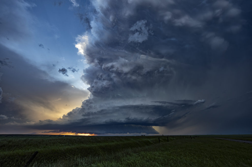
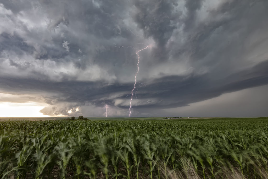
July 9th had big potential. It wasn’t clear whether that would be across the international border into Canada or if storms would right turn along a warm front into northeast Montana and northwest North Dakota. Fortunately, for ease of chasing, storms crossed into the US and gave us quite a show! An intense supercell cycled and really ramped up as it crossed north of Plentywood, Montana. Due to high CAPE, strong deep layer shear, dew points in the lower 70s and the aforementioned warm front, the stage was set! This supercell became a monster, the storm of the day, as it rolled through Plentywood, MT and into far northwest North Dakota. Huge hail to baseball size, microburst winds of nearly 120 mph and an EF1 tornado that hit Plentywood, would be the highlight this day. A second supercell soon followed the path of the first and had just amazing structure as it rolled through Plentywood. Highways ended up being blocked due to debris from downed trees, power lines and houses through town. Fortunately there were no fatalities. Check out the photos below. Enjoy!!!
No comments yet.