


May 18th Northern Kansas Tornadic Supercells
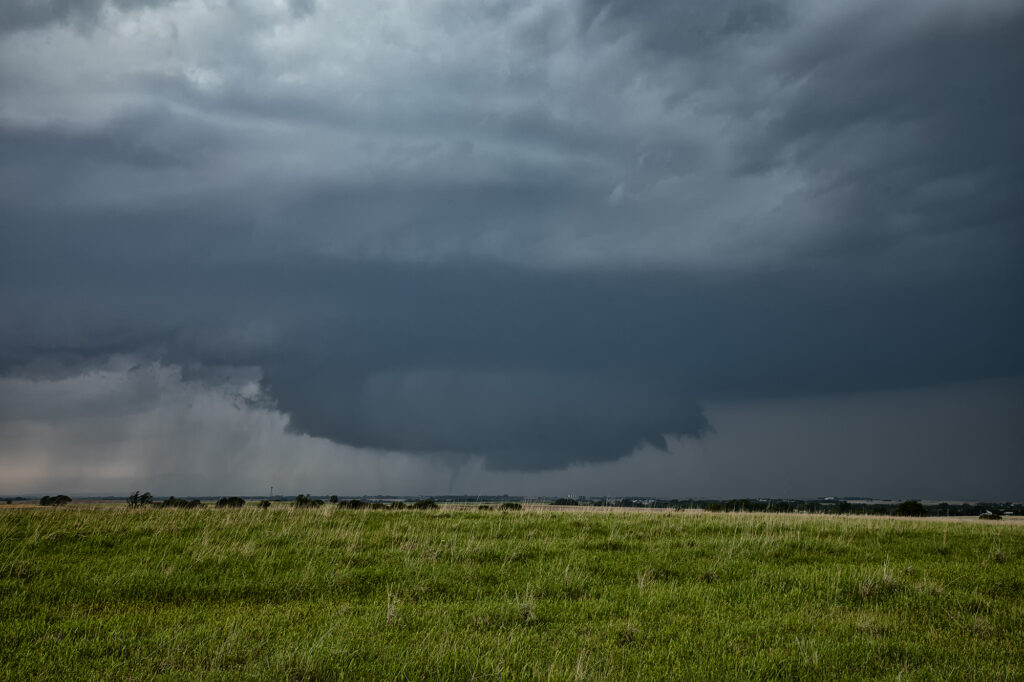
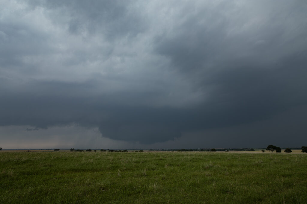
May 18th was a good set up in Kansas. An outflow boundary laid across north of I-70 and a dryline stretched north/south along US highway 81. A significant supercell formed north of Salina and moved northeast, producing at least a couple brief tornadoes. Other supercells formed along the triple point and also became tornado warned. We chased SEVEN different supercells that had tornado warnings. The biggest problem this day wasn’t just the fact there was a lot of seeding going on, it was the shear number of chasers that were in the area. Sooner or later there will come a day when a large tornado hits a line of chasers and causes a lot of problems. Sometimes, it pays to stay back a bit and let the chaser hoards get close. But, great shear an 70 dewpoints certainly allowed for numerous tornado warned supercells to form. A few weak tornadoes did occur, and a few look a likes also that were reported as tornadoes, and were not. Enjoy the pics please!!
No comments yet.