
May 18th Northern Kansas Supercell
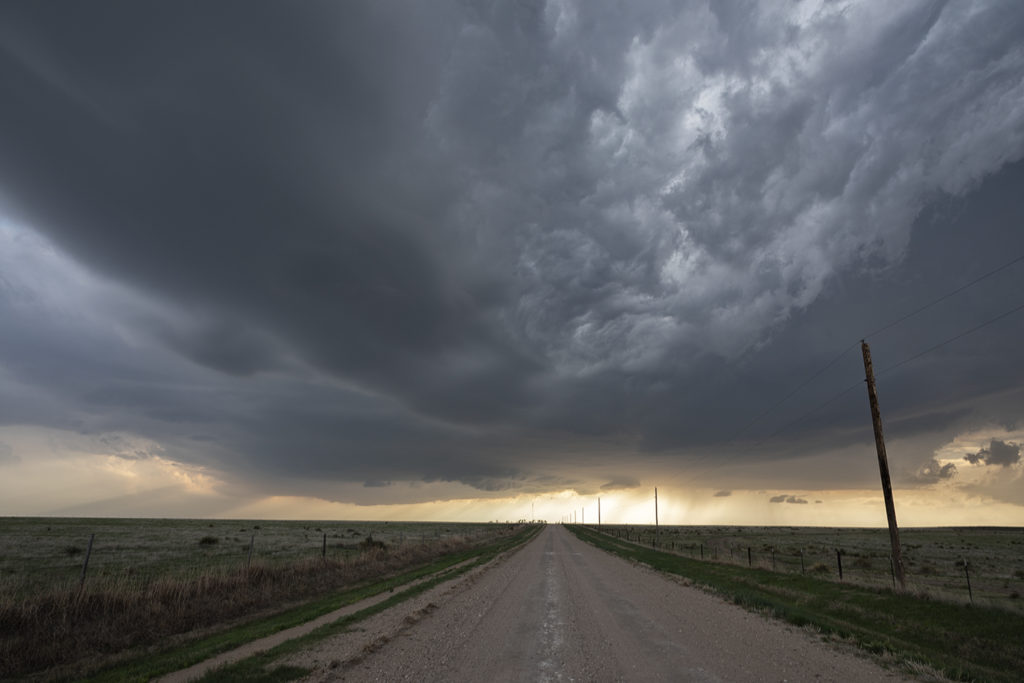
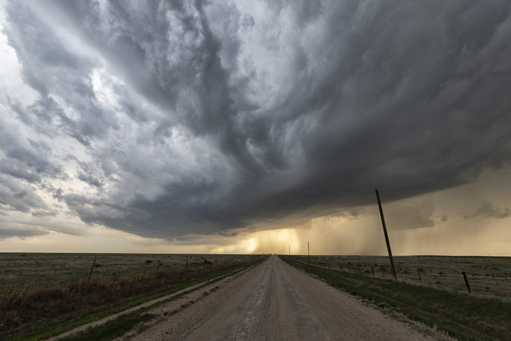
A complex, but decent set up occurred on May 18th. A dry line, warm front and cold front would be big players this day, but the question was which would produce the best storms. The dryline fired up early and often producing numerous storms with huge hail. The cold front fired up in Colorado with clusters of storms moving into western Kansas. But it would be the warm front in northern Kansas that would produce the longest lived supercells, nearly anchored along it. Unfortunately, none would produce significant tornadoes, but a couple would produce hail baseball sized and as well as one landspout tornado. We chased a cell south of Oakley that would have pretty structure, tons of lightning and even a cone funnel that would could not determine if it touched down or not due to the angle it was from us. I fun and exciting day ended with a fantastic lightning show in Garden City, Kansas.
No comments yet.