
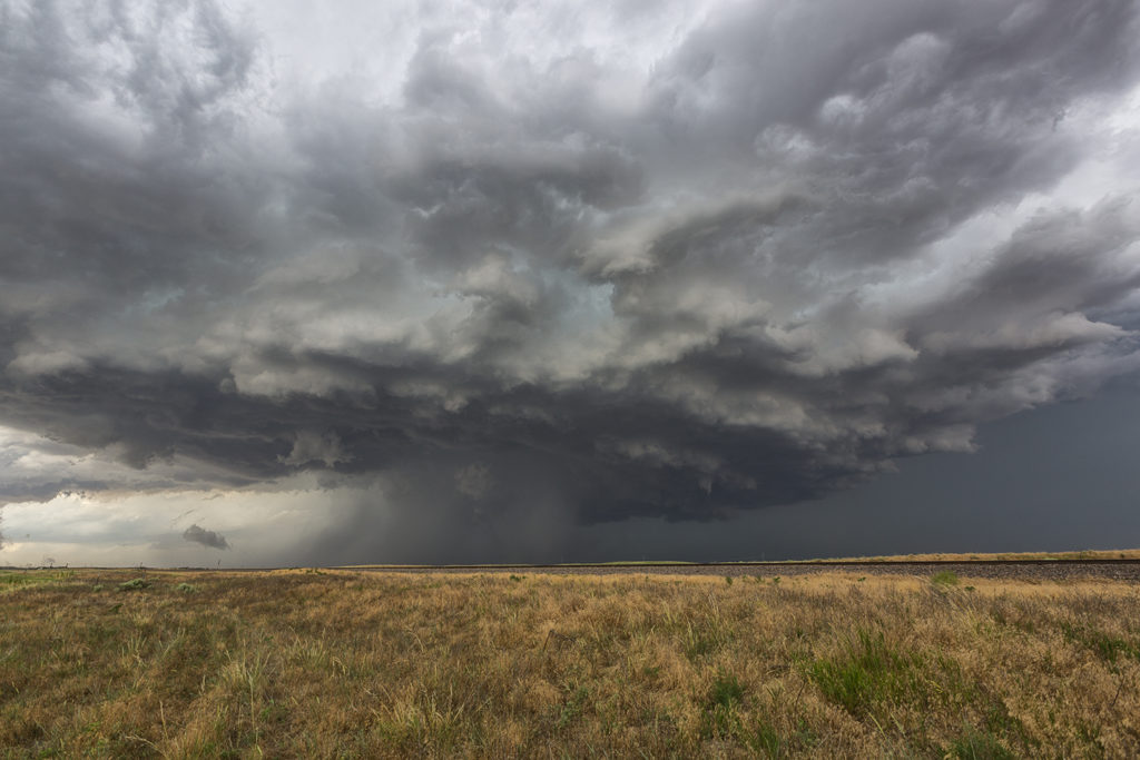
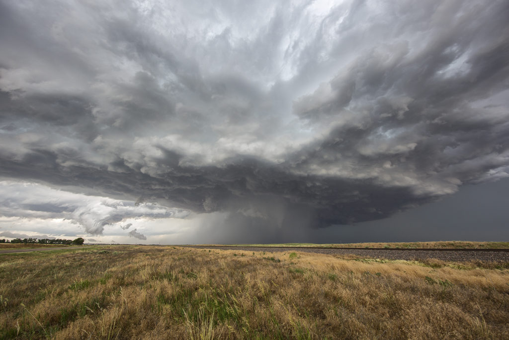
June 27th Southwest Nebraska/Northeast Colorado Tornado Warned Supercells
The first day of the Reunion tour provided a decent high plains set up. Upslope flow into western Nebraska would push 60 dewpoints along a boundary as moderate westerly mid level winds would help generate enough wind shear for supercells. Two such storms formed along the northwest/southeast oriented boundary and would produce giant hail to softball size. Both supercells were tornado warned with the second storm producing a confirmed tornado near Eckley, Colorado. Structure was decent as well. We came back through the area the next day to find thousands of acres of cropland shredded to the ground, mostly corn. Sometimes hailstorms can produce more significant damage than a tornado can. This was the case with these storms.
No comments yet.