
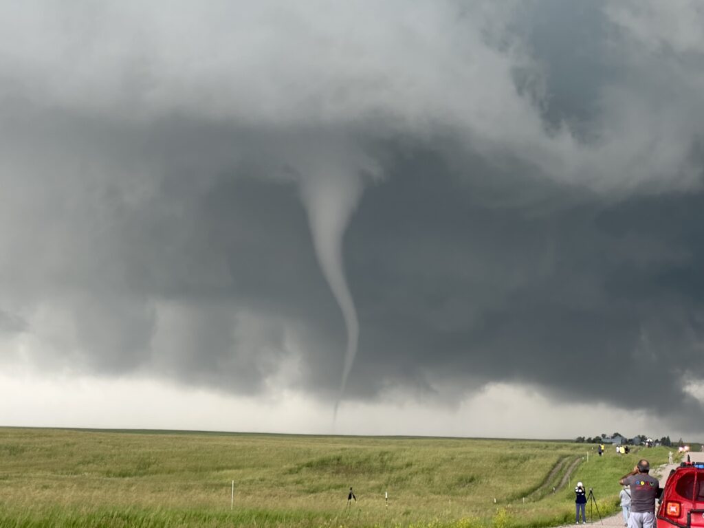
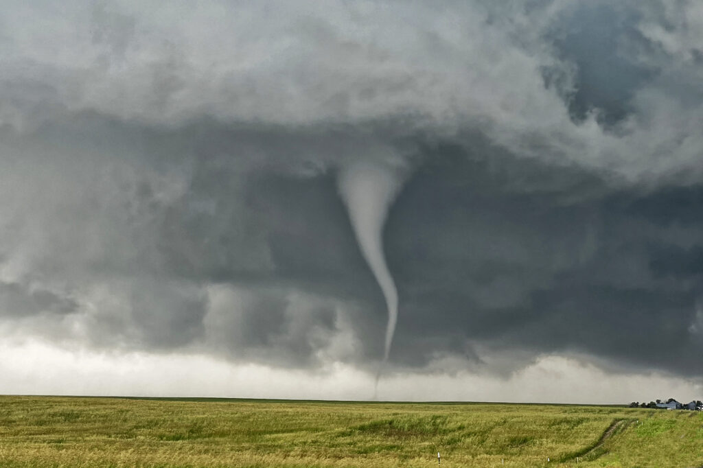
June 23rd Chugwater, WY to Scottsbluff, NE Tornadofest
June 23rd had significant potential in southeast Wyoming as well as southeast Colorado. We chose to play the Wyoming target instead of Colorado. And both produced tornadoes!!! When you get upslope flow into the Laramie Range in southeast Wyoming with decent moisture and instability, you chase there, plain and simple. Good shear and lift into the mountains were also present and by midafternoon storms erupted west of Chugwater. It took a bit for storms to become organized, but one such supercell over the town of Chugwater became the primary supercell this day. It spun east all the way past Scottsbluff, NE and produced at least a half dozen tornadoes, a few of which we were close to and became pretty photogenic! A Tornado Emergency was issued for one large tornado near town and fortunately did not cause any serious injuries or fatalities. Storm structure was pretty as well and the supercell also produced softball sized hail at various locations in the lifetime. A great chase day and fortunately the results were good for the local residents. Enjoy the pics!
No comments yet.