


June 22, 2026 Northeast Colorado Tornado Warned Supercell
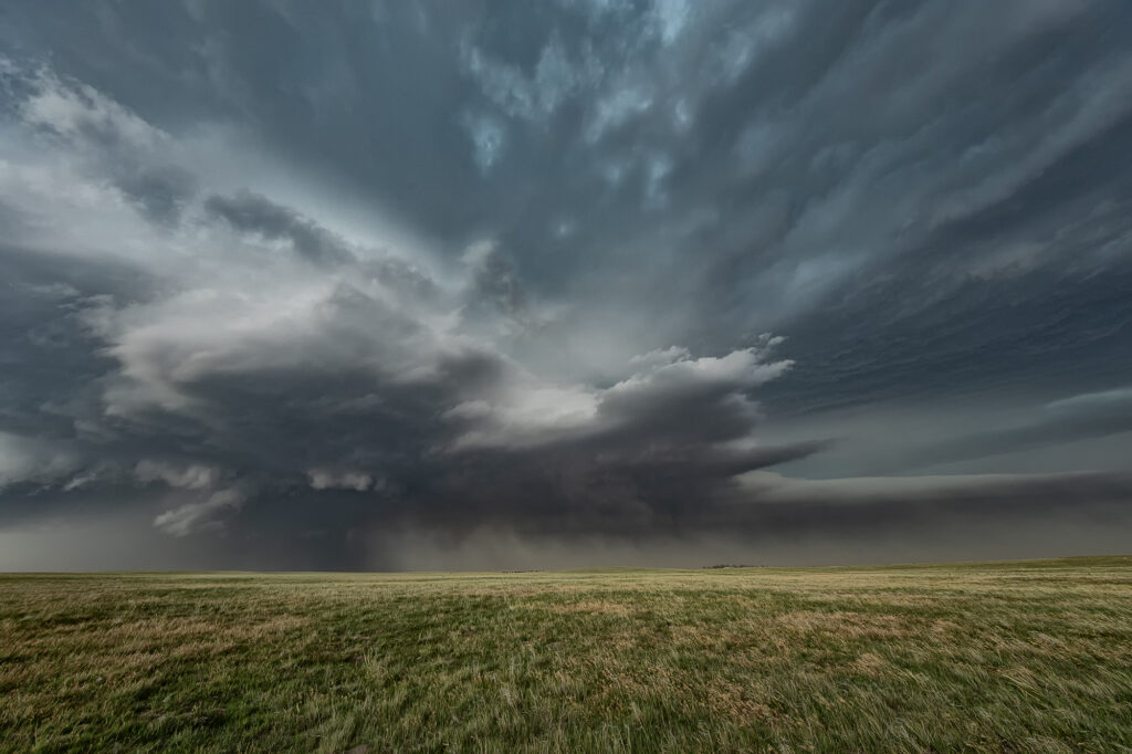
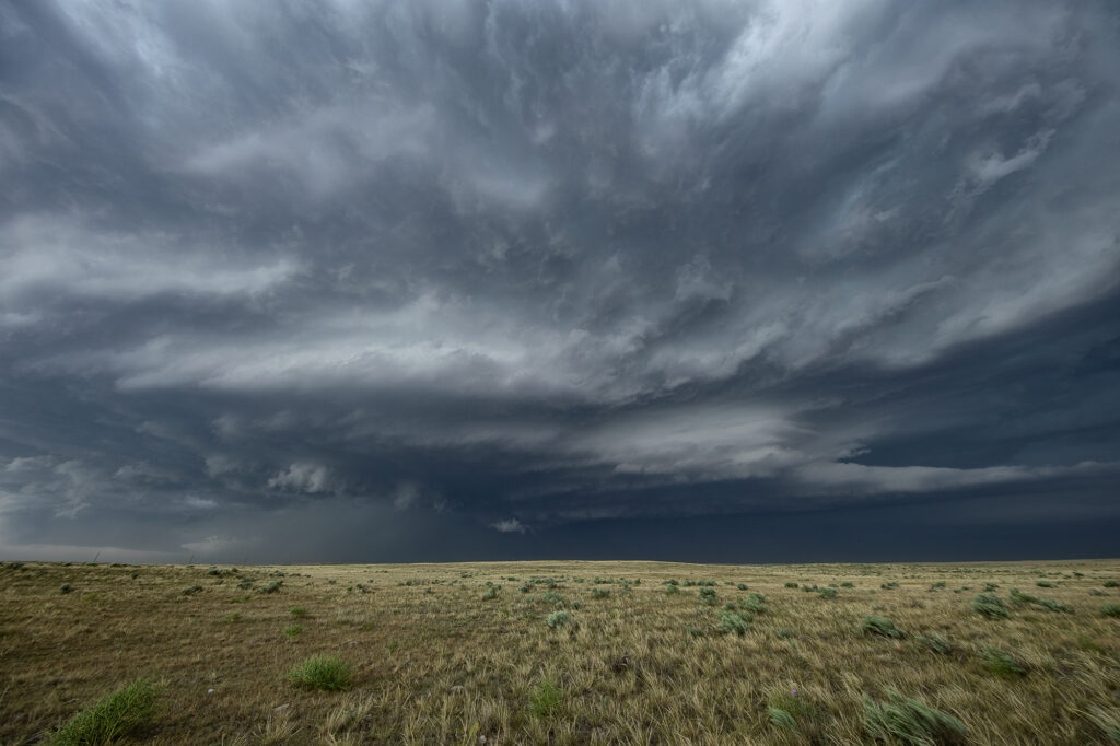
June 22nd took us to the Cheyenne Ridge along the Colorado/Nebraska border near Kimball. Storms formed on a convergence boundary there and immediately started spinning and became severe. One storm became dominant and an intense supercell. It was tornado warned off and on its entire life cycle, which lasted nearly 6 hours! The amount of air this supercell processed was astonishing, as inflow was being drawn in at 50-60mph! Blinding dirt occurred as it was lofted in the air due to dry soil conditions and into the updraft. Several times lowerings formed and spun hard, but nothing was able to focus long enough to produce a tornado. Giant hail softball to grapefruit sized fell as the storm maintained a steady state of intensity throughout the afternoon and evening. At times it became very photogenic as the updraft contained multiple striations showing rapid rotation and had the appearance of a huge soda can. One of the strongest supercells in Colorado in the past few years! Enjoy the pics!
No comments yet.