
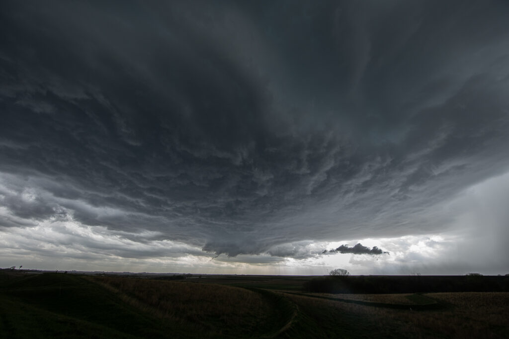
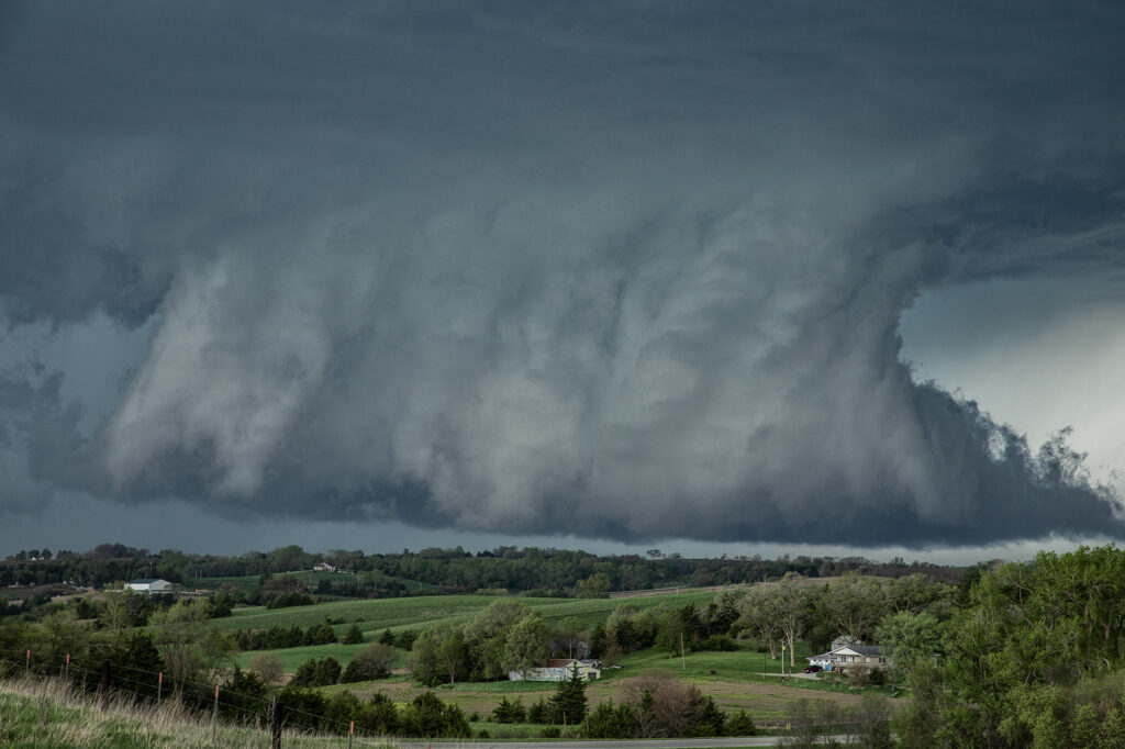
April 30th Red Oak, Iowa Tornado Warned Supercell
April 30th provided a fast moving, but strong upper level system across the central states. Moisture was sparse, but racing north of southerly low let jet winds. We knew it would be close to get enough good moisture to allow cloud bases to be low enough to produce tornadoes in Iowa. By mid afternoon clusters of storms for in southeast Nebraska. One such storm intensified as it moved into southwest Iowa. It became severe as it moved further east and eventually became tornado warned. On radar it looked like a classic tornadic supercell, but in real life, it’s base was just a tad too high to produce tornadoes. It was a prolific hailer and had nice structure. At one point it had a very large wall cloud that had the look. However, it could never maintain tightened rotation, only broad slow motion. A pretty storm, but just couldn’t produce any tornadoes. A fun day nonetheless!
No comments yet.