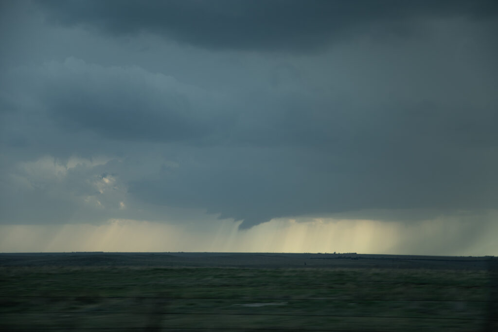
May 1st North Central Kansas Tornadic Supercell
May 1st showed plenty of opportunity for severe storms, however the best tornado threat was in 2 different area, the Texas panhandle, and north central Kansas. Since we couldn’t make it to Texas in time, we chose the northern target. Moisture was limited and it was going to be close to get moisture this far north before storm initiation occurred. Storms formed rapidly later afternoon and intensified during the evening. 2 supercells emerged with the tail end storm eventually becoming the dominant cell. As it moved across north central Kansas in the evening it continued to intensify. It stayed along and just on the cool side of an old outflow boundary south of Interstate 70. Inflow was quite strong, and lighting frequent. At sunset, it ramped up in intensity and produced a couple of brief tornadoes under the front edge of the updraft as RFD surged around from the south side. Both tornadoes were weak and lasted only 2-4 minutes each. We eventually let is go as it continued to move north of the boundary since we had to be in Texas the next day. A fun day, with decent results, but had the supercell attached to the boundary it could have been quite a bit more tornadic. Enjoy the photos!


No comments yet.