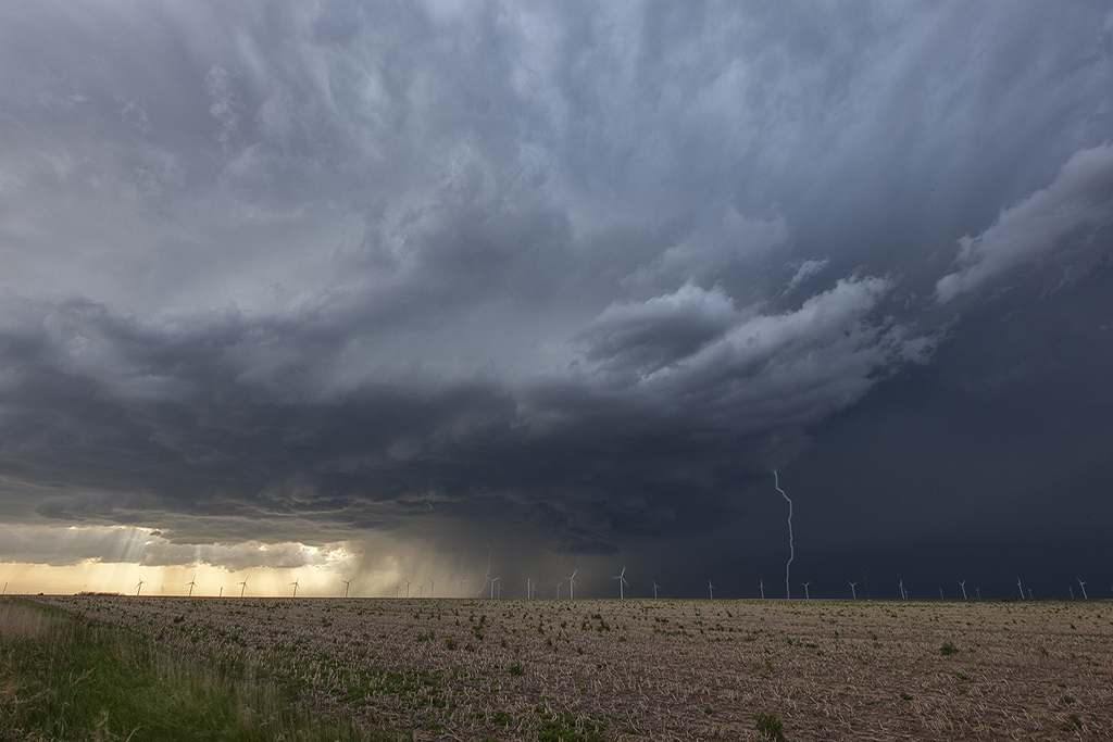
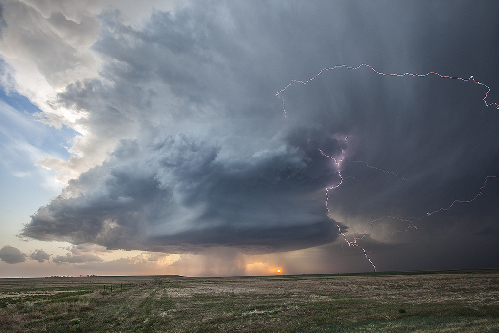
May 20, 2014 – Eastern Colorado Tornado Warned Supercell
May 20th was the first of two good Colorado severe weather days. This day featured returning moisture, albeit not optimal, strong shear and good upslope flow to generate storms. A few high based storms formed off the Palmer Divide by mid afternoon and the southern most storm intensified later, becoming the storm of the day! This supercell tracked all the way into western Kansas giving us quite a show with fantastic structure, a couple funnels, huge hail to tennisball size and a lot of lightning. At dusk one of the prettiest structured storms, lit up by lightning, became tornado warned near the town of Burlington, CO. It truly was a sight to behold!


No comments yet.