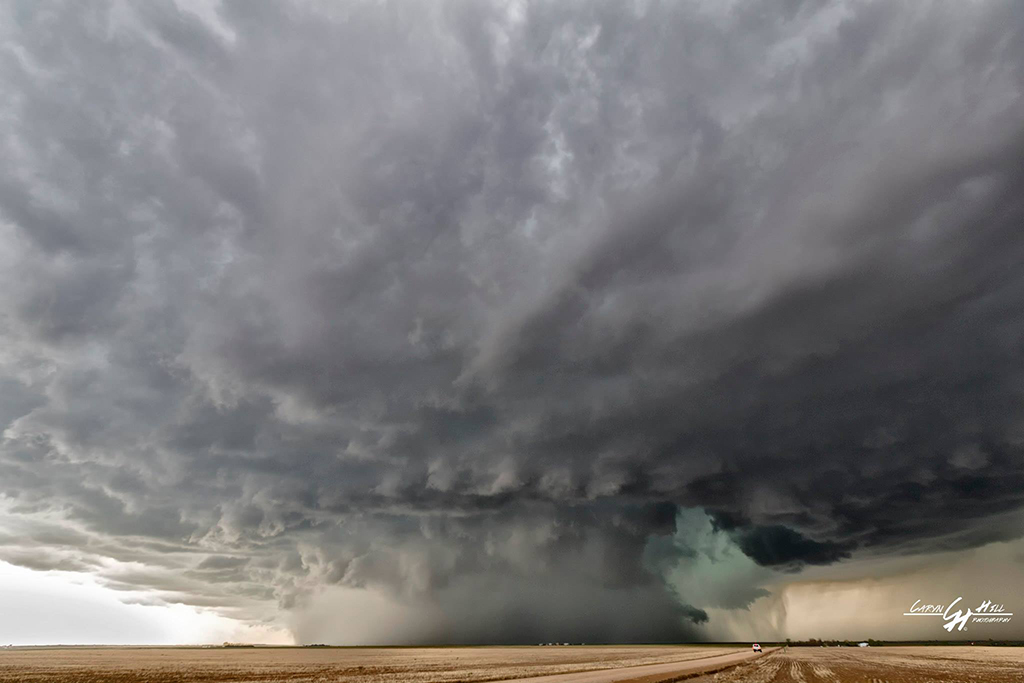
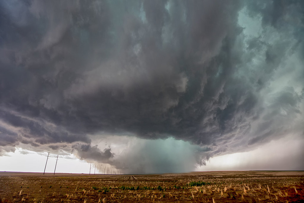
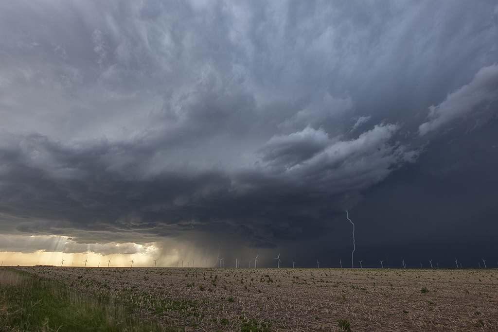
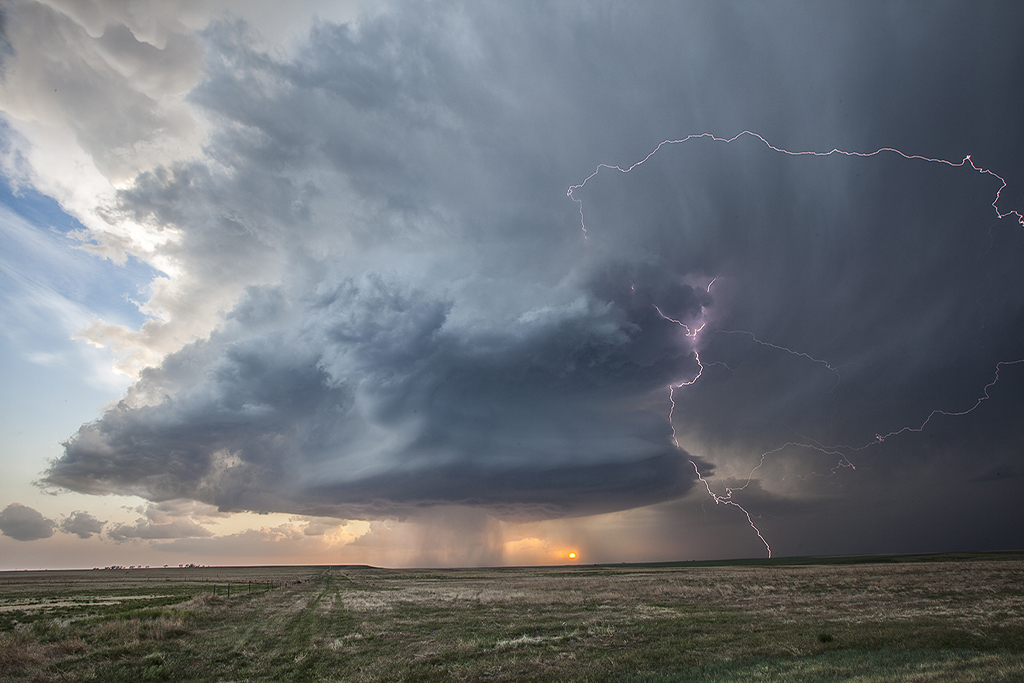
The second of two super days in eastern Colorado! May 21st had much better moisture and shear than the day before did, while the Storm Prediction Center issued a tornado watch and warned of potential strong tornadoes in the area. We started the day home, a rarity for us, and didn’t have to go far. By early afternoon a cluster of storms formed over Denver, with the easternmost storm intercepting the best parcel of air and becoming a significant supercell. Just to the east of DIA, we sat looking down the notch of this beast as it spun wildly. It produced a couple funnels and what we are sure was a partially rain wrapped tornado that was only visible from the northeast looking southwest. Several other chasers saw what we did and there was a period of a few minutes where multiple vortices were spinning on the ground! We stayed with the storm as it cycled and moved eastward into more stable air. It slowly weakened at that point, never being what it was initially. A fun chase day, close to home and the tour was able to stay in the same HAIL BEATEN hotel that night. Piles of hail a couple feet deep were all around!