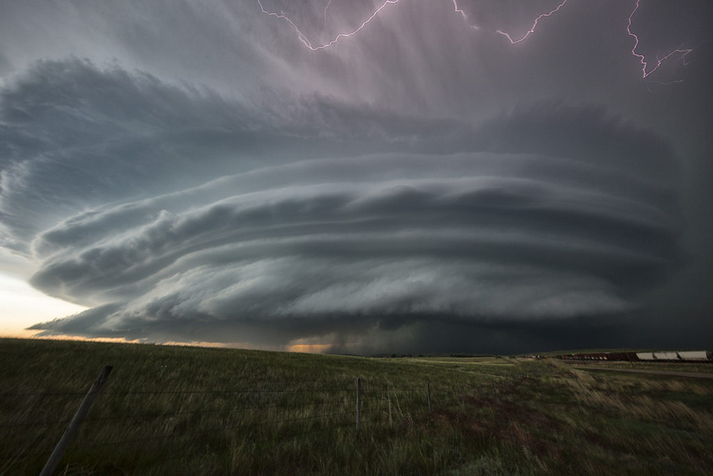
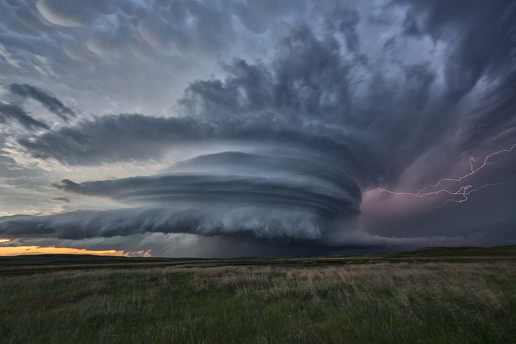
June 12th Wyoming and Nebraska Tornadic Supercells
June 12th had the potential to be a record breaking event for eastern Wyoming, as well as the Nebraska panhandle. At the end of the day numerous tornadoes formed across the landscape! Very high moisture, extreme CAPE, very strong wind shear and upslope into the Laramie Range would cause several supercells to form. We chased the first supercell of the day, which produced a couple of tornadoes near Lingle, Wyoming. This storm was tornado warned for many hours as it moved northeast across eastern Wyoming and western Nebraska.
Later we would drop south towards Scottsbluff, Nebraska and catch a tornadic storm that came out of Colorado (See the next chase account from SLT co-owner Caryn Hill!!!!!). We witnessed 3 tornadoes from this storm. Later in it’s life cycle, it would become one of the most photogenic supercells of 2017 as it rolled across the Nebraska Sand Hills headed for southern South Dakota where it dissipated after midnight. For an event to be this strong, this far west, it was almost unprecedented. SPC even had a Moderate Risk for eastern Wyoming, only the second one in history! They were also forecasting strong tornadoes, which did occur. Hail and lightning in these monster supercells were incredible as well! Enjoy the photos!!!!


No comments yet.