
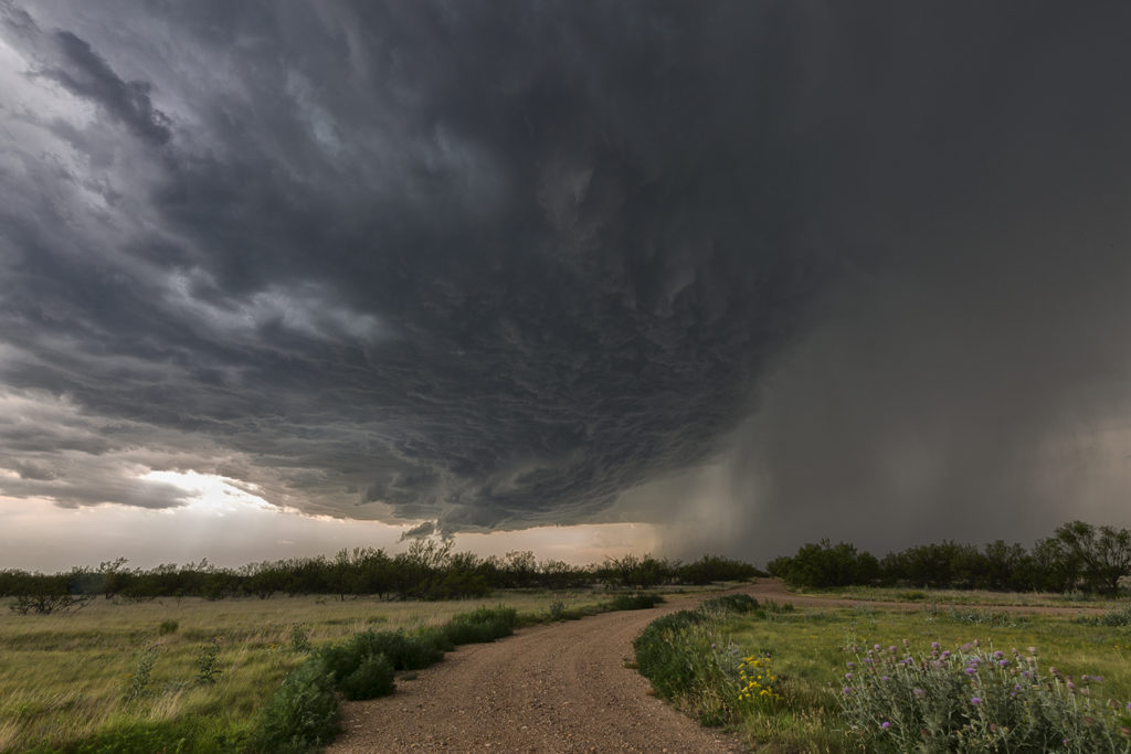
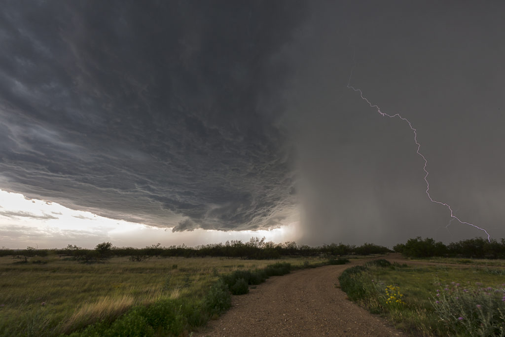
June 8th Texas Panhandle Supercell
June 8th on paper didn’t look that great. Limited moisture would be the biggest factor in getting tornadic storms. However, decent shear, CAPE, and a sharp dryline would provide the necessary ingredients to sustain severe storms. By mid afternoon a couple of storms formed on the dryline near Dumas. They quickly went severe due to very steep lapse rates which enhanced hail size. It took awhile for the tail end storm to take over the show, but it did, and it gave us quite the view from our position. The storm spun hard and produced copious amounts of hail to baseball size. It also produced a couple of funnels that never had the appearance of touching down. For several hours the supercell persisted while slowly drifting south. Well south of Amarillo it eventually dissipated in the night sky after a gorgeous sunset. It was a treat to watch this storm for hours!
No comments yet.