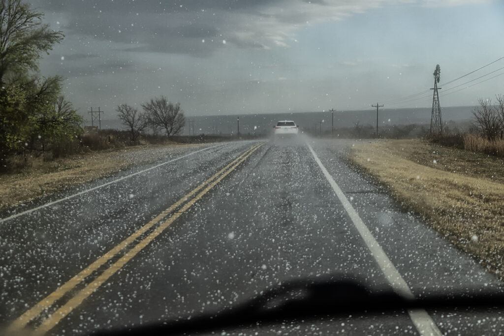
A triple point surface low over northwest Kansas would provide the convergence needed to fire off supercell thunderstorms this day. One storm formed northwest of Goodland and meandered east/southeast becoming a prolific hailstorm. Lack of real quality moisture would prevent tornadoes from occurring, however, as a left split from a storm over Rush county raced north, it collided with our storm and caused it to spin. A tornado warning was issued and a wall cloud formed, also spinning. Due to the higher based nature of the storm, it did not produce a tornado. As it moved east, more storms formed as a complex eventually developed that had winds up to 90mph in it! We raced east to get ahead and were treated to a sunset beast that also tried to become tornadic. An awesome day, great storms and lightning, as well as a tornado warning. Enjoy the pics!!!
May 15, 2026 Western Iowa Tornadic Supercell
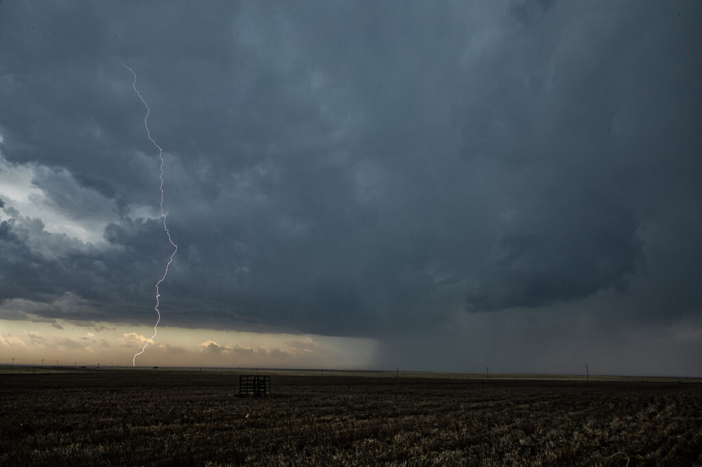
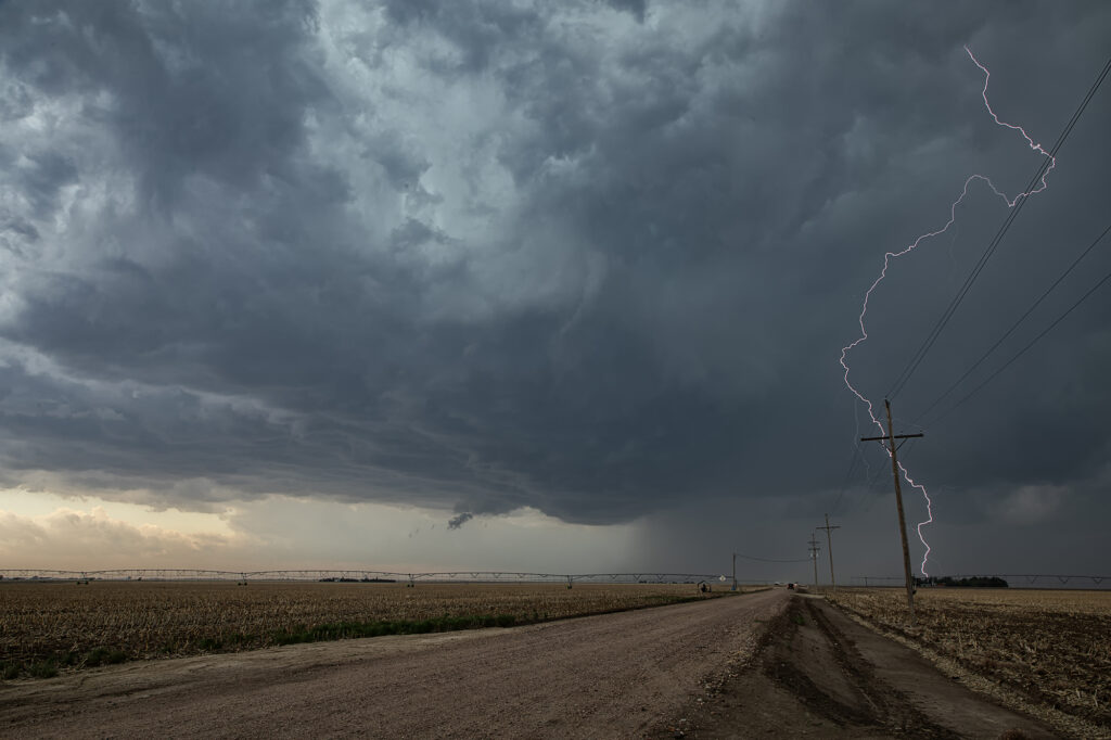
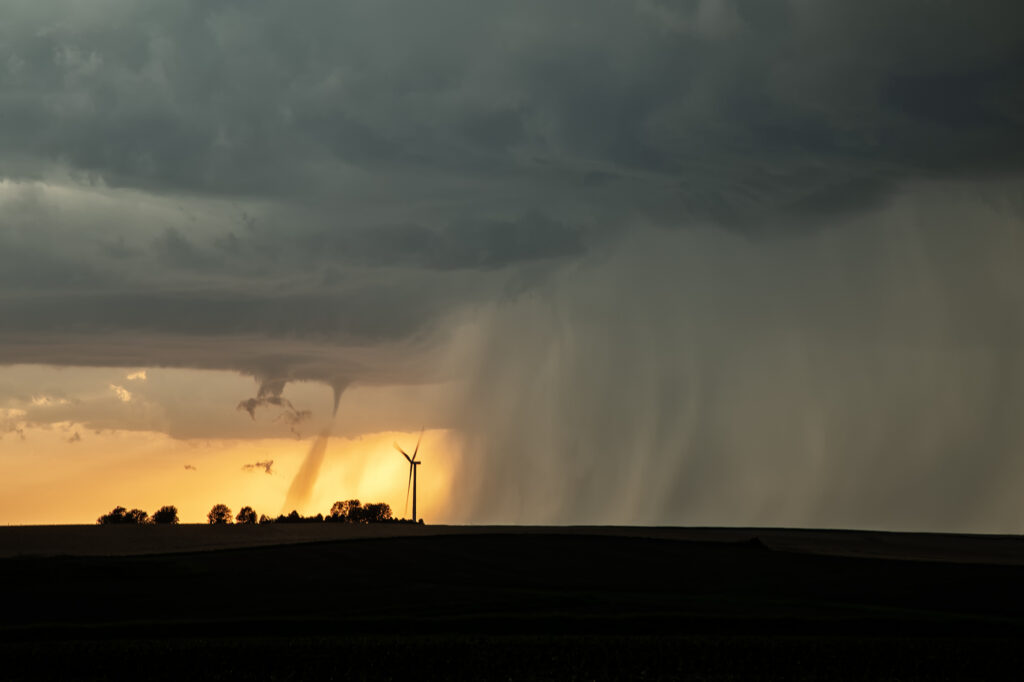
May 15th took us into Iowa. An old outflow boundary/cold front intersection would be our target in northwest Iowa. Plenty of shear, modest moisture and instability would support severe storms, with some tornado threat. We caught several storms, but one, west of Ida Grove, would produce a short-lived tornado. This storm was also an electrified beauty! Several CG strikes occurred per minute, and everyone’s cameras were clicking away! I managed to get a few decent ones as well. A fun day, tons of storms and a brief tornado to boot! Enjoy the pics!
May 9, 2026 Sayre, Oklahoma Gorgeous Supercell
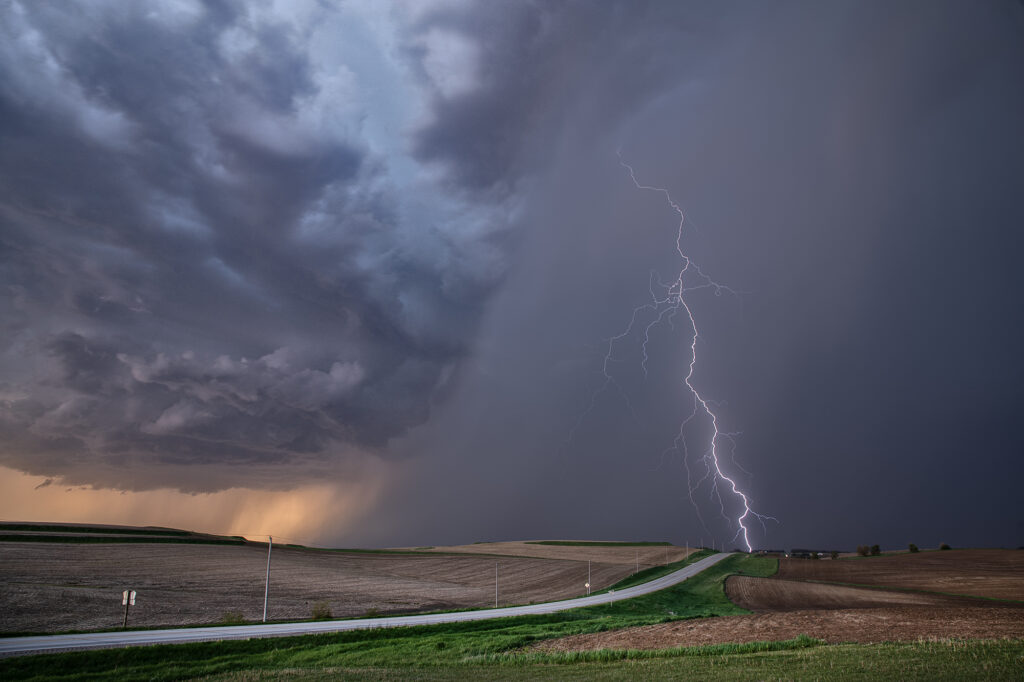
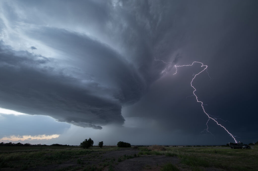
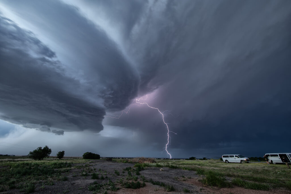
May 9th looked like a day where things just weren’t in sync. Good shear and lift were in place, but poor moisture with moderate CAPE were also in play. We targeted southwest Oklahoma where there was a bit higher moisture, however it was very thin. Storms blew up along a boundary near I-40 and became severe. They were fairly high based, but with good shear and steep lapse rates, they rained down hail to baseball size. We blasted north to catch the tail end storm as it moved into western Oklahoma. It hit the theta-e axis and rapidly strengthened. As it moved southeast towards us, structure steadily improved. We stayed with it till after sunset as it started producing copious amounts of CGs. Finally, it weakened around 10pm so we left and made it to the hotel before midnight. A great day with arguably the best structure of this young 2026 season! Enjoy the pics!!!
May 6, 2026 Garden City to Brookhaven, MS Tornadic Supercell
A crazy day for us and of course the unfortunate good folks of southern Mississippi. Spent the night in West Memphis and targeted south of Jackson, MS. After a cluster of storms formed, became severe and tornado warned, they moved northeast and weakened. We decided to play a new cluster west of Nachez in an environment that was far better than MS. Higher dews, clearer skies and stronger flow would allow the cluster to consolidate into a large rotating storm. We dropped south, south of Sibley, MS to wait for it instead of trying to get across the Mississippi river and not having a return route due to the now tornado warned storm. As it approached us, rotation was seen and the CGs were off the chart striking every 5-10 seconds!!! We soon had to quickly get out of the way as the rfd wrapped around this massive bowl shaped lowering. It raced off east of us across the trees and planted a rather large EF-3 wedge tornado. This tornado became quite strong and a TORNADO EMERGENCY was issued for towns in its path. The supercell produced multiple strong class tornadoes for the next 100 miles as it churned across the southern part of the state. We approached it one other time and could see violent wrapping rain curtains and strong downward motion, showing us the rain wrapped wedge was very close and intense. Eventually due to darkness we called off the chase and went back to Garden City, MS to see if anyone needed help. Many downed trees, power lines and much debris blocked the highway. Several of us jumped in to clear the road and get to a woman who was injured. We had to use chain saws to cut through the trees as another tornado warned storm was approaching. An absolutely insane day and I am very proud of our guides and even some of the guests in getting their hands dirty to help others! Our hearts and prayers go out to those affected by this monster!

April 26, 2026 Osage County, OK Tornadic Supercell
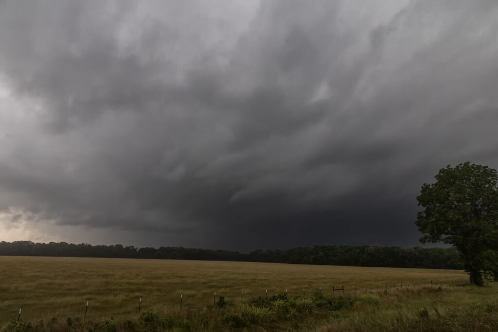
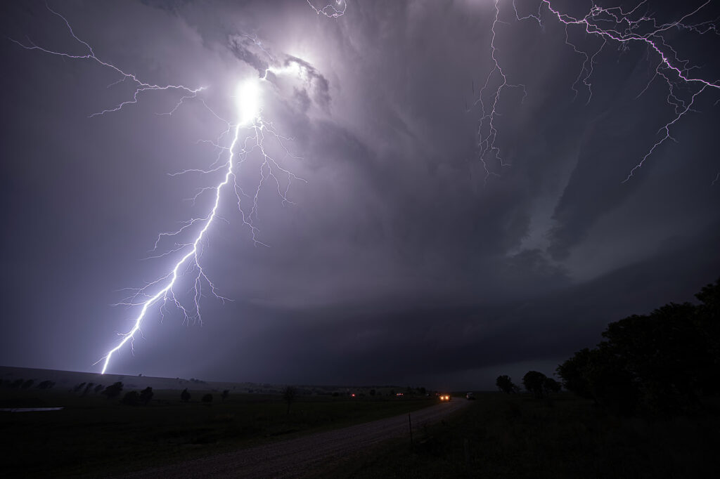
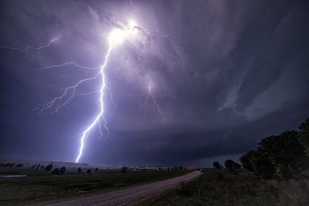
April 26, 2026 took us to Osage county, Oklahoma to chase a tornadic supercell from Foraker to Herd. Strong shear, a dryline and extreme instability would set the stage for supercells. One such storm formed near Blackwell and intensified as it moved east. It became tornado warned as it moved east towards Foraker. Due to poor, muddy roads, we had to drop south to highway 60 and east to Pawhuska, then north to get in front of it. During this 20 minute process, of course, fate would have it that it produced a tornado! However, it was on the ground for less than a minute. As the supercell approached us a broad, rotating wall cloud was evident, and multiple funnels formed over the next 30 minutes. This storm had great structure and intense cloud to ground (cg) lightning! As it approached our location, a large bowl formed under it and soon a cone funnel descended to the ground. It persisted for a few minutes. We stayed with the storm in the dark as it moved east and eventually dissipated near Bartlesville. Fun day, frustrating at times as is often the case in Osage county, but good end results! Enjoy the pics!
April 25, 2026 Southeast Oklahoma Tornadic Supercell
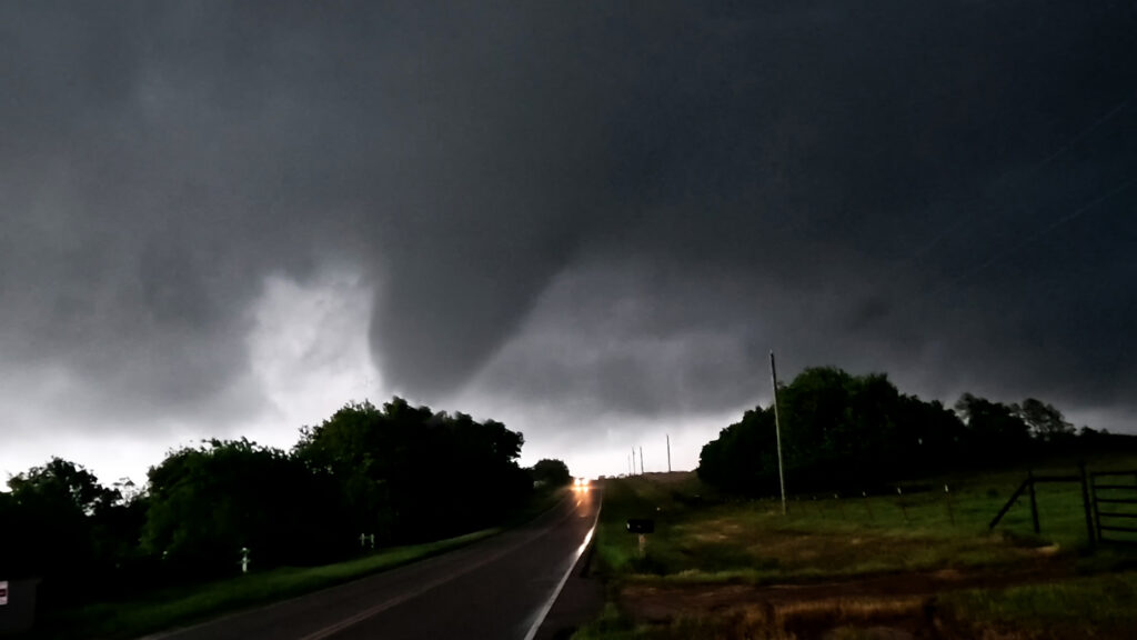
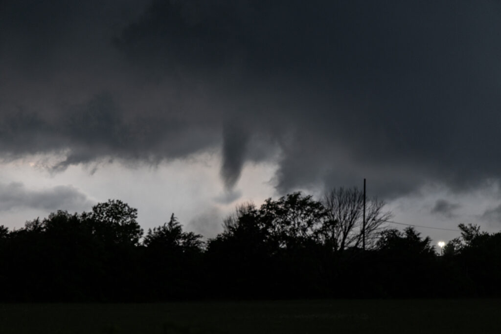
Day 1 of the Close Encounters tour kept us very close to Oklahoma City. A warm front/dryline triple point was just south of town. Models show extreme instability developing during the afternoon, with isolated supercells forming. Mid afternoon we drifted to Sulfur as storms formed close by. As they moved east the weakened moving north of the warm front. Eventually one storm anchored on the boundary and started spinning. It produced and bog cone funnel that just could stay consolidated, and fell apart after a few minutes. Due to many storm interactions, we dropped south to the tail in cell near Mill Creek. As we arrived a tornado formed. We saw the debris cloud from a rock plant and were able to stop in time to take photos and videos. It was on the ground for about 5-6 minutes. This day was a ton of hard chasing but in the end we managed to see a tornado. Enjoy the pics!
April 23, 2026 Central Kansas Tornadoes
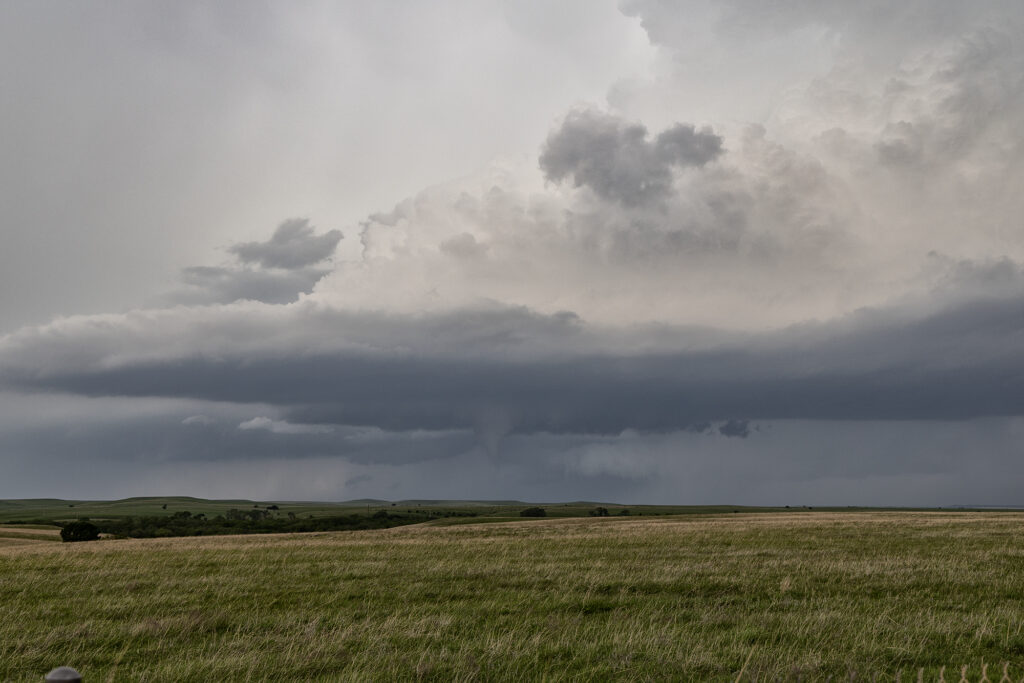
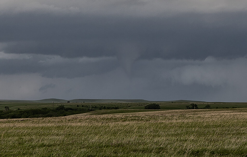
As we headed from Denver to Oklahoma City to prepare for our first tour of the season, we caught a few severe storms producing a couple of tornadoes in Kansas near Cottonwood Falls. A boundary was pushing slowly east and fired off supercells along it, so we stayed with them as they moved into better shear. One lone supercell east of the boundary had nice structure and produced a truncated cone tornado west of town. In the distance you could see the line of storms on the front and they started producing landspouts. Later in the evening, 2 supercells south of the KS/OK border became violently tornadic with one strong tornado directly impacting Enid. Our thoughts and prayers go out to those affected it this tornado!
April 13th Southern Minnesota Tornadoes
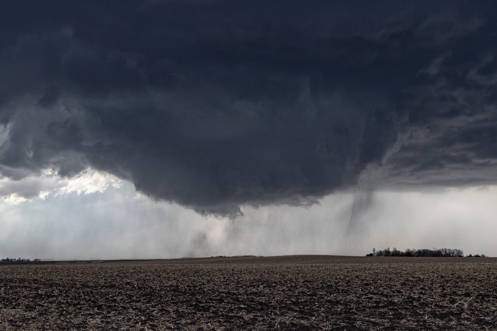
April 13th took our on call tour north to a volatile set up along a warm front/triple point over southern Minnesota. Mid afternoon we arrived near Fairmont, MN as the atmosphere became extremely unstable. Several storms developed along the warm front, then crossed it into colder air. These were not tornadic, but produced big hail. Soon, our storm formed west of Truman, MN and anchored on the warm front. You knew that the show was about to begin as it ramped up quickly and grew to over 50,000 feet. A tornado warning we issued as the storm spun had and approached our location. We drifted east with it and a huge bowl shaped lowering formed, and quickly dropped a pretty cone tornado. It stayed on the ground several minutes before lifting. Another elephant trunk shaped tornado formed east of town and was also on the ground for several minutes. It was quite pretty! After it dissipated, a third truncated cone shaped tornado formed and was on the ground for about 5 minutes before lifting. We stayed with the supercell past Minnesota Lake where it continued to be tornado warned, but it did not produce anymore tornadoes. Numerous cell mergers would disrupt the low level mesocyclone until it soon died off. An incredible day with a pretty supercell and 3 tornadoes we were only a mile away from! Enjoy the pics!
April 2nd Eastern Iowa Tornadic Supercell
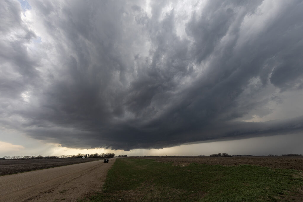
April 2nd had potential but there were a few flies in the ointment. First would storms form ahead of a surging front? Second would they form north of a warm front? The answer to these questions was soon resolved. An isolated supercell formed ahead of the front/squall line near Ottumwa, also south of the warm front. As it moved northeast, it strengthened and soon became tornado warned. Several times it produced funnels and even a couple of brief tornadoes as it moved just east of Iowa City. Eventually it was absorbed in the surging squall line. Structure on the supercell was decent, and it had low and mid level striations. Wall clouds were persistent the entire time it was tornado warned. It also produce hail to golfball sized. Fun chase day, but it is always difficult to stay up with storms moving at 60 mph!!
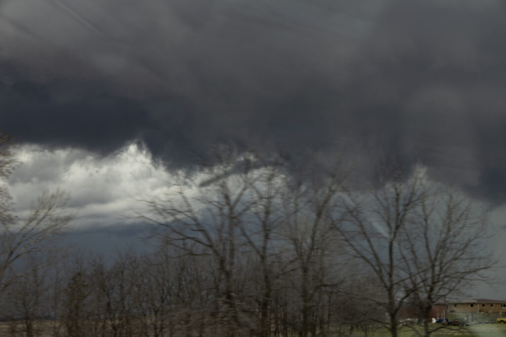
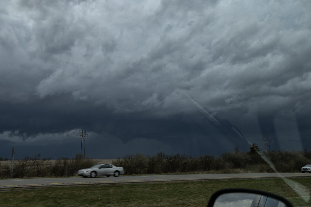
March 10, 2026 Northern Oklahoma Severe Warned High Based Supercells
Having to be in Great Bend, Kansas on March 10th kept us from going to Illinois for that event. Instead, we played a stationary boundary near the Kansas/Oklahoma border area. Storms formed mid afternoon west of Woodwards, OK and intensified as they traversed the boundary. By the time they got north of Alva, OK, they were producing copious amount of hail up to pingpong ball sized. We drove through the core a few times to see what it had in it and got some decent hail stones! We eventually let them go as they moved north of the boundary and became elevated supercells. We headed to Wichita, KS for the night and were greeted with tons of lightning and hail at our hotel. A fun way to spend the day on our way to get the new customized van for 2026!!!