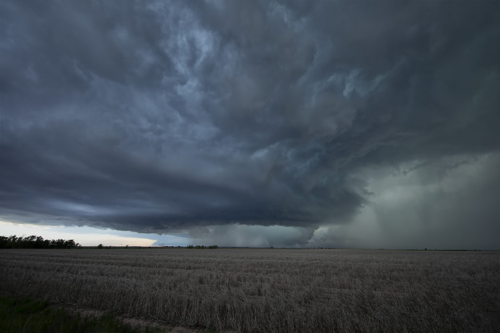
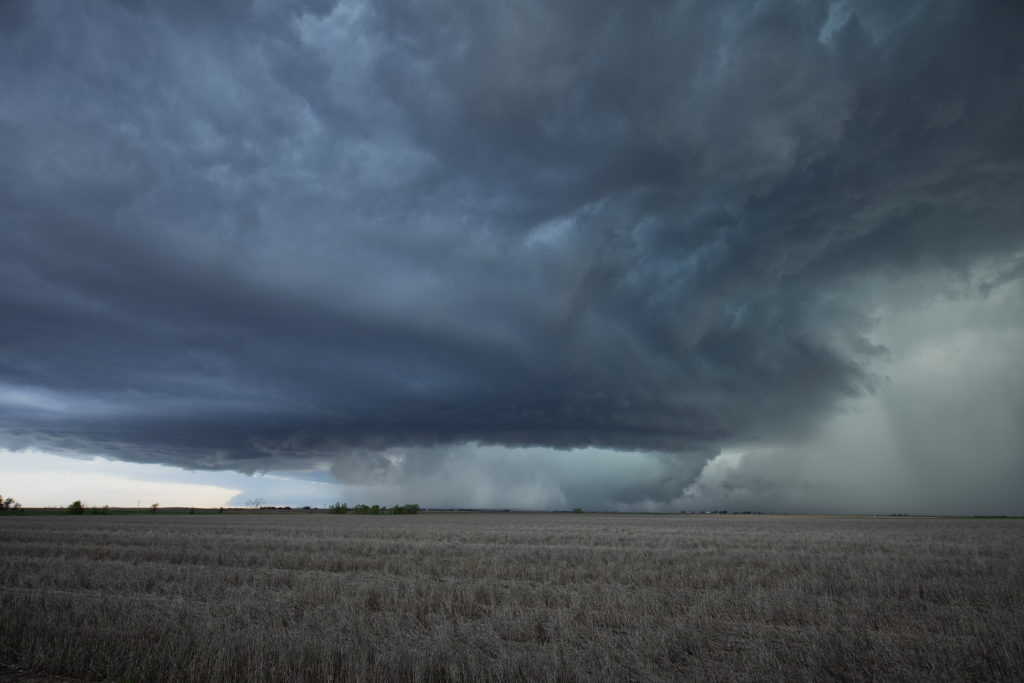
May 27th Northeast Colorado/Southwest Nebraska Tornadic Supercells
This day had a lot going for it. Great shear, good moisture and instability, and a dryline would help set the stage for intense supercells. Our first storm of the day formed near Ft Morgan and tracked northeast along I-76. It became a rather large and occasionally disorganized supercell. However as it approached Sterling, it wrapped up hard and produced a brief, small tornado. Further to the east, a second, well organized and photogenic supercell formed. It produced a few brief tornadoes, however the structure of this storm would be one of the prettiest for 2019! As it came towards Imperial, a beautiful sculpted storm was present. At one point west of town, not only did the storm have a stunning appearance, but a partially rain wrapped tornado became visible. The cone shaped twister was on the ground for a few minutes before wrapping in rain again as we lost visibility of it. An amazing day with gorgeous storms and a few tornadoes! Enjoy the photos below!


No comments yet.