May 26th Southeast Colorado Tornadic Supercell
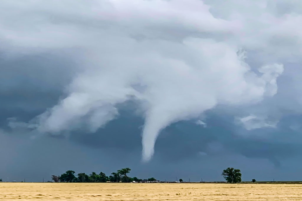
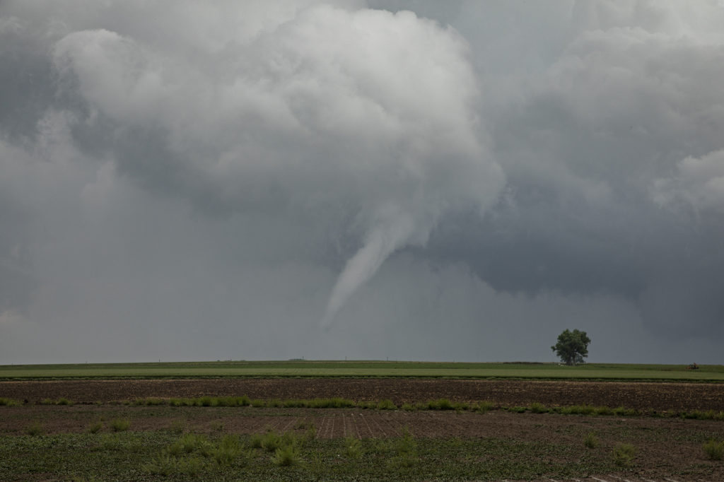
May 26th ended up being an exciting Colorado storm day! We captured a tornadic supercell just north of Lamar that had a brief pretty white elephant trunk shaped tornado. The day started out really messy as numerous elevated thunderstorms formed over eastern Colorado. An existing boundary that was visible underneath the elevated storms would set the stage for late day supercells, one of which was long lived and quite nice. By mid afternoon we were watching storms west of Lamar. They were in drier air with high cloud bases and could never really get intense.
Further east towards Lamar one storm rapidly developed along the boundary and tracked northeast. Moisture, instability and wind shear was much better in this location! It quickly dropped a funnel that persisted for nearly 10 minutes, touching down a couple times but causing no damage in the rural areas. It moved northeast and weakened as a second storm approached from the southwest and became tornado warned. It tried hard several times to produce but in the end it never did. We followed it northeast to the Kansas border before dropping further south and east into Kansas for late evening lightning. An exciting day in Colorado and western Kansas! Enjoy the pics below. (First bright pic of white tornado is a cell phone shot)


No comments yet.