
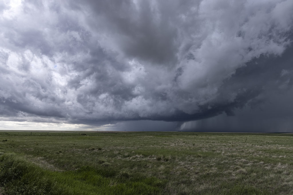
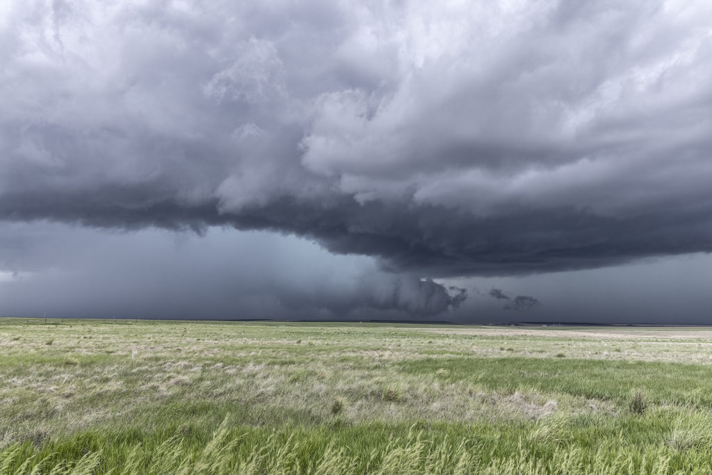
May 23rd, Last Chance, Colorado Tornadic Supercell
May 23rd had great potential in Colorado and western Nebraska. A strong upper low over the Rocky Mountains would draw in large amounts of moisture, while the lift and diurnal heating would generate large amounts of instability. The upper flow was weaker than we would like, which would likely result in high precipitation type supercells, very dangerous storms. A tornado watch was issued before noon and the initial storms formed east of Pueblo, CO. Fast motion carried them towards Limon and points north where one supercell emerged. This storm had a nice wall cloud and tail cloud and had a couple of funnels/weak tornadoes under them. The storm became strongly HP in nature so we eventually left it for points south where shear would allow more isolated updrafts with better visibility under them. All in all, this day under produced, which we were afraid of due to the weak winds aloft. However, any day where you catch a tornado, no matter how brief it was, is always a good day! Enjoy the pics!
No comments yet.