
May 22nd Texas Panhandle Supercells
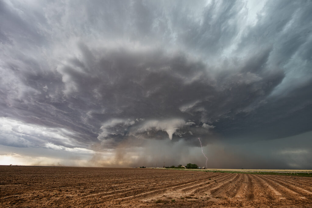
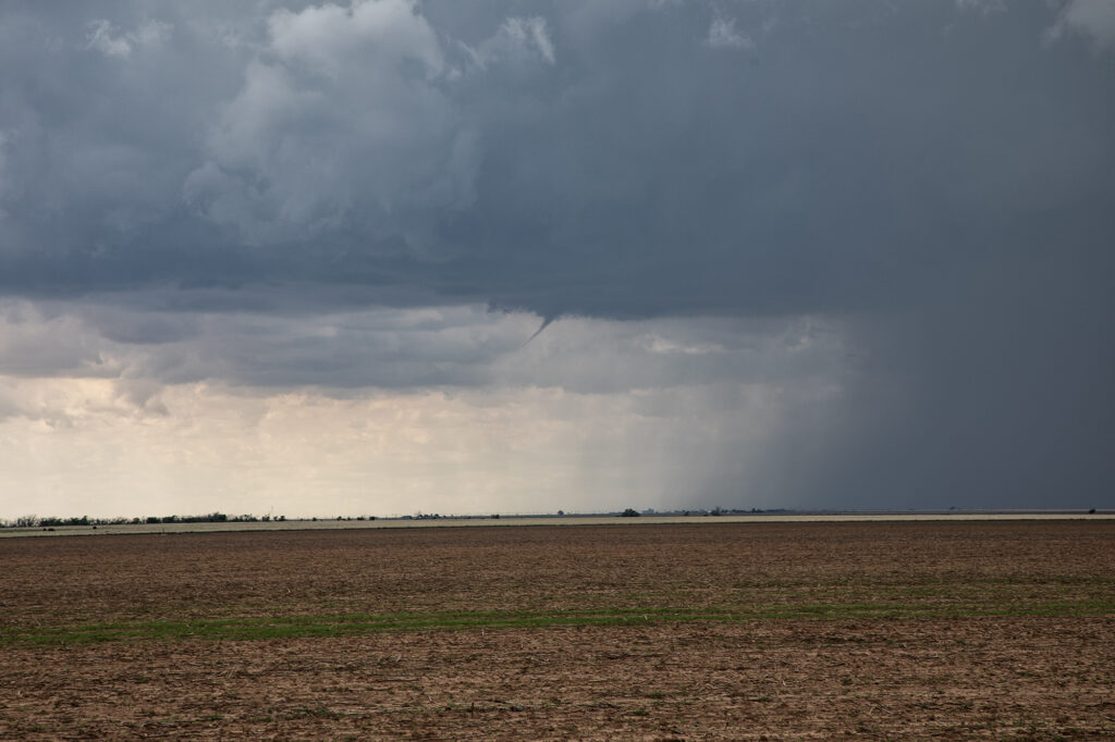
May 22nd brought decent moisture, good instability, a Texas dryline and moderate shear. By early afternoon, cumulus towers were forming along the dryline from Amarillo south to Lubbock. A bulge in the dryline was evident around Tulia and that’s where we intercepted our first supercell. It only took about an hour for the storm to really get organized and quickly a small funnel cloud formed. It persisted for a couple minutes. A blocky wall cloud formed and started rotating. However, it was quickly undercut as a new cell formed to the southwest. As the storm weakened another supercell formed northwest of Lubbock. We headed south for that one as a ragged wall cloud formed. As the storm moved east, it encountered higher temperatures and lower dewpoints which caused the storm to become high based, thus lessoning the chance of it producing a tornado. It did produce a high based funnel near Crosbyton and also produced hail golfball sized. Soon after, it weakened coming off the caprock and the chase was ended.
No comments yet.