
June 21st Western Kansas Supercell
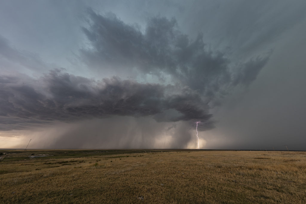
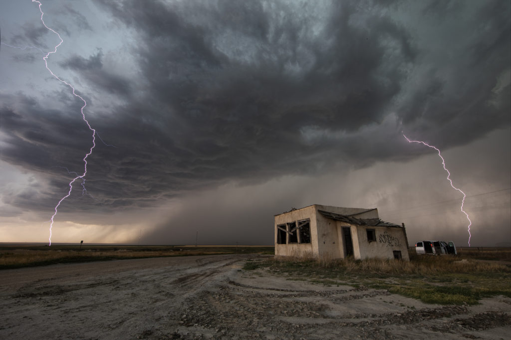
June 21st looked like a big messy day. Forecast was for thunderstorms, including supercells to form along multiple boundaries in western Kansas. It was thought that storms would congeal into a large MCS and track into northern Oklahoma later. That is in fact exactly what happened. Storms formed first along a weak front in northwest Kansas and tracked south. Other storms formed along old outflow boundaries in southwest Kansas. Eventually they all merged in a large high wind producing MCS. Moisture was marginal, but shear and CAPE were fairly high. As they became outflow dominant, a fast moving convective system produced 80 mph winds and golfball sized hail as it tracked in the Oklahoma panhandle. It was a fun day for lightning, and a well defined shelf cloud formed with the complex. Please click on an image for a larger photo. Enjoy!
No comments yet.