
June 13th Potter, Nebraska Surprise Tornadic Supercell
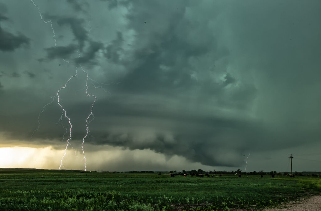
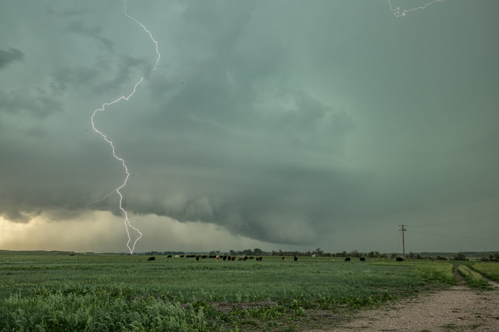
June 13th looked poor on paper. Modest shear, moisture and CAPE along the Cheyenne Ridge between Colorado and Nebraska. We started west towards Cheyenne where moisture was really quite meager. Much better and deeper moisture and instability existed further east, from near Sidney, Nebraska eastward. Strong easterly winds were pushing that moisture westward, but it didn’t look like it would make it in time before storms collapsed. Outflow surge from Cheyenne storms blew east and when it interacted with that deeper moisture, a line of storms, some supercells, exploded. Near Potter, NE on I-80 an updraft anchored and spun hard. It became incredibly electrified! It also produced a 5 minute multivortex tornado before it produced a tapered truncated cone tornado right near the interstate. Staying down wind a few miles allowed us to get out of the intense lightning threat, but also limited the view we had. But we were able to see the tornado and structure of the supercell together. It was very nice! Quite the surprise ending to a marginal day. Once in awhile nature gives you those surprises! Enjoy the pics!
No comments yet.