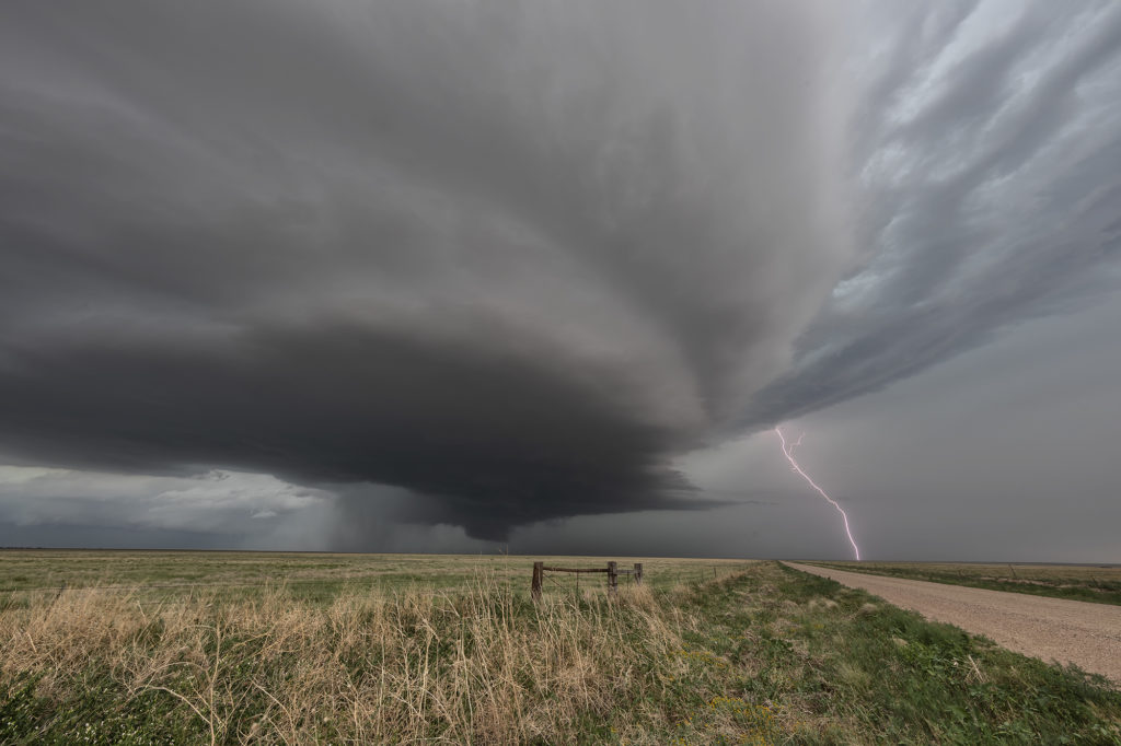
July 14th Southeast Colorado Tornado Warned Supercell
July 14th kept us in Colorado to chase off the Palmer Divide into southeast Colorado. A sagging cold front we push moisture westward into the Palmer Divide, causing storms to develop by mid afternoon. Those storms produced copious amounts of hail, but became undercut by outlfow and died. The boundary pushed south as more storms formed along it east of Pueblo. Near the town of Sugar City, one storm formed and spun hard. It quickly became tornado warned and stayed that way for a few hours. A couple of times, it had the look like it wanted to drop a tornado, but it never did. As it merged with numerous storms west of Lamar, the storm interaction with others caused it to produce a quick 1 minute spin up. The structure with this supercell was quite nice. It was also quite electrified! Eventually this cluster of storms pushed into western Kansas and weakened as we followed it east to Garden City. Great day! Beautiful storm and it certainly tried to get very interesting! Please click on a pic for a larger image. Enjoy!


No comments yet.