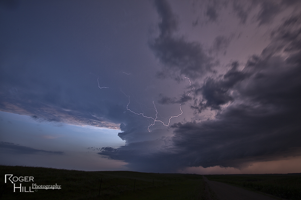
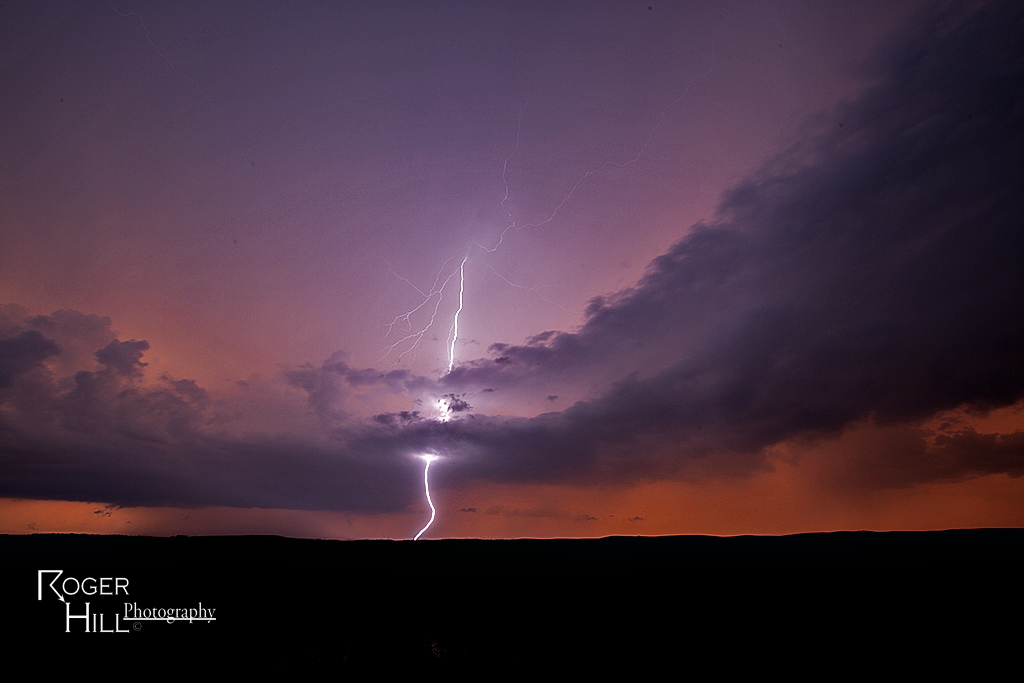
June 29th kept us in far eastern North Dakota as a warm front lifted north from South Dakota. The cap was strong and it took until 7pm to get a good storm to fire along it. We had chased a tornado warned supercell towards Bismarck earlier in the day, but it moved along a front and weakened. Thus we blasted to the warm front and caught a tornado warned storm southewest of Fargo. As it approached Fargo, it was obviously spinning hard, and a long, snaky funnel formed over I-29. As the dissipated, another updraft developed on the east side, just east of Fargo and had substantial cone shaped funnel. Multiple reports that it briefly touched down came in, and I certainly can’t argue with that. Due to multiple storm mergers though, the supercell just never could take off and take advantage of the great shear along the warm front. We ended up blowing it off and heading to our hotel as it weakened.

June 7, 2026 Dickinson, North Dakota Tornado Warned Supercell and Derecho
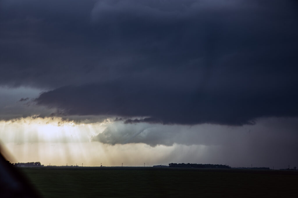
June 7th took us to North Dakota to chase a dryline/outflow boundary. Several storms formed and started spinning. Eventually they congealed into a large bowing MCS with hurricane force winds and cool shelf cloud structure. We encountered down power lines, trees and demolished structures. Even our hotel in Dickinson was without power forcing us to move to a part of town that actually had power. A crazy day, and the winds we encountered with the shelf cloud structure was quite cool. Many reports of winds over 90 mph!
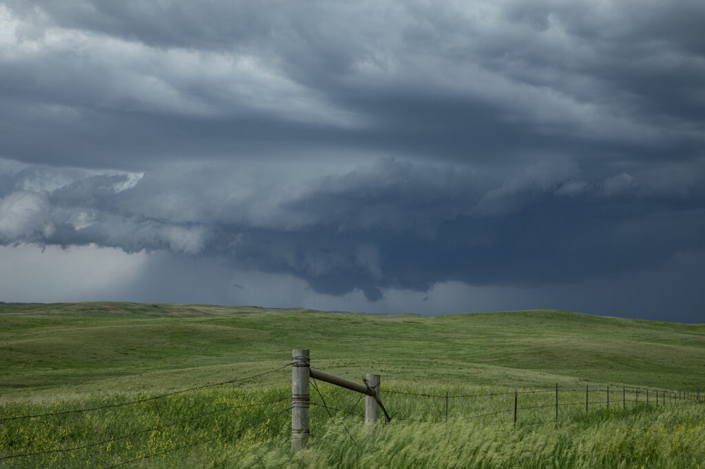
June 27th Amidon, North Dakota Tornado Warned Supercell
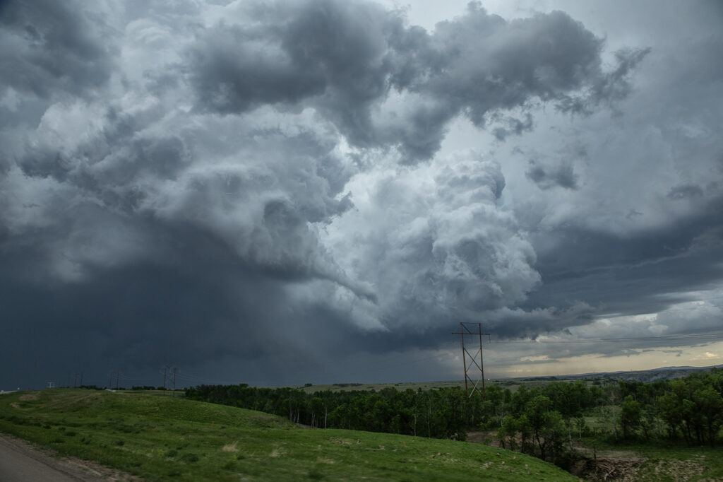
June 27th had a lot going for it. An approaching shortwave trough, an outflow boundary along with a dryline, as well as decent moisture with dewpoints in the 60s and moderate CAPE around 2500 j/kg would set the stage for severe weather in Montana, North Dakota and South Dakota. We originally targeted the area around Buffalo, South Dakota, but as moisture mixed out, we knew we’d have to venture a bit further north into southwest North Dakota. A supercell formed near Beach and became tornado warned. An hour later another supercell formed northwest of Amidon and also became tornado warned. We pushed north to get in position to watch it and as we did a couple of weak funnels formed under it and were reported to the NWS. The storm was anchored along a boundary and slowly back built. Numerous times there were rotating lowerings under the southwest portion of the updraft, as golfball sized hail fell from the vault region. Eventually the cell turned southeast and moved off the boundary. However, it moved into more stable air and slowly weakened but not before becoming tornado warned one last time! We stayed with it over beautiful canola fields and stopped for some photography. A fun day, and some amazing scenery!!!


June 19th Long Tracked Tornado Warned Supercell Montana – North Dakota
Fantastic wind shear was available on June 19th, however, due to a frontal passage, only modest moisture was present off the Big Horn mountains of southeast Montana. This allowed only about 1000 CAPE to build in the area. Fortunately sometimes great shear can compensate for a bit of a lack in surface moisture. A storm formed just south of the Wyoming/Montana border and tracked east just north of the boundary. As it approached the Alzada, MT area it started spinning hard and became tornado warned. It pulsed up and down a few times as it moved into northwest South Dakota, eventually crossing into southern North Dakota near Hettinger. East of town we had to core punch it to get back in front of it and were promptly greeted with tons of golfball sized hail. (Video will be on our SLT Youtube channel soon!) Getting back in front of it, and moved east northeast and took us to Bismark where we spent the night being rocked to sleep by constant thunder. A great day, and a supercell that survived over a 250 mile distance! Enjoy the pics!
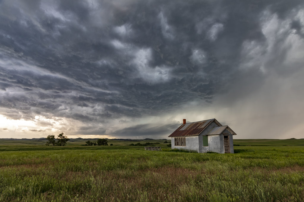
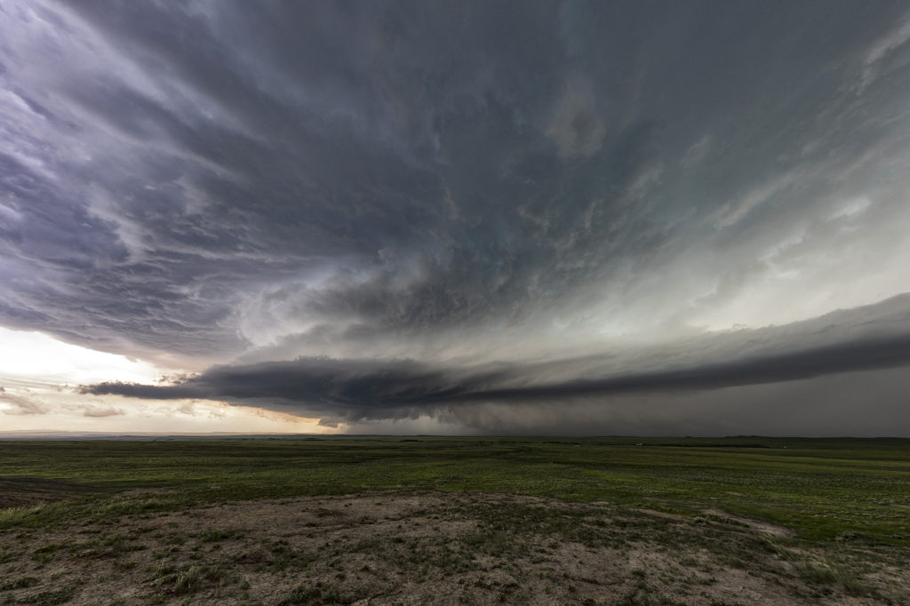
June 10th Alexander, North Dakota Tornadoes
June 10th was a great set up in northeast Montana and western North Dakota. A warm front lay from Glasgow, MT southeast towards Dickenson, ND. Strong instability, good moisture and fantastic shear set the stage this day for multiple supercells and tornadoes along the warm front/dry line intersection north of Wibaux, MT. Cells initially formed all along the boundary, but the northern cells moved into cooler air and weakened. The triple was a storm producing machine firing off one supercell after another as they each matured and some became tornadic. The first tornado was my favorite, coming over the hills near the Roosevelt National Park area and was quite visible. The second tornado was a bit further away and choked with rain and very large hail, making photos hard to see. Nonetheless, it was a spectacular day and great results for Tour 7! Enjoy the photos!
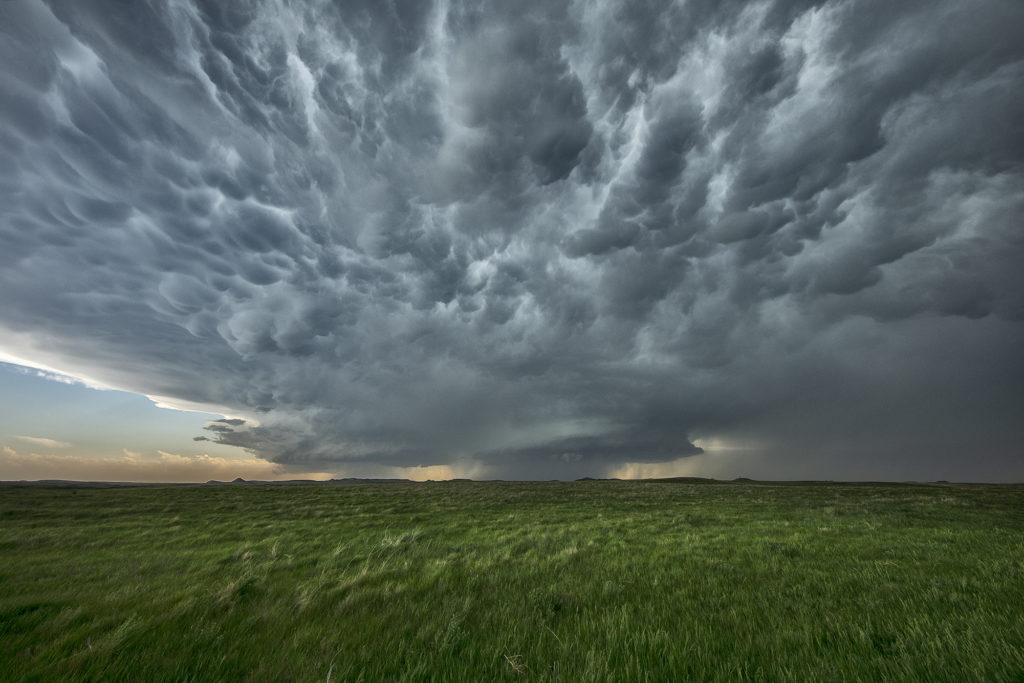
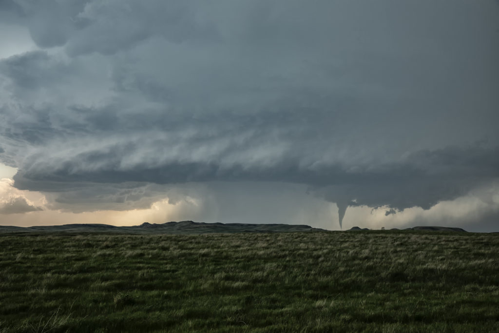
June 28th Central North Dakota Stunning Thunderstorm
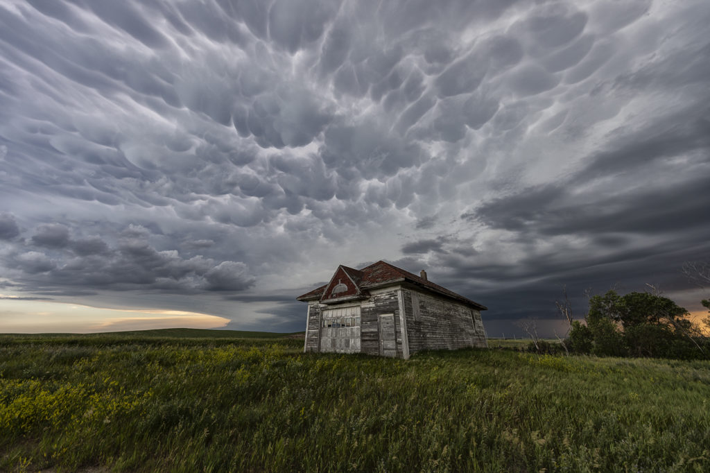
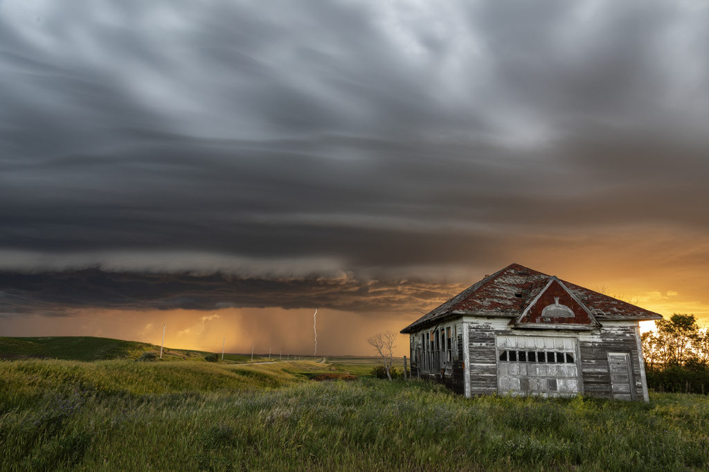
June 28th took Photo Tour 3 to North Dakota. Good moisture and instability, coupled with weaker shear would allow a squall line of severe thunderstorms to form northeast of Bismark, ND. We managed to find an old abandoned farmstead south of Wing, ND where we were able to set up and capture some amazing images! The storms, coupled with the lowering sun in the evening, along with the old farmstead, allowed us to capture some of my favorite images from 2020! We stayed in place for a couple of hours photographing the area, and eventually headed back to I-94 and west to Bismark. A landspout tornado occurred well to our south near the South Dakota border, but everyone didn’t mind based on the images each person captured. Spectacular day with nature painting the Photo Tour one of the best set ups one could want! Please click on an image for a larger photo. Enjoy!
June 14th Theodore Roosevelt National Park Supercell
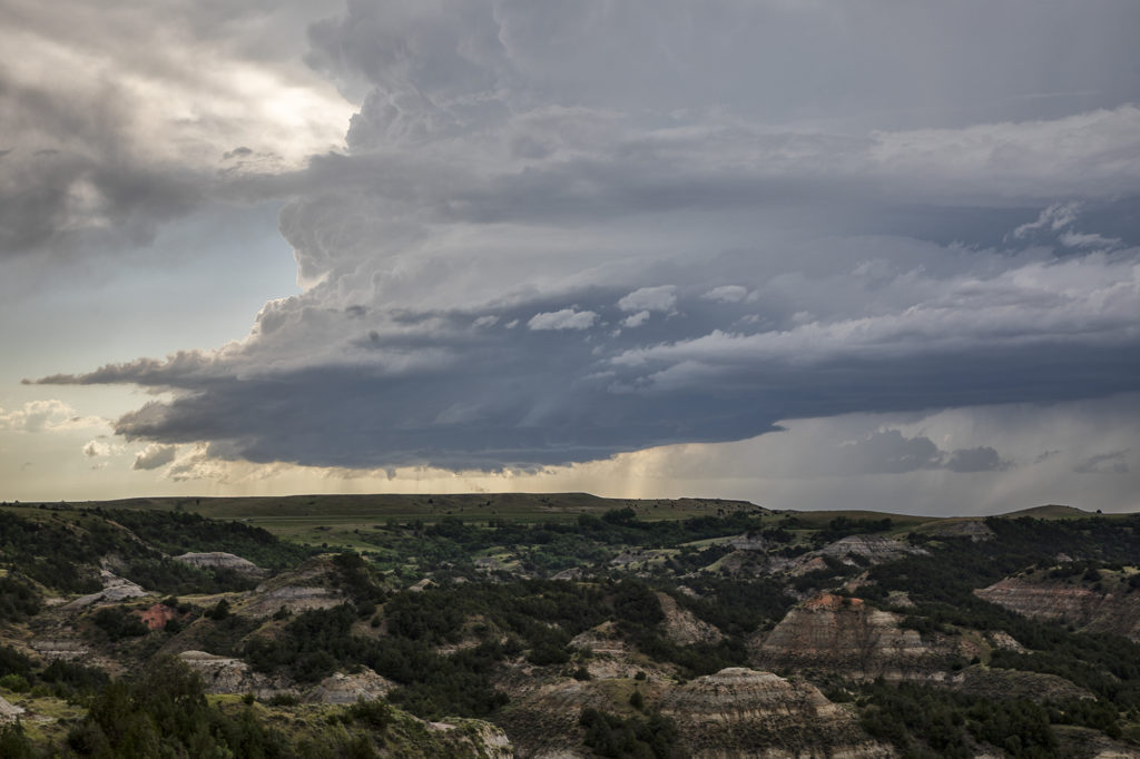
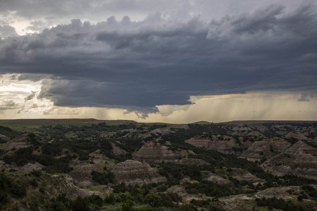
June 14th was a northern plains/high plains set up. A weak front was draped across eastern Montana and northeastern Wyoming. Moisture was streaming northward as well. Moderate CAPE and good shear developed as storms initiated off the triple point in northwest South Dakota and then a bit later over western North Dakota. We watched the South Dakota cell go up, but it was extremely high based. Better low level moisture existed across western North Dakota, pooling along the front and an old outflow boundary. A storm developed rapidly near Beach and slowly tracked northeastward across Theodore Roosevelt National Park. It had decent structure and produce large hail. At one point northwest of Dickenson, a funnel appeared for a few minutes, but was never a threat to touch down. We stayed with the storm until it weakened early evening, then headed to Bismark for the night. A fun day, very scenic area for chasing and a pretty storm! Click on a pic for a larter image. Enjoy!
July 11th North Dakota and Minnesota Tornadic Supercell
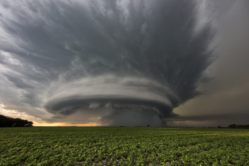
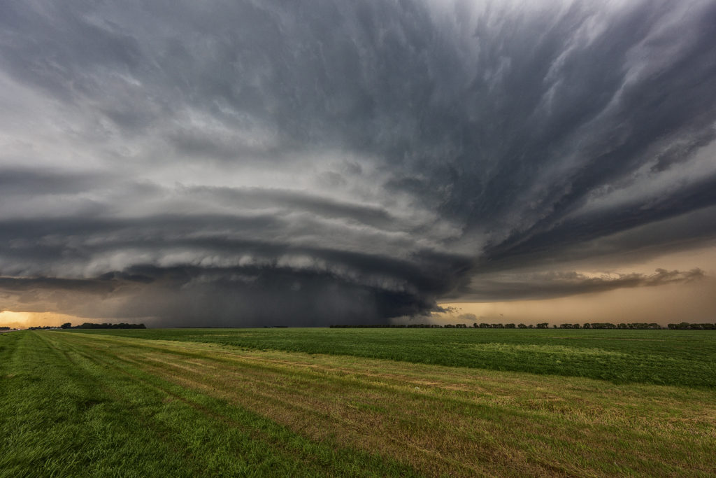
July 11th took as to eastern North Dakota. An advancing dryline, strong moisture return and extreme instability would set the stage for numerous supercells, some tornadic. We started the day just west of Grand Forks, ND as convergence caused cumulus towers to explode. It didn’t take long for severe and tornado warnings to be issued! We played with the first to do so northwest of town. It had decent structure and very large hail. A large wall cloud formed and spun strongly. An occasional shear funnel would occur, but nothing imminent to touch down. Soon, a supercell formed on the southern end of the line and quickly became severe. It developed a strong area of rotation and a hook on radar. we quickly dropped south to intercept the storm, driving through blinding rain and hail golfball sized. As we cleared the core, a large circular updraft came into view and it was obvious it was spinning strongly. A mulitvortex tornado occurred back in the core that we couldn’t see. It stayed on the ground for over 20 miles as it approached the Minnesota border.
We stayed with the storm all the way to northeast of Fargo is the structure was jaw dropping! At one point, the rain cleared enough to get a brief glimpse of the large tornado! (pic below) Eventually it weakened as upshear convection would form and interfere with the supercell. The lightning was extreme, intense and very close numerous times. Several times we had to get back into the vans for our safety and to keep our guests safe. Finally near sunset, we let the storm cluster go and headed west for what would be several days of chasing in Canada!
July 13th Western North Dakota Supercell
I was torn between playing further northwest or playing the dryline in western North Dakota this day. Decent shear, moisture and instability was available for any cell that could sustain itself under the capping inversion. This cell was the best of them. It came QUITE close to producing a tornado south off Williston, ND. Structure was quite pretty, and the oil fields were evident in the photos! Crazy how much oil exploration is going on up there.
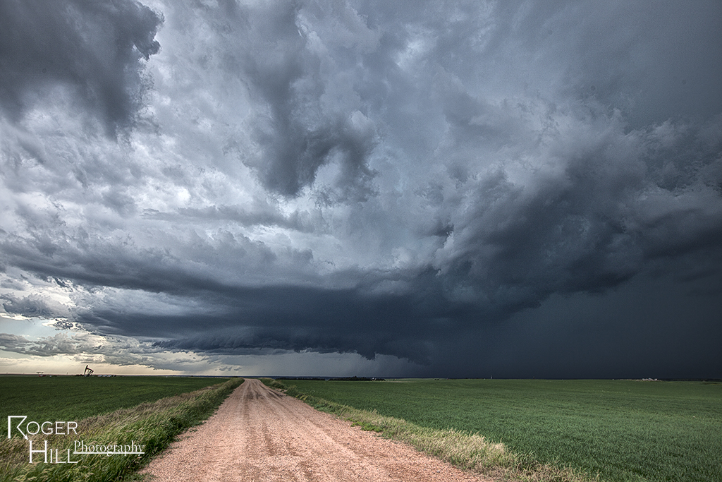
July 12th Southeast North Dakota Tornado Warned Supercell
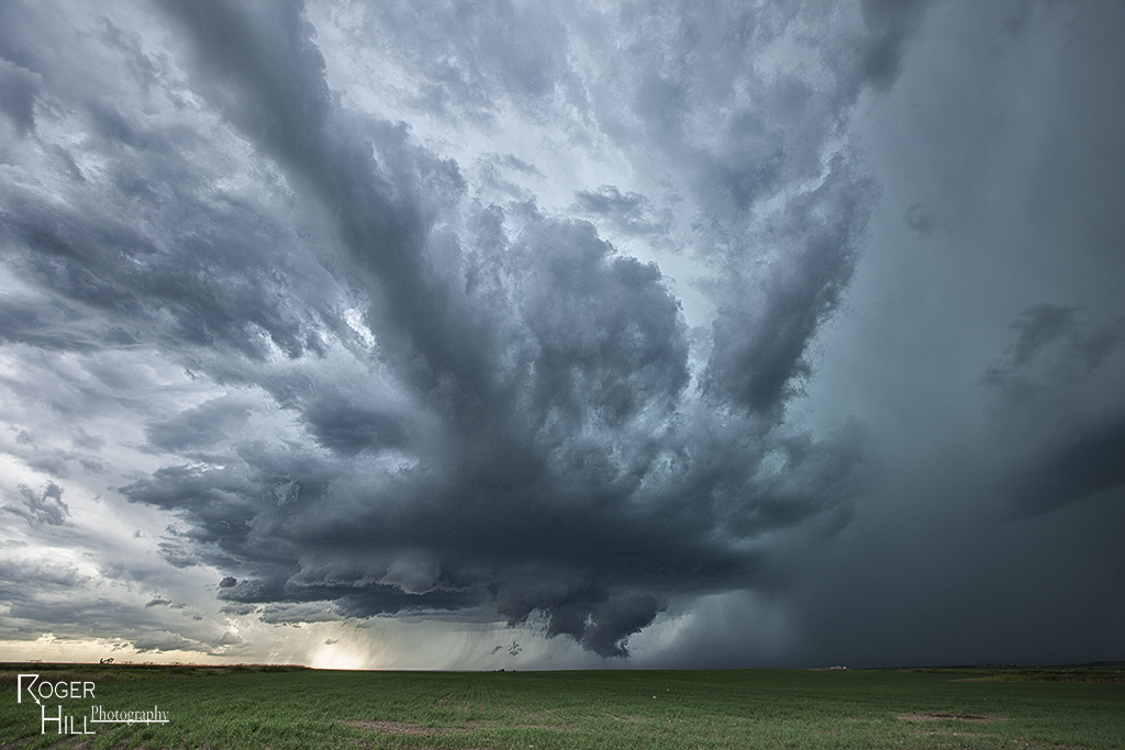
What a finish to a day that looked pretty doomed. Cloud cover all day kept good insulation from occurring and thus reducing instability. Just south of the North Dakota border, skies were clearer, but shear was weaker. Nonetheless, a supercell, nearly tornadic, formed near Cayuga, North Dakota and became a very nice storm! It was quite electrified and also produced copious amounts of large hail. We watched it form from a towering cu all the way through its decaying stage. What a treat!