
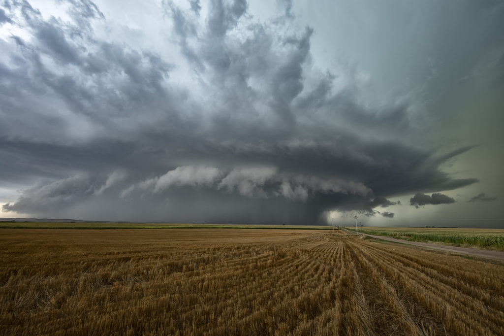
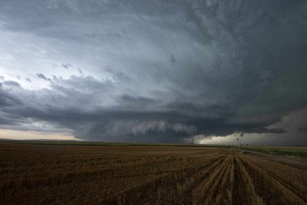
August 19th Lamar, NE area Tornadic Supercell
August 19th looked too good not to chase. Good moisture, high CAPE values, strong lift with an approaching wave and good low level shear along a boundary would set the stage for a good day! Mid afternoon storms exploded over northeast Colorado and slowly intensified. One particular storm, south of Holyoke, CO became a supercell. As it drifted east/northeast along the boundary it took off and became tornado warned. Very very strong low level rotation was occurring and the low level mesocyclone eventually became rain wrapped where you couldn’t see it anymore. Extremely heavy rains (4-9 inches!) prevented me from taking dirt, now mud, roads to get into the notch for a better look. However, the storm did produce a tornado, possibly two, one of which was a fast funnel in the hook area before it wrapped up in rain. A fun chase day, and good results, just wished for a better view in the notch! Enjoy the pics!
No comments yet.