
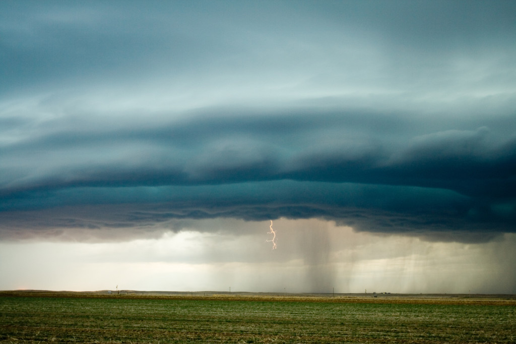
March 23rd/24th, 2007 Eastern Colorado and Southwest Nebraska Storms
A strong closed low was to be the culprit for sever weather across Colorado and Nebraska on March 23rd and 24th. the most intense storms and tornadic supercells developed over eastern New Mexico, while Colorado just didn’t have enough deep moisture to get intense storms to form. Marginal supercell structures formed and were quite photogenic. On the 24th, poor lapse rates and marginal moisture would spell doom for what appeared on paper to be a decent set up. A couple of tornado occurred in northeast Colorado on Saturday, with a possible brief tornado near Hayes Center, Nebraska.
No comments yet.