
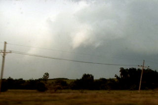
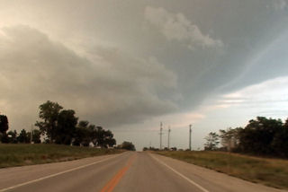
June 30th, 2005 Neosho County Kansas Possible Tornadic Supercell
June 30 was a surprise day! Things did not look that great to start, but intense instability along with an old outflow boundary would provide the focal point for severe thunderstorms. Elevated storms developed during the morning and early afternoon, followed by surface based storms along outflow boundaries later that day. We raced east from Wichita to catch this beast as it became an intense supercell. It produced at least one if not more tornadoes. One tornado was reported after we left it with a damage path of 500 yards!
No comments yet.