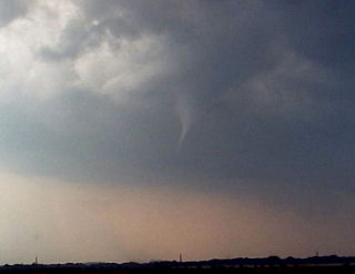
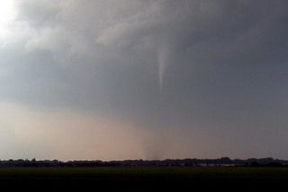
June 29th, 2005 Southwest Minnesota Tornadoes
The set up this day was conducive to supercells. A dryline/cold front would advance across far western Minnesota and provide the focal point for thunderstorm development. We started in west central Minnesota north of Marshall. Convection developed and went linear quickly. So we dropped south where the cap was stronger and caught a nice isolated supercell. This storm produced at least 2 tornadoes we could confirm.


No comments yet.