
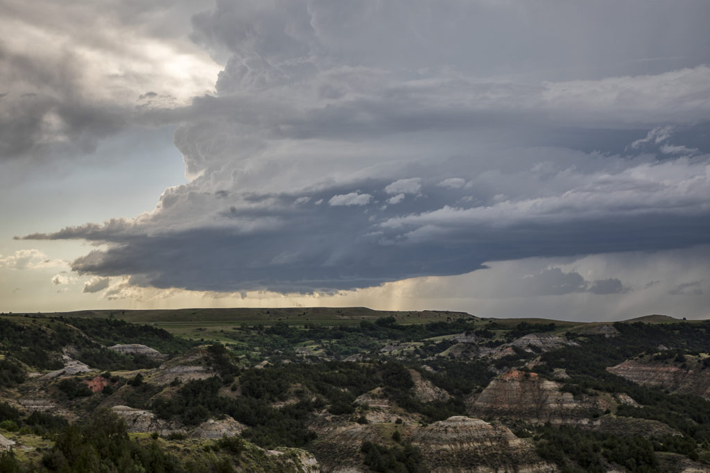
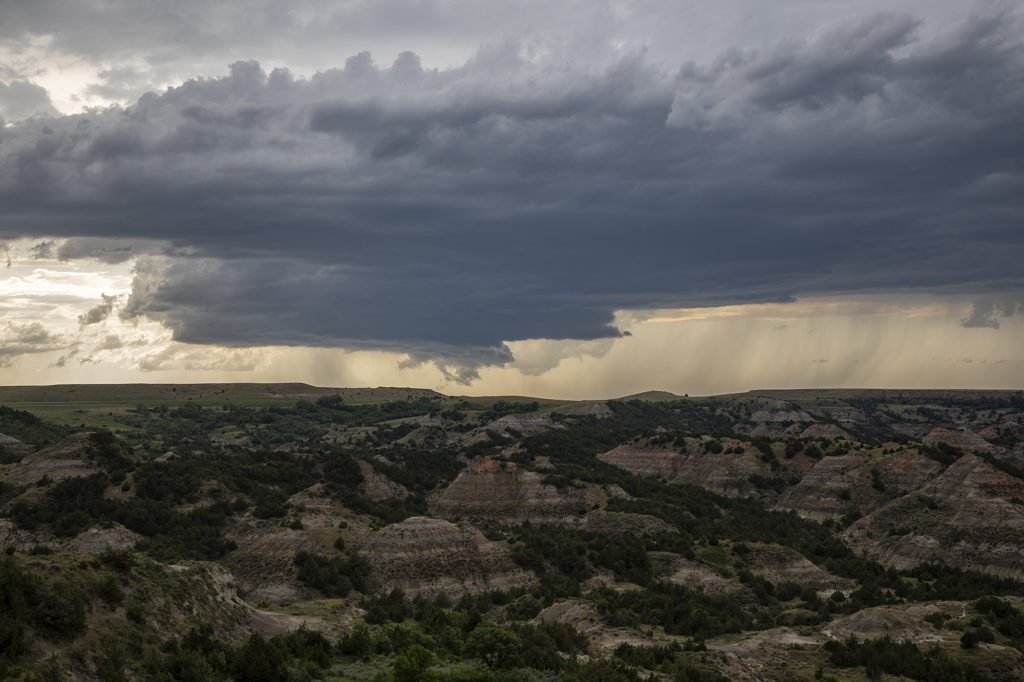
June 14th Theodore Roosevelt National Park Supercell
June 14th was a northern plains/high plains set up. A weak front was draped across eastern Montana and northeastern Wyoming. Moisture was streaming northward as well. Moderate CAPE and good shear developed as storms initiated off the triple point in northwest South Dakota and then a bit later over western North Dakota. We watched the South Dakota cell go up, but it was extremely high based. Better low level moisture existed across western North Dakota, pooling along the front and an old outflow boundary. A storm developed rapidly near Beach and slowly tracked northeastward across Theodore Roosevelt National Park. It had decent structure and produce large hail. At one point northwest of Dickenson, a funnel appeared for a few minutes, but was never a threat to touch down. We stayed with the storm until it weakened early evening, then headed to Bismark for the night. A fun day, very scenic area for chasing and a pretty storm! Click on a pic for a larter image. Enjoy!
No comments yet.