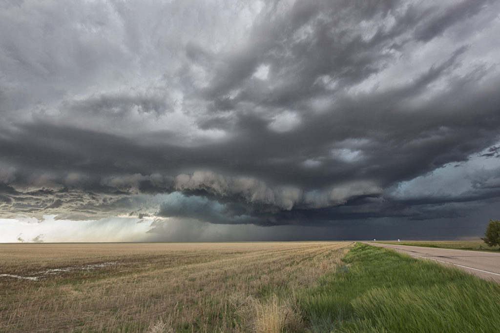
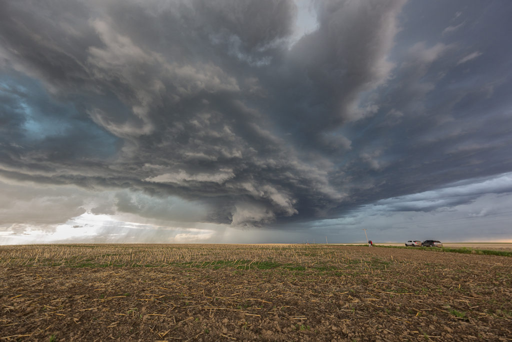
A complex, but decent set up occurred on May 18th. A dry line, warm front and cold front would be big players this day, but the question was which would produce the best storms. The dryline fired up early and often producing numerous storms with huge hail. The cold front fired up in Colorado with clusters of storms moving into western Kansas. But it would be the warm front in northern Kansas that would produce the longest lived supercells, nearly anchored along it. Unfortunately, none would produce significant tornadoes, but a couple would produce hail baseball sized and as well as one landspout tornado. We chased a cell south of Oakley that would have pretty structure, tons of lightning and even a cone funnel that would could not determine if it touched down or not due to the angle it was from us. I fun and exciting day ended with a fantastic lightning show in Garden City, Kansas.
May 14th Southern Kansas Tornadic Supercell
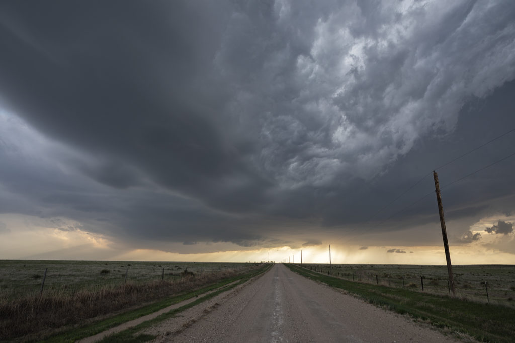
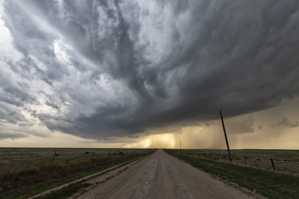
May 14th took the May Minitour to southern Kansas. A storm formed near Arkansas City and anchored itself. Due to extremely high dew points and CAPE, the storm grew very large quickly. Wind shear was enough to start it spinning as well. It became severe and soon also was tornado warned. As the base lowered and a wall cloud formed, an elephant trunk shaped funnel dropped down and touched down for a couple of minutes before roping out. The storm maintained its structure for a couple more hours before it merged with a line of storms coming in from the west. A surprise event as it wasn’t forecasted, but nonetheless was pretty intense. Large hail also accompanied this supercell during its lifetime.
May 1st Kansas Tornadic Supercells
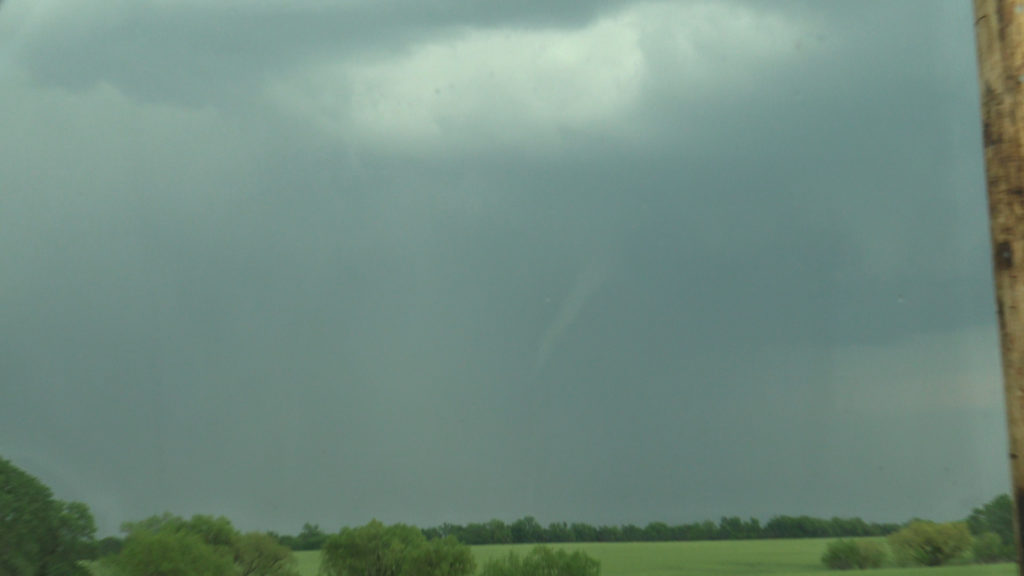
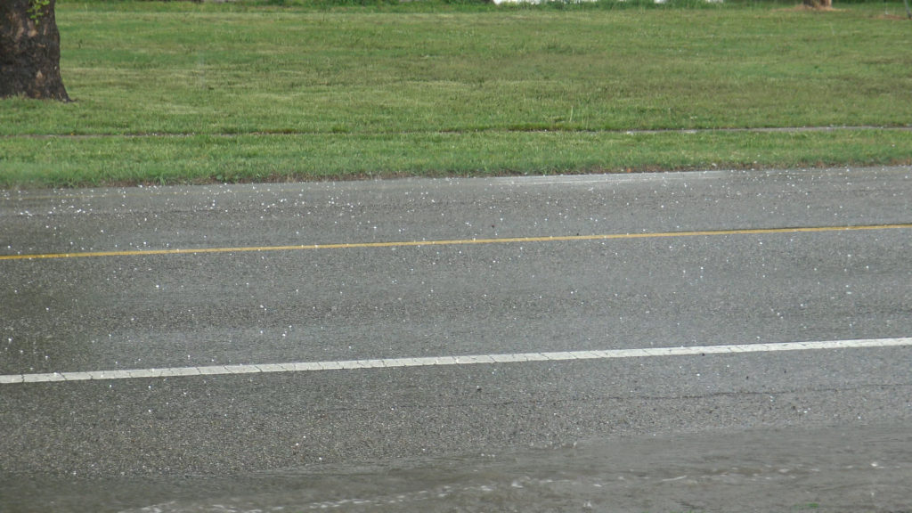
May 1st had a lot of promise. However there were certainly some issues with the set up. Storm mode was unclear near the front in northern Kansas and a strong capping inversion southward along the dryline could result is very short storm lives in that area. We started near Great Bend and jumped on a storm that formed northeast of Dodge City. It quickly became tornado warned. Based on initial visuals of the storm, it had little tornadic threat at that time. As the storm moved northeast towards Interstate 70 it really ramped up, getting tornado warned for nearly 3 hours. Rotation was visibly increasing and the structure of the supercell became quite nice. Unfortunately a left moving split further south came crashing into it and basically killed it. Other storms formed north and south, and opting for the usual tail end storm this day proved to be the wrong play. As the tail end supercell moved east away from the dryline, it showed a nice hook on radar and became tornado warned. As we raced south, leaving the messy northern play to get on the tail end storm, it weakened and eventually died. Before dying, it gave us a very nice look at the updraft as it became a low precipitation supercell. 9 out of 10 times this play works. However this day it did not as a cluster of storms north of the interstate rotated and one dropped a significant tornado.
Enjoy the photos as it was a pretty supercell!
July 13th Central Alberta, Canada Tornadic Supercell
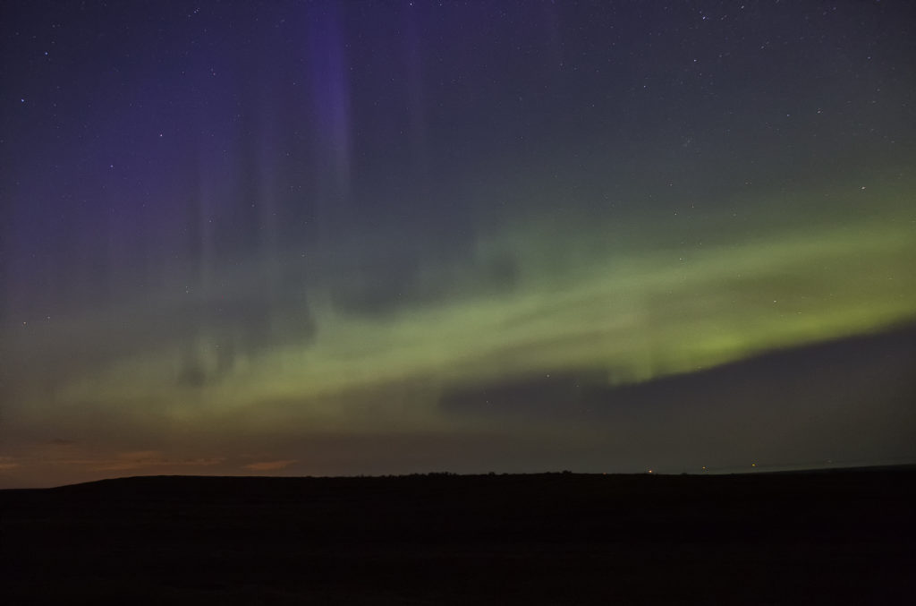
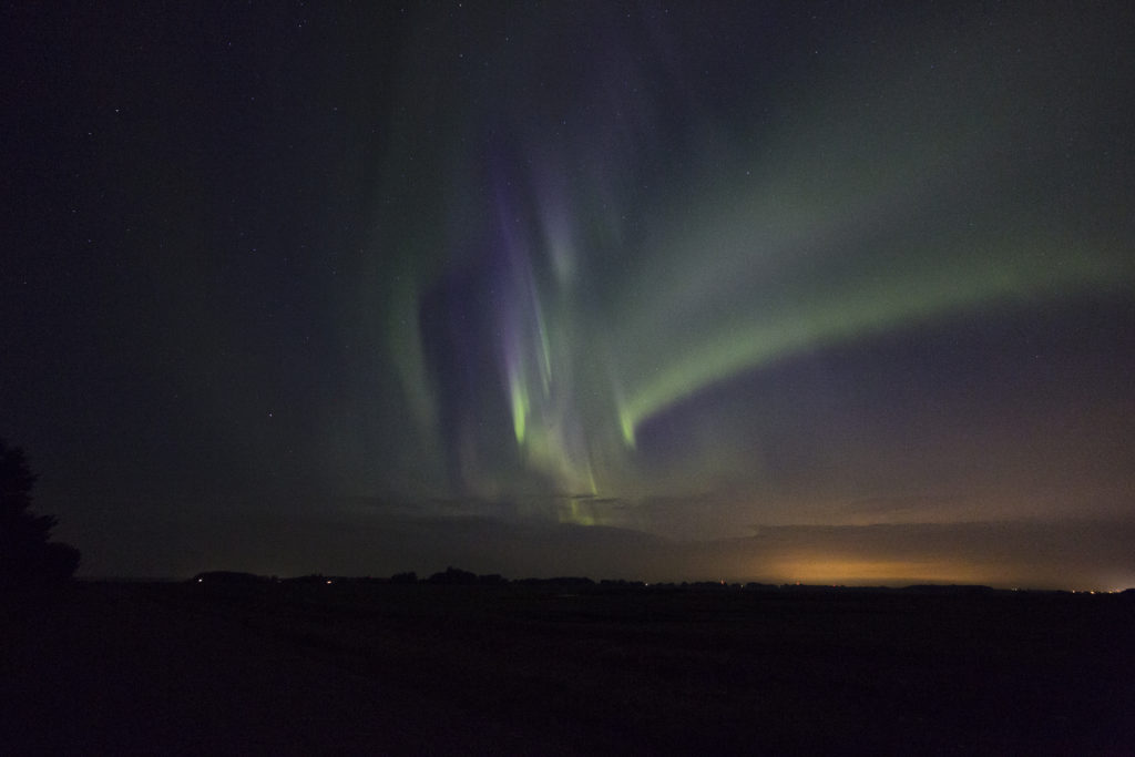
After our adventure in North Dakota on July 11th we knew we had to head well into Canada. A strong upper level low with great flow aloft, good moisture and instability, and lift along a dry line /Canadian Rockies foothills, would keep us in this region for several days. However, July 13th was by far the best set up in the area! We spent several nights in Red Deer, Alberta and chased west and north of there each day, capturing everything from supercells and tornadoes, great lightning, large hail, clusters of storms, and even a superb Aurora Borealis display on night!
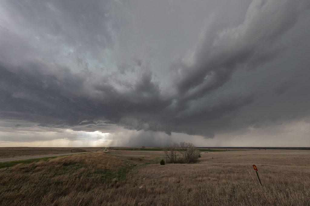
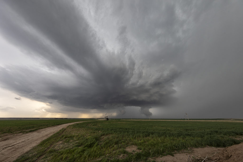
July 13th looked like the peak of action and it certainly was. We targeted a boundary and foothills intersection west of Drayton Valley and we were on the storm as it developed west of there by mid afternoon. We watched the storm cycle several times until it finally intercepted better moisture and instability and took off. It rapidly intensified and started rotating. Soon the roar of the winds with the RFD of the supercell could be heard, followed by the winds from the tornado it produced. It started as a multivortex and morphed into a cone before it completely wrapped in rain. It was rated EF1, the strongest tornado in Alberta in 2017. The storm had fantastic structure, and throw in the canola fields of Canada and it was stunning! A great day and 4 day period for us in Alberta. Beautiful countryside there! Enjoy the pics and the Aurora as well!
June 28th Iowa Tornadoes
June 28th held good promise for supercell storms and potentially tornadic ones to boot. Great moisture, instability and wind shear were forecast across southwest through northeast Iowa. A composite warm front/outflow boundary existed along that corridor and would be to focal point for several tornadic supercells. We were in the Des Moines area and drifted southwest towards Winterset. Soon a cluster of updrafts rapidly formed at the triple point south of Nebraska City, Nebraska. One dominant storm emerged from them. As we blasted west, then south towards Bedford, Iowa (our target!) a tornadic storm developed southwest of Corning, or about 25 miles north of the Bedford target. Since this storm was insanely electrified, had a large wall cloud and great structure, we couldn’t leave it to drop to Bedford for the approaching tornadic storm west of town. It became tornado warned, like the Bedford storm did as well. We stayed with it and watched several tornadoes form and the storm cycle numerous times. We thought it would produce a significant tornado a few times. Most were short lived and sometimes hard to view. Still, a very successful day, 4 tornadoes later, and a pretty supercell. There were over a dozen tornadoes in Iowa this day and a couple were very pretty. Late June and July in Iowa can sometimes be magical!
June 26th Kansas Sculpted Tornado Warned Supercell
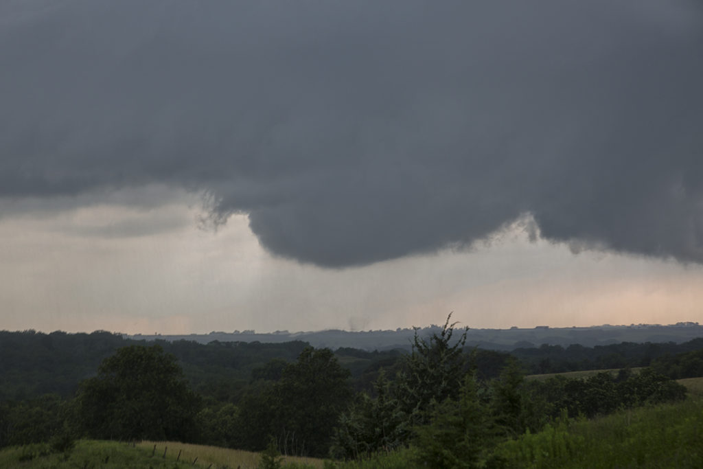
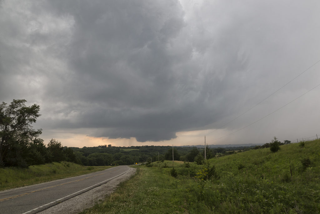
June 26th on paper didn’t have a lot going for it. We fully expected high based storms to form along a slowly advancing cold front over northern Kansas and southern Nebraska. Early afternoon storms formed in south central Nebraska, but we decided to wait till later and chase in the area where the best parameters were, over northwest and west central Kansas. The wait was well worth it! One storm formed northeast of Colby, Kansas and became severe. Structure was decent and hail large. Soon another 2 storms formed west of it along the same boundary. The lead storm left an outflow boundary that the second storm injested. The air, full of moisture and helicity caused the updraft of the second storm to spin, soon becoming tornado warned near Oakley, Kansas. We intercepted it there and stayed in front of it all the way south of Scott City, Kansas where it moved south of the instability axis and weakened. The storm had top notch structure, was tornado warned its entire life cycle and also produced hail the size of softballs. An amazing and unexpected treat to watch this thing on the first day of the Reunion Tour for hours!
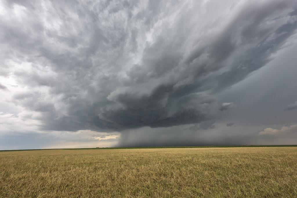
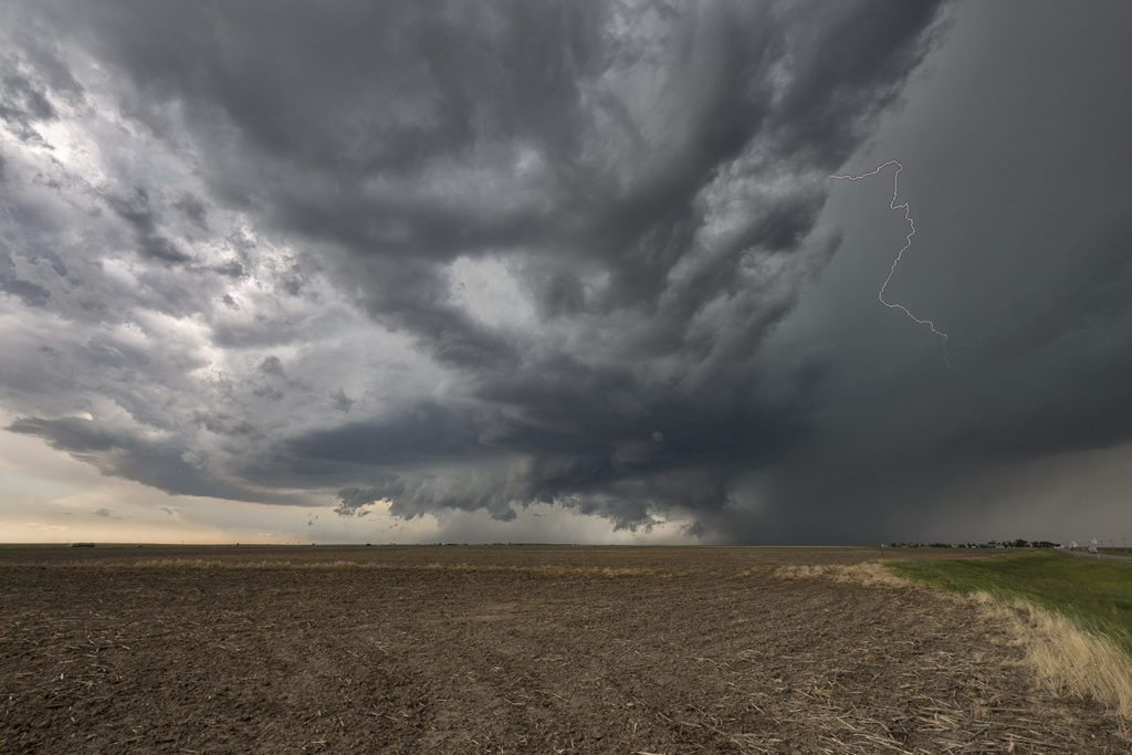
June 12th Carpenter, Wyoming Strong Tornado
June 12, 2017….it started out like any other day. Too busy to think, let alone chase and then load a trailer for a big show in Amarillo, TX that I was leaving for the next day. But I did and the reward was worth the, “Am I going to get there in time” thoughts I was having. And that is because I didn’t leave Denver until 2:15PM. Yes, 2:15pm. And no, there wasn’t any speeding involved. Just pure LUCK. That and Starbucks, YES, you read that right. I stopped at Starbucks on my way to catching the Carpenter, Wyoming tornado.
Roger had told me that morning, as well as several days before, that if there was “ANY WAY YOU CAN CHASE”, how many times have I heard that phrase???…I should do it. I was torn on going as I also had a gal coming in from Yuma, AZ that afternoon that was going to TX with me the next day. It wasn’t until noon that day that I just told her I couldn’t resist the chase. The sky in Colorado was showing me I HAD to chase! Sooooo, I did. After contemplating on which route would get me north the quickest, I soon decided to high tail it on up I-25 and then north on highway 85 from I-76. My first stop was in Brighton, CO for a STARBUCKS. What???? With a sky like THAT…I stopped??? Can’t a girl eat, drink and chase all at the same time???!!! As I sat ordering my drink and munchies, I watched as a HUGE towering CU was going up directly to my N/NW and man was it GROWING. As I watched radar, I could soon tell I wasn’t going to make that first cell but little booger blowing up on the south side was soon showing me I had a chance! So with renewed hope, I took off with my Grande Very Berry Hibiscus and headed north. And then it happened…that darn Highway 85 construction happened. UGH. I said MANY cuss words as the 45mph speed limit was starting to give me heart palpitations. I soon realized that if it wasn’t meant to be, well, it just wasn’t meant to be. BUT…I DO NOT GIVE UP EASILY!!! I eventually conquered the chase that day, as I remained steadfast with trusty ol’ Radarscope…yes, I chase mostly by Radarscope, and Google maps by my side. I managed to chase the sequence of events that day as instinct lead me along several dirt roads, a herd of cows and eventually to the promise land of Carpenter, Wyoming where I eventually watched an a “drill bit” tornado that lead itself in to an incredible rope out. I also came across the damage path where a barn roof was laying in the middle of road. I did stop to make sure no one was hurt and when I realized all were OK and that hissing sound wasn’t a snake in the grass, it was high time to boogie on! Several houses had damage but from what I understand, no one was injured.
And if you are wondering, Roger and I like to cover 2 target areas, when and if needed. He remained up north and managed to catch tornadoes with his tour group, as I fed him images from my solo chase. My chase ended that day when my gps went out and I had NO idea where I was at. I chuckled as I knew if I just headed towards those Rocky Mts, I would eventually find my way home. Most chasers continued on that day and went north with what ended up being a beautiful supercell. (check Roger’s chase account from this day) But as you have read, I had a huge show to cover the next day in Amarillo, TX and had to get home. I hope you enjoy the sequence of events that unfolded for me on June 12, 2017 as I sure had fun with my Starbucks, Radarscope and that never-ending feeling of, “Gotta get there!!!”.
Caryn Hill
SLT Co-owner
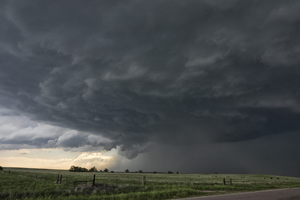
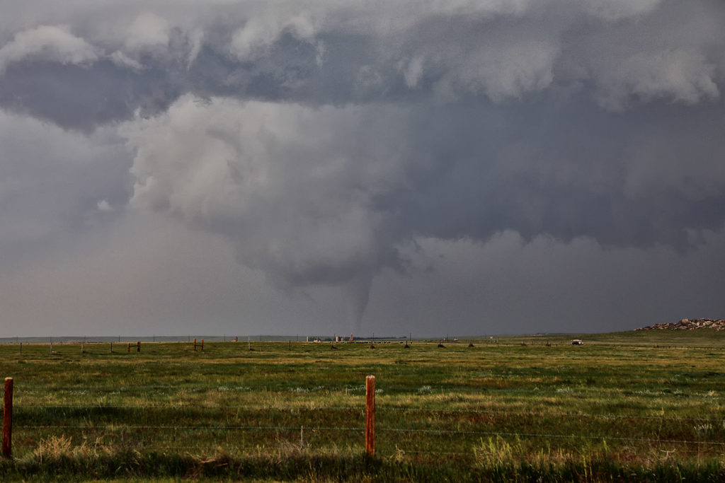
June 12th Wyoming and Nebraska Tornadic Supercells
June 12th had the potential to be a record breaking event for eastern Wyoming, as well as the Nebraska panhandle. At the end of the day numerous tornadoes formed across the landscape! Very high moisture, extreme CAPE, very strong wind shear and upslope into the Laramie Range would cause several supercells to form. We chased the first supercell of the day, which produced a couple of tornadoes near Lingle, Wyoming. This storm was tornado warned for many hours as it moved northeast across eastern Wyoming and western Nebraska.
Later we would drop south towards Scottsbluff, Nebraska and catch a tornadic storm that came out of Colorado (See the next chase account from SLT co-owner Caryn Hill!!!!!). We witnessed 3 tornadoes from this storm. Later in it’s life cycle, it would become one of the most photogenic supercells of 2017 as it rolled across the Nebraska Sand Hills headed for southern South Dakota where it dissipated after midnight. For an event to be this strong, this far west, it was almost unprecedented. SPC even had a Moderate Risk for eastern Wyoming, only the second one in history! They were also forecasting strong tornadoes, which did occur. Hail and lightning in these monster supercells were incredible as well! Enjoy the photos!!!!
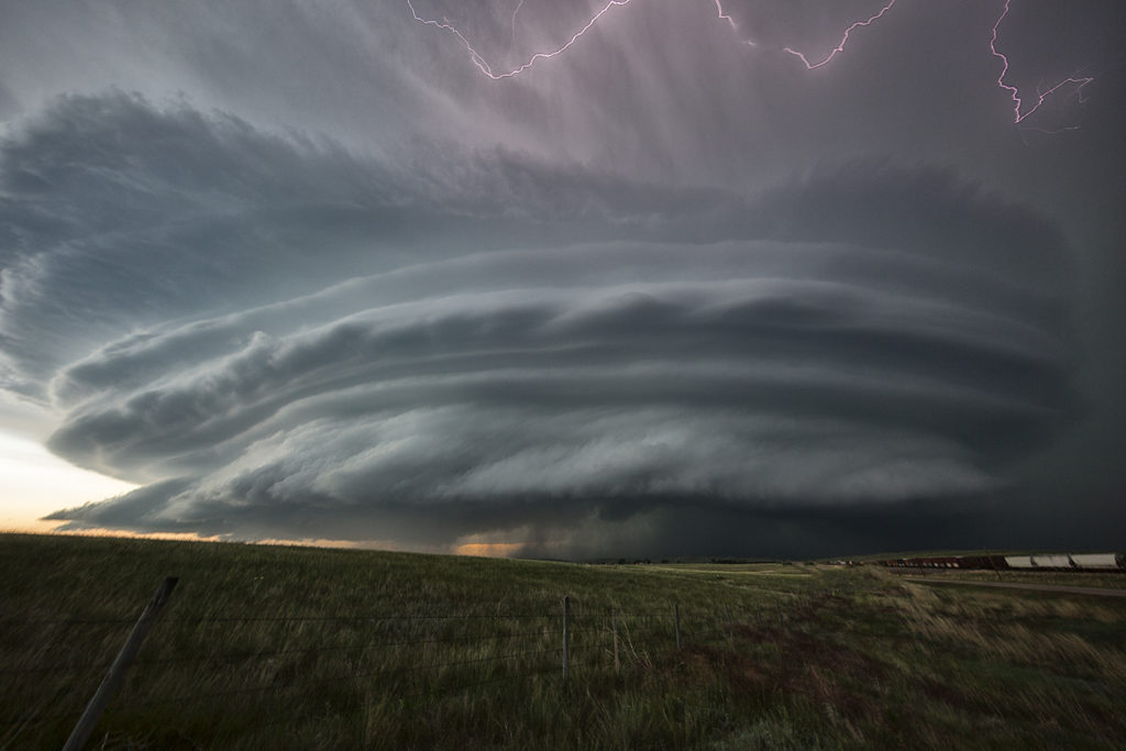
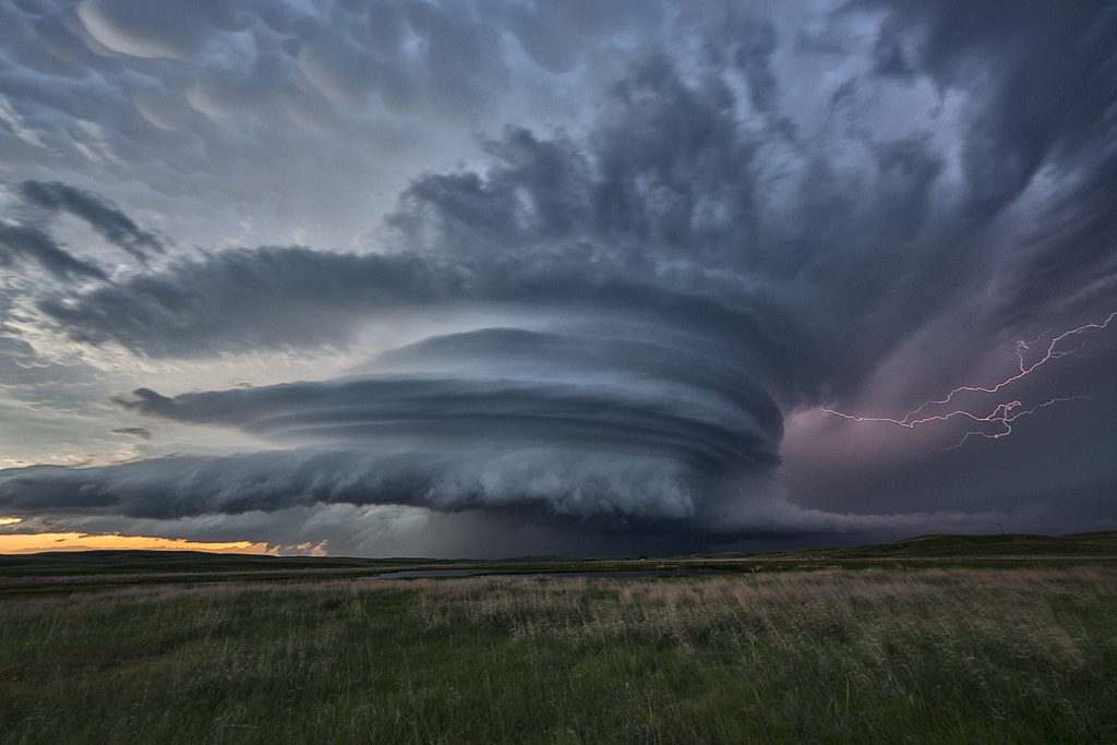
May 31st Northwest Kansas Tornado Warned Supercell
May 31st was an interesting day. An outflow boundary stretched the entire length of the state of Kansas. Along and just north of this boundary strong shear, decent moisture and good instability would develop. The best moisture, but worst shear was in southeast Kansas. That’s where many folks would chase. We decided to head to far northwest Kansas and play just north of the boundary in the upslope flow. It was a move that paid of well. Tour #5 and Photo Tour #2 were treated to one of the best supercells of 2017! This storm went on for many hours and was occasionally tornado warned as well. The inflow into this beast was incredible! Storm structure quickly became top notch as the supercell organized and grew late afternoon. It produced softball size hail and 80 mph winds. We almost had the cell to ourselves! The storm weakened by late evening as it approached Garden City, Kansas as we checked in to our hotel for the night. A great chase! Everyone thoroughly enjoyed this strong supercell!
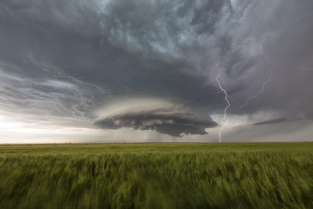
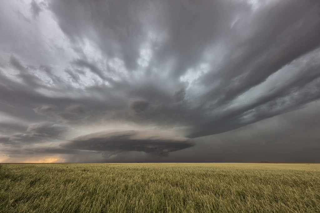
May 26th Eastern Colorado Tornado Warned Supercell
May 26th took us to eastern Colorado to play upslope off the Palmer Divide. Strong shear, decent moisture and instability would set the stage for several severe storms. The best of these would form and move into far east central Colorado by later afternoon. Although higher based, this supercell would become tornado warned and produce a couple brief spin ups. Hail was up to baseball sized and the structure was very nice. The storm eventually merged into a cluster as it moved into western Kansas during the evening.