Tag Archives | Kansas

May 1st, 2008 Kansas Supercells

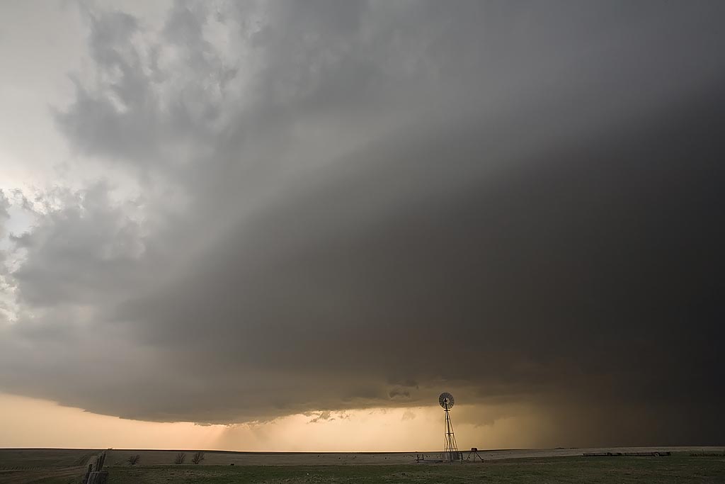
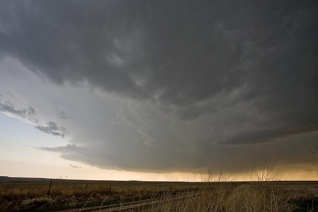
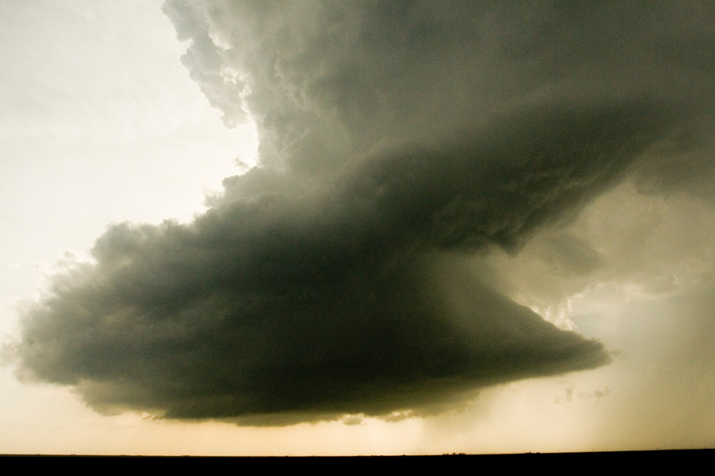
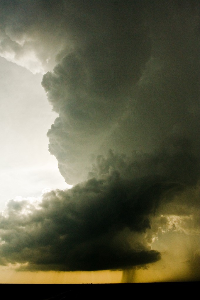
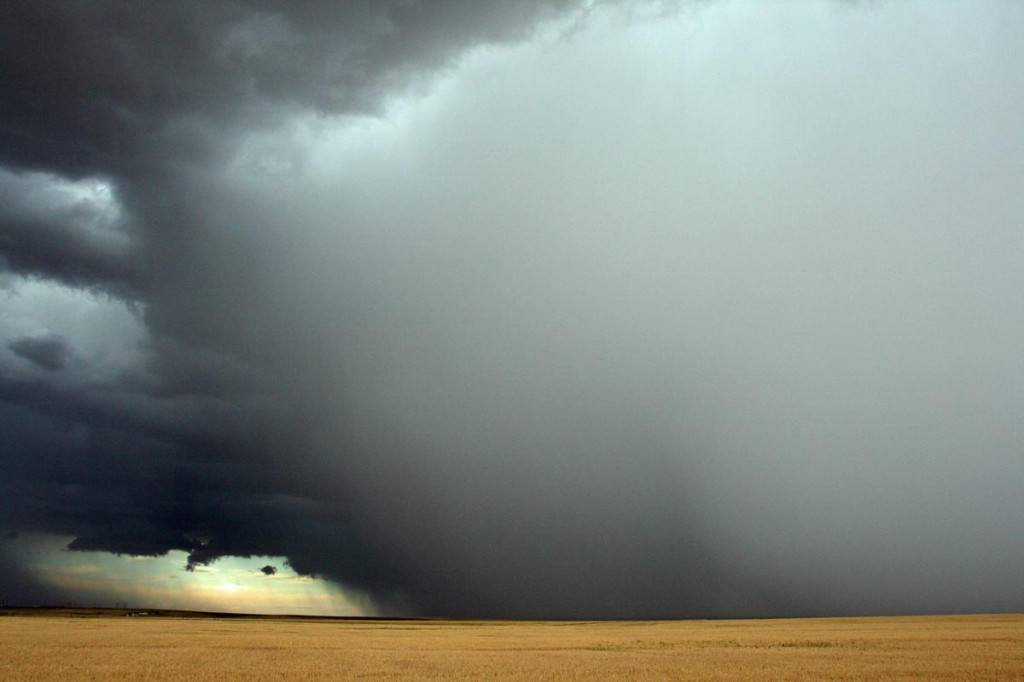
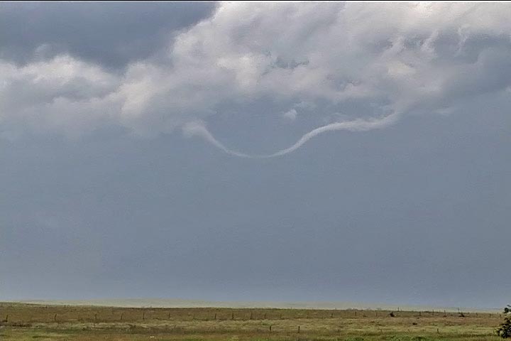
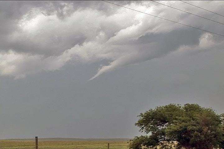
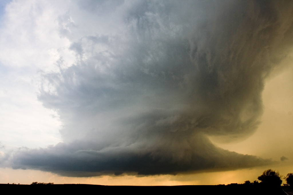
May 1st promised a set up that contained good shear, a sharpening dryline, but questionable moisture. All indications were that storms would form, initially high based, over southeast Kansas and possibly northern Oklahoma. As the evening went on, models showed moisture deepening and storms becoming quite intense. We played the area around Independence, Kansas. By late afternoon, storms formed, a few becoming supercells. They quickly became a cluster of supercells, with embedded mesocyclones, but just couldn’t get the job done to produce a tornado.

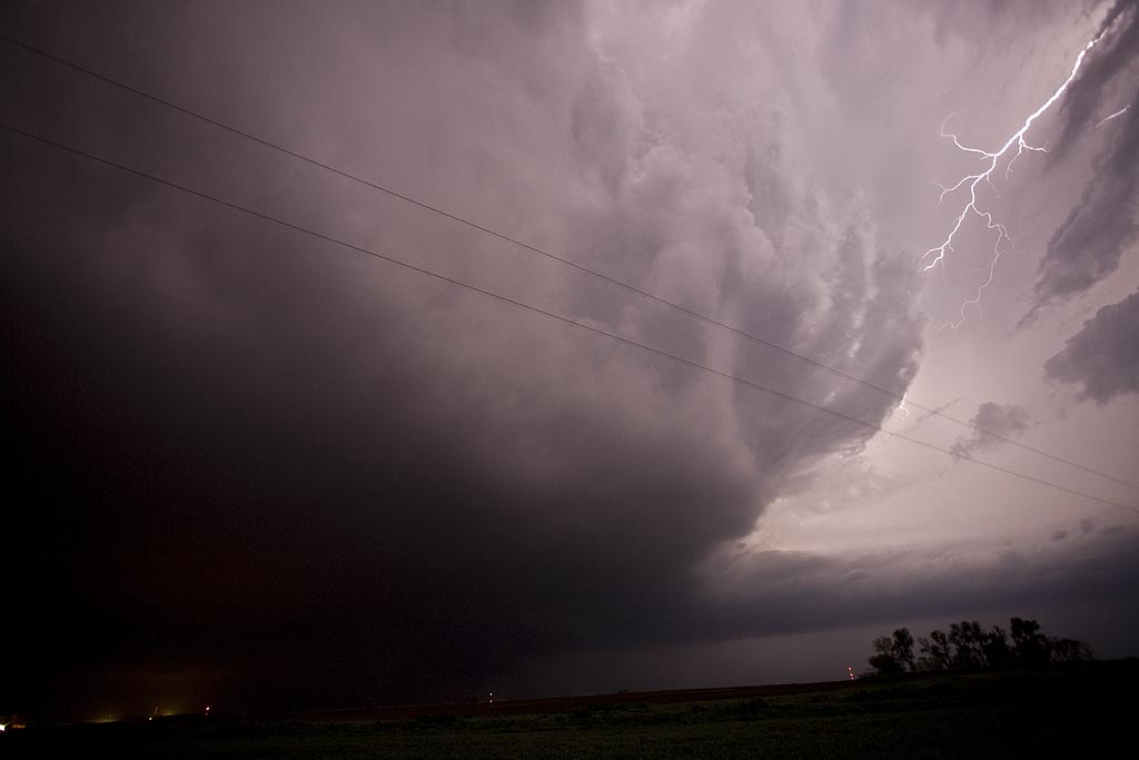
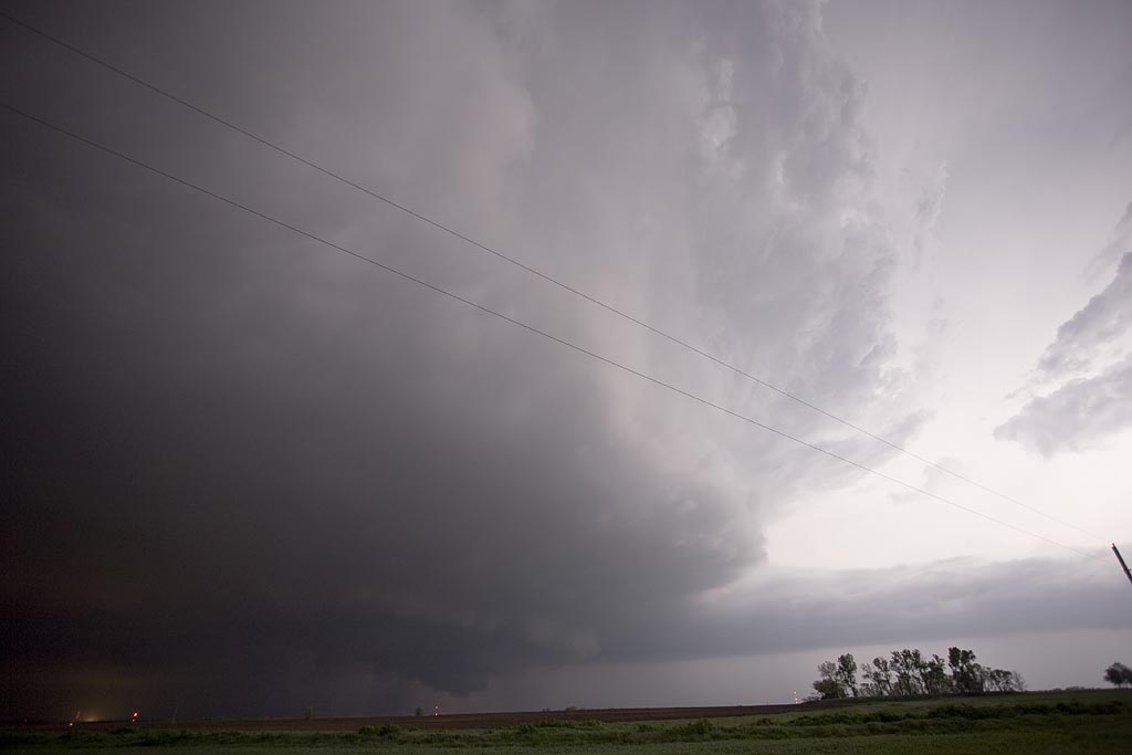
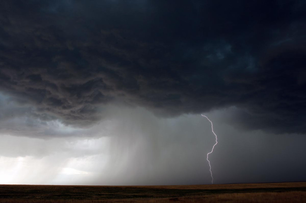
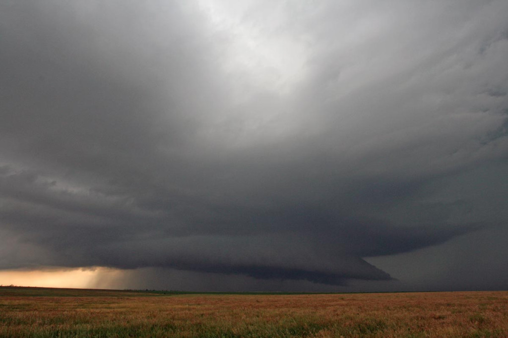
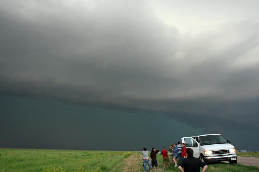
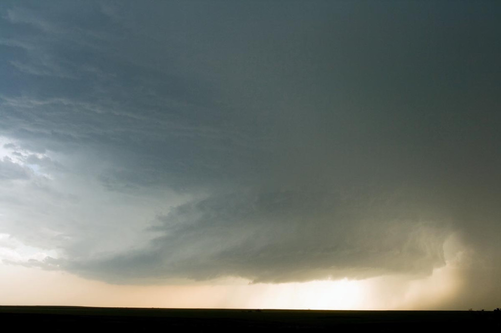
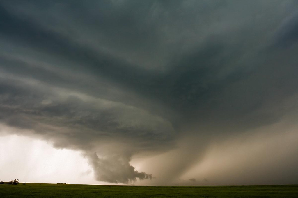
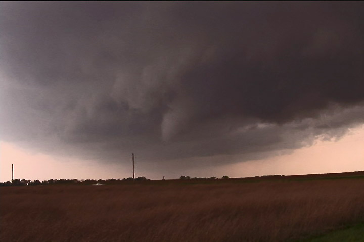
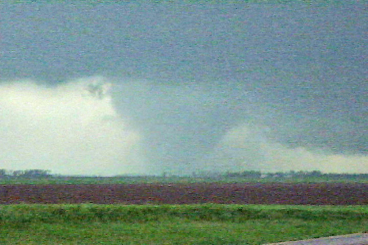
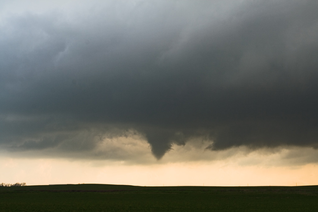
A couple of isolated supercells developed in northern Oklahoma and one produced several tornadoes not far from Stillwater. However, we just couldn’t get there to chase it. Finally after dark, one intense supercell, tornado warned, developed on the tail end of the line of storms near Altoona, Kansas. Photos and video revealed a bowl shaped wall cloud, possible funnel, but nothing could be confirmed touching down.

April 24th, 2008 Northwest Kansas Supercells and Tornado

April 24th was going to be a touch and go day. Strong shear, but sparse moisture would be forecast in Kansas, while much better moisture, but a strong cap would occur in Oklahoma. Hence the ages old question, where to chase. I finally decided that north would be best where a weaker cap would certainly result in initiation, even with meager dewpoints in the mid 50s. We arrived in Colby as two high based supercells developed. We would stay with these storms throughout the evening as one storm would become dominant. It even produced a nighttime tornado that shows up clearly at a high ISO. After we left it, it produced a 1/3 to 1/2 mile wide tornado near Beloit after midnight. We awoke the next morning in Kearney, Nebraska to snow.

April 23, 2007 Texas Panhandle LP Storm

April 23rd was a very disappointing day for me. I had two targets, one in southwest Kansas and the other in the Texas panhandle. I chose the wrong one, the Texas panhandle. A nice rotating storm that was tornado warned developed south of Amarillo and moved northeast. What I failed to anaylize was that earlier convection spewed out cold air that was pulled into this storm, thus never allowing it to become as intense as it could have. It stayed in the LP state for its entire life, while two other storms in western Kansas became tornadic. Just goes to show you that you win some and you lose some!

August 7th, 2007 Colorado Severe Storms

August 7th was a set up where there was little shear, but good moisture and instability. Flow was weak, but enough to push storms that developed off the mountains eastward onto the plains. A line of storms developed from outflow boundaries originating with the mountain storms. These storms congealed into a wind machine as the marched across eastern Colorado into western Kansas. They produced marginal hail, winds to 75 mph, and awesome lightning.

June 19th, 2007 Kansas HP Supercell

After spending the night in Hays, Kansas, June 19th’s catch was an easy one. We were on the first cell of the day, a beautiful tornado warned classic supercell near Hill City. A second supercell developed to its south and became the show of the day. It right turned and built southward all the way south of Dodge City. However the original supercell produced a tornado that we did not see, since we had blasted south in front of the new supercell. I do not regret missing this tornado. You almost had to be in the wrong place to see it! This was one of the largest HP storms of the year.

June 13th, 2007 Ashland, Kansas Tornadic Supercell

June 13th ended up being a better chase day than I thought it would be. We started in Valentine, Nebraska after our South Dakota chase the day before and had to blast south quickly to get into position for this day. A boundary, decent shear, decent moisture and instability would set the stage for what we thought would be landspouts this day. Instead, we got a northwest moving supercell that produced baseball sized hail and a brief tornado near Ashland, Kansas.

May 22nd, 2007 Hill City, Kansas Tornadic Supercells

May 22nd brought us to north central Kansas to play along the dryline. By mid afternoon it became apparent that north central Kansas would become the focal point for strong instability, good convergence, good shear and fair moisture. Enough to generate a few supercells, one of which became tornadic. We had great positioning for them all, and at one point in time we had 3 in our view at once. Quite a sight! The photo above, was from the tornadic storm just southwest of Hill City. This storm produced two tornadoes, both of which were fairly brief in nature, less than 5 minutes each.

May 5th, 2007 Kansas Tornadofest

May 5th was a High Risk day from the SPC. Everything seemed to be coming together for a significant tornado outbreak. We decided to target storms in southwest Kansas east of Dodge City. A strong dry punch, intense wind shear and strong instability would set the stage for tornadic supercells. Storms struggled till early evening with the strong shear ripping apart about any storm that tried forming. Finally a supercell developed near Pratt that became tornado warned. It produced a weak tornado and many funnel clouds. About an hour later, several supercells developed and produced numerous tornadoes. We were able to intercept 6 more tornadoes, including a few that were strong.

April 24, 2007 Nickerson, KS Tornadic Supercell

April 24th was a day that held great promise. SPC had a large MODERATE RISK all across the central and southern plains. I decided to play the area along the dryline/warm front intersection in central Kansas. We waited and waited and waited for things to finally get going. Every updraft that went up suffered from entrainment issues and finally the tail end updraft near Nickerson went crazy. This storm developed beautiful structure and produced at least a half dozen weak tornadoes.

February 23rd and 24th, 2007 Texas Panhandle and Central Kansas Supercells

I can’t believe the 2007 chase season has started for me. The models had shown a great potential pattern for this two day period for several days, so I couldn’t resist heading out to clear the wintertime cobwebs from my head. On the early morning of February 23rd,  I picked up Jon Merage, who owns the copyright to some of these photos (web.mac.com/mistertwister), two SLT Local customers, and off we went. My target was the Texas panhandle east of Amarillo. Everything showed the dryline sharpening up there, along with decent moisture and great shear. We arrived to see shallow cumulus towers developing on the dryline and soon the first weak cbs developed. Several storms formed southeast of Amarillo, with each one getting stronger with each successive attempt. A tornado watch was soon issued. Finally a few weak supercells developed. At 5:50 PM one storm approached I-40 near McLean and produced an 11 minute long tornado, that skipped along the ground, occasionally making contact and producing a dirt/debris cloud. As the tornado roped out, my van blew an oil line (that had JUST been replaced!), and that finished our evening. After having the van towed back to Amarillo to a Ford dealer we rented an SUV and continued our chase.

February 24th looked like a decent cold core chase in Kansas. By late morning we arrived in the Wichita area and around 11:30 a tornado watch was issued. You could see serious convection developing along the dryline/pacific front intersection and see the towers moving northwest and intensifying. We headed north from El Dorado to the Florence/Marion area as a tornado warning was issued. A tower directly in front of us was quite low and rotating wildly. A nub funnel appeared, but never did touch down. We continued north with the storm and then drifted northwest towards Abilene. Several low topped storms developed, with a couple becoming severe and even tornado warned. We headed west on I-70 to Solomon as a very low based storm developed. It was right on the boundary with the now occluding low and tried everything it could to produce a tornado. Numerous funnels developed and extended halfway to the ground. At one point we were under the shear line of this cell and directly in front of us winds cranked up quickly out of the west. Directly north of that, winds were crazy out of the east. Tumbleweeds, corn stalks and hay were pulled up into the air!  We think there was a weak tornadic circulation on the ground! Directly overhead there was strong cyclonic rotation with a rotating lowering/funnel! Shortly afterwards the cell weakened as it moved into the cold air. We ended up spending the night in Salina as all roads back into Colorado were closed due to blizzard conditions.