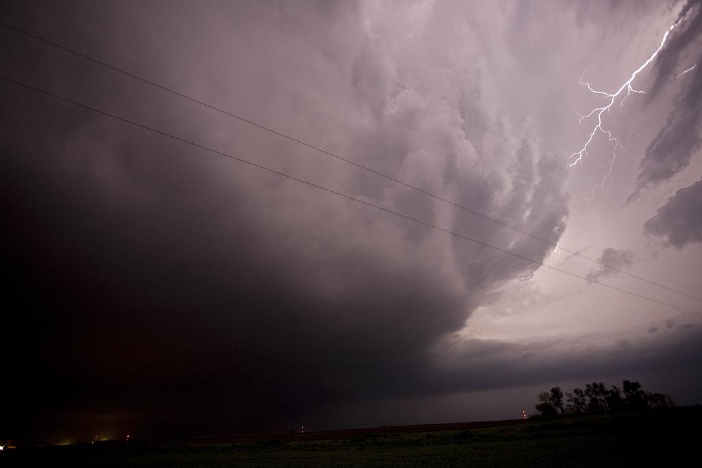
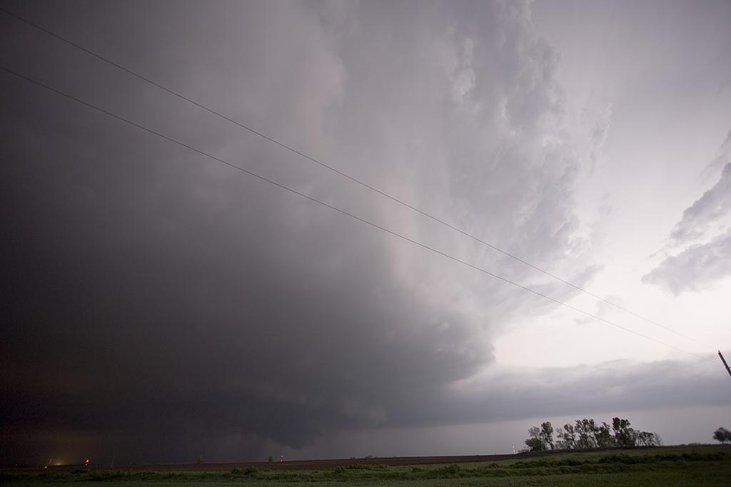
May 1st, 2008 Kansas Supercells
May 1st promised a set up that contained good shear, a sharpening dryline, but questionable moisture. All indications were that storms would form, initially high based, over southeast Kansas and possibly northern Oklahoma. As the evening went on, models showed moisture deepening and storms becoming quite intense. We played the area around Independence, Kansas. By late afternoon, storms formed, a few becoming supercells. They quickly became a cluster of supercells, with embedded mesocyclones, but just couldn’t get the job done to produce a tornado.
A couple of isolated supercells developed in northern Oklahoma and one produced several tornadoes not far from Stillwater. However, we just couldn’t get there to chase it. Finally after dark, one intense supercell, tornado warned, developed on the tail end of the line of storms near Altoona, Kansas. Photos and video revealed a bowl shaped wall cloud, possible funnel, but nothing could be confirmed touching down.


No comments yet.