
April 24th, 2008 Northwest Kansas Supercells and Tornado
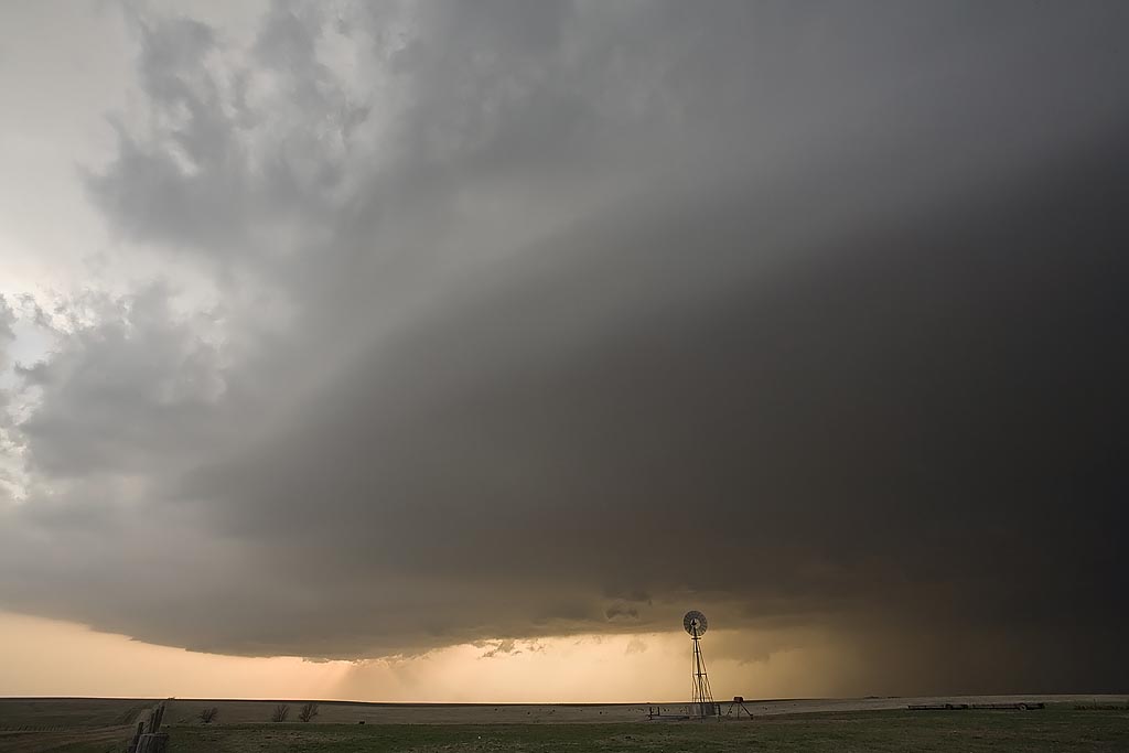
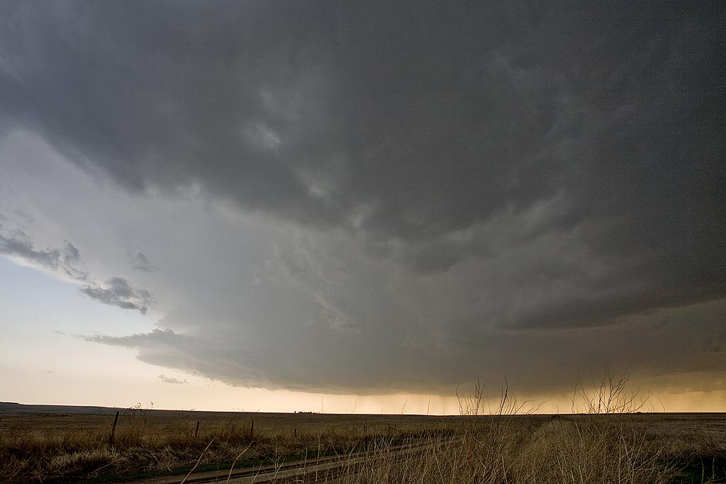
April 24th was going to be a touch and go day. Strong shear, but sparse moisture would be forecast in Kansas, while much better moisture, but a strong cap would occur in Oklahoma. Hence the ages old question, where to chase. I finally decided that north would be best where a weaker cap would certainly result in initiation, even with meager dewpoints in the mid 50s. We arrived in Colby as two high based supercells developed. We would stay with these storms throughout the evening as one storm would become dominant. It even produced a nighttime tornado that shows up clearly at a high ISO. After we left it, it produced a 1/3 to 1/2 mile wide tornado near Beloit after midnight. We awoke the next morning in Kearney, Nebraska to snow.
No comments yet.