
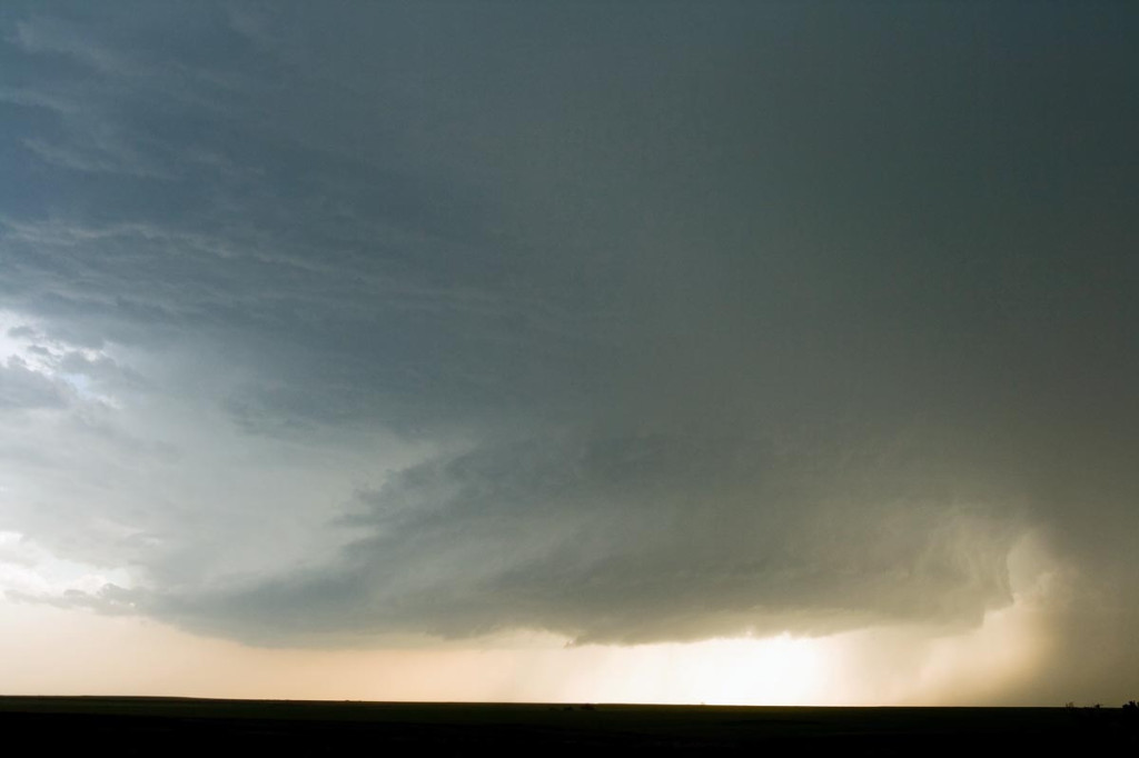
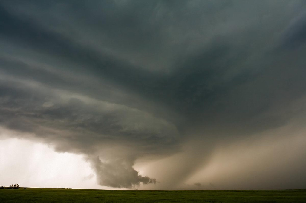
May 22nd, 2007 Hill City, Kansas Tornadic Supercells
May 22nd brought us to north central Kansas to play along the dryline. By mid afternoon it became apparent that north central Kansas would become the focal point for strong instability, good convergence, good shear and fair moisture. Enough to generate a few supercells, one of which became tornadic. We had great positioning for them all, and at one point in time we had 3 in our view at once. Quite a sight! The photo above, was from the tornadic storm just southwest of Hill City. This storm produced two tornadoes, both of which were fairly brief in nature, less than 5 minutes each.
No comments yet.