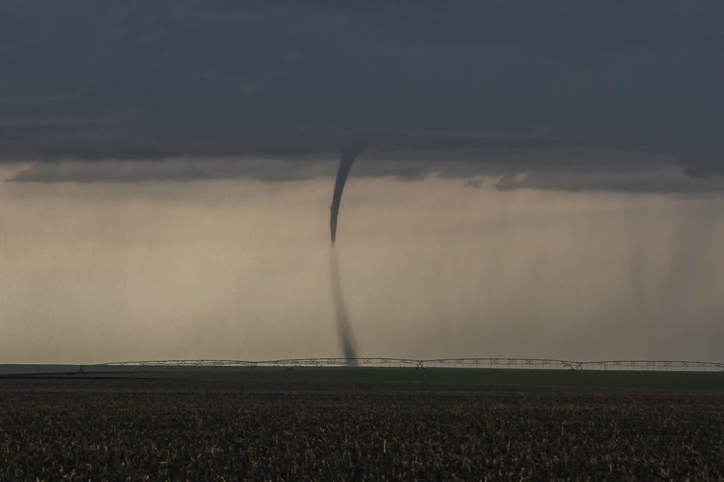
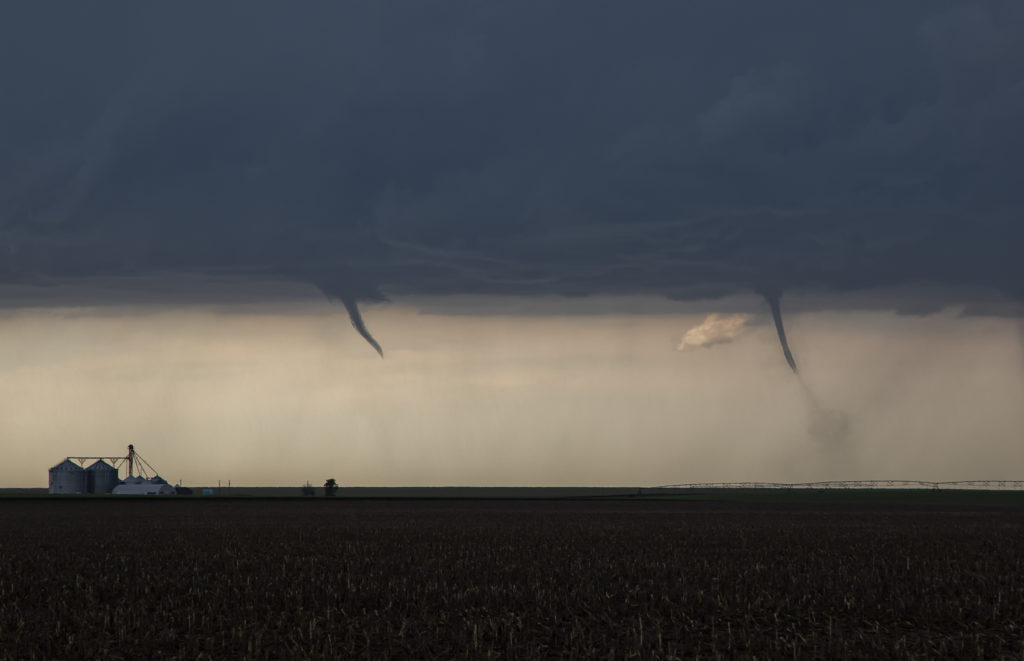
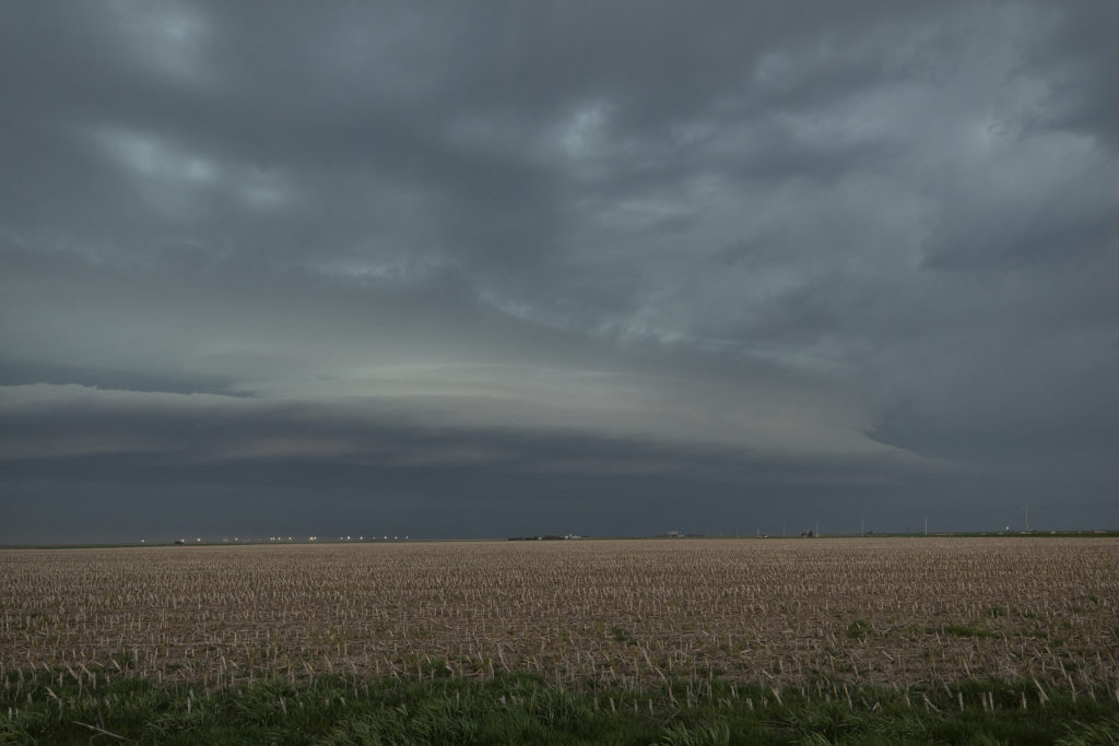
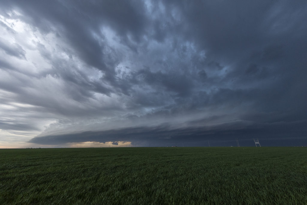
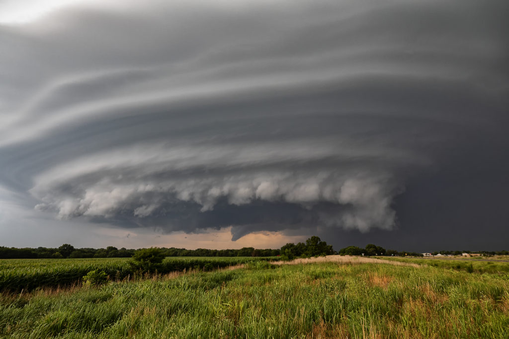
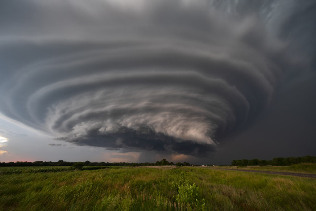
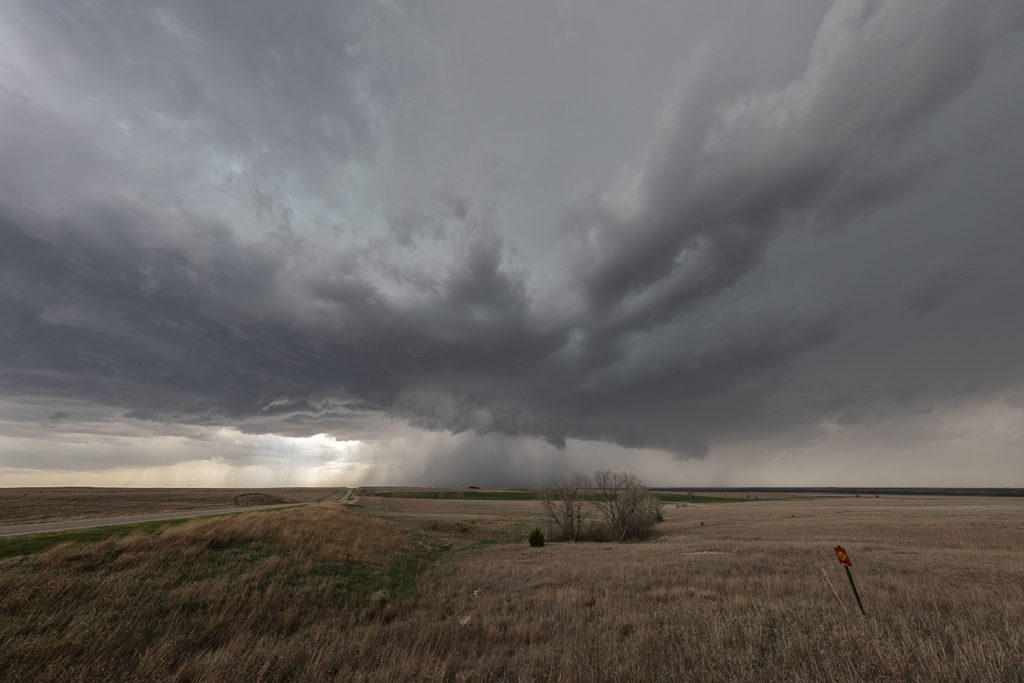
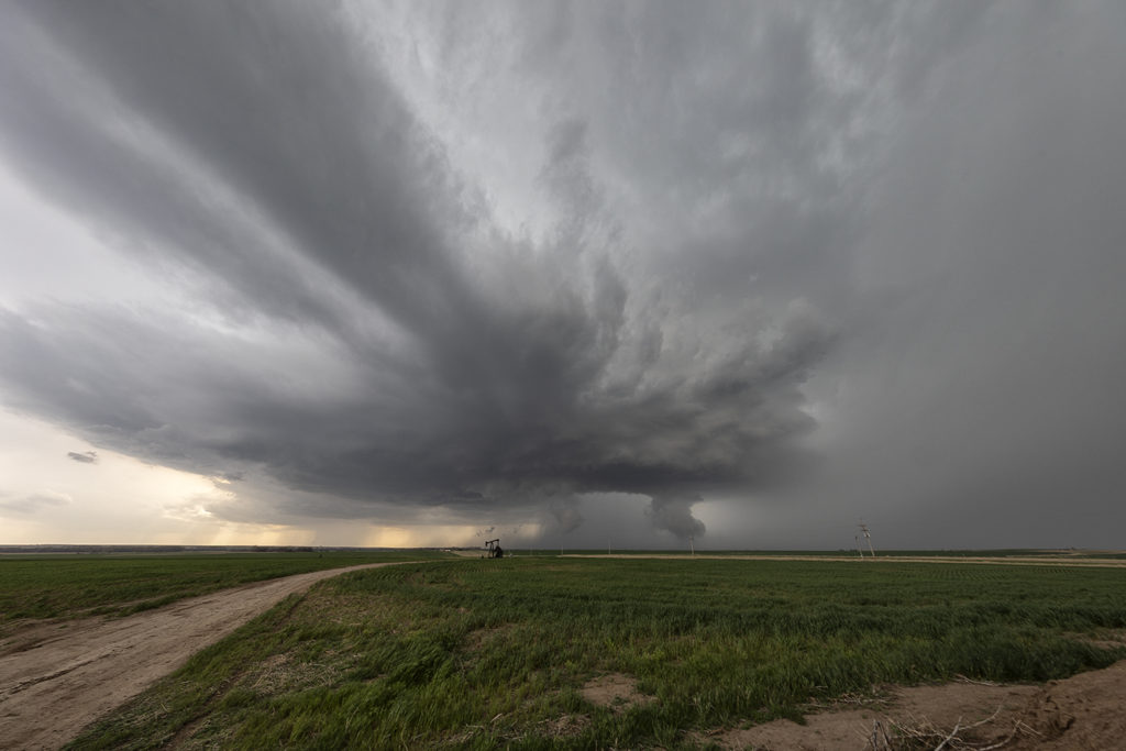
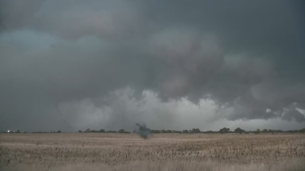
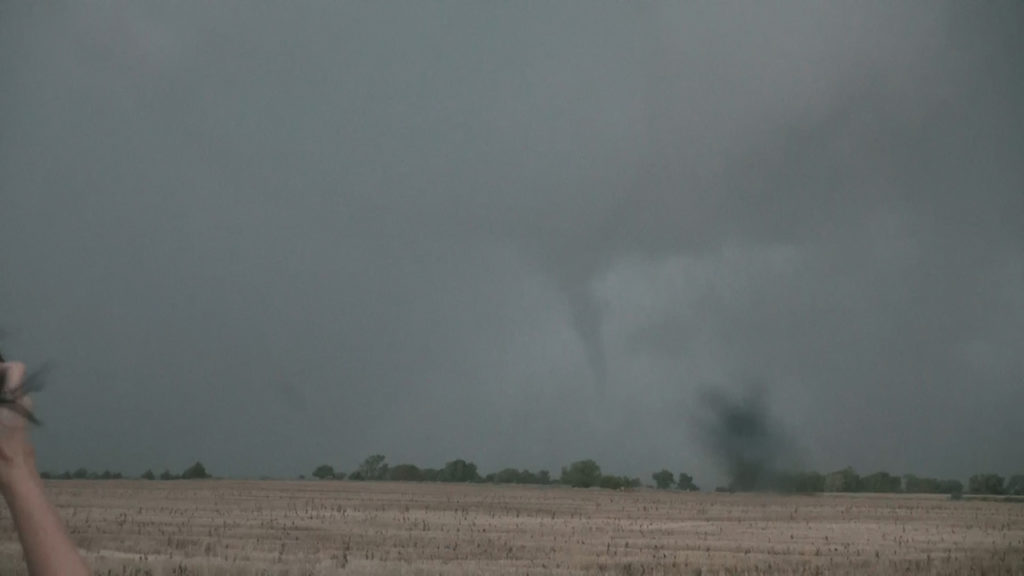
June 8th continued our streak of tornadoes for each tour! Two twisters formed north of Goodland along a boundary. Decent instability and moisture, as well as a wind shift boundary, would provide all that was needed to get supercells to form. One tornado formed late afternoon, and soon a second would also form as the first was dissipating. They both were on the ground for over 5 minutes as they slowly drifted eastward along the boundary. They were quite photogenic as well!
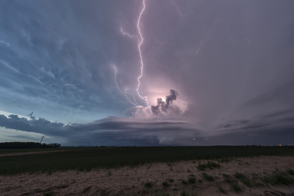
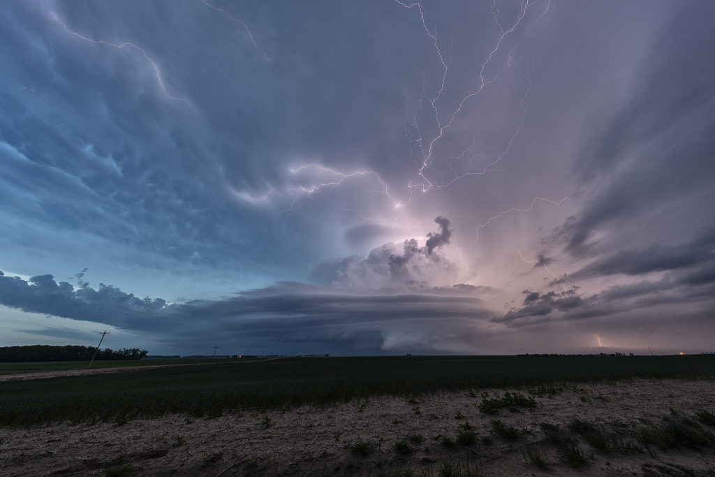
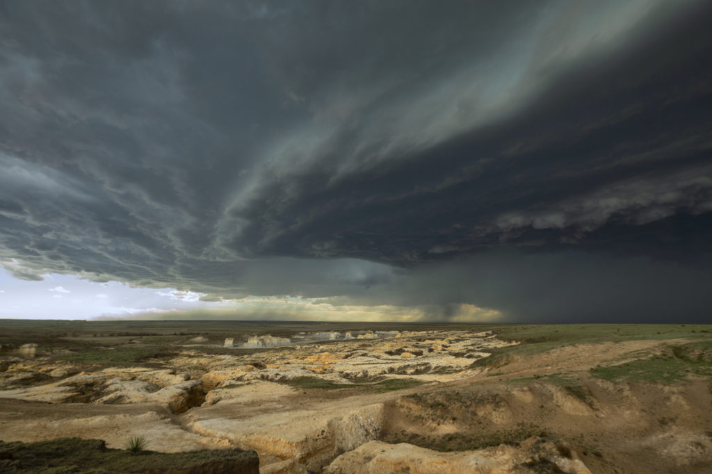
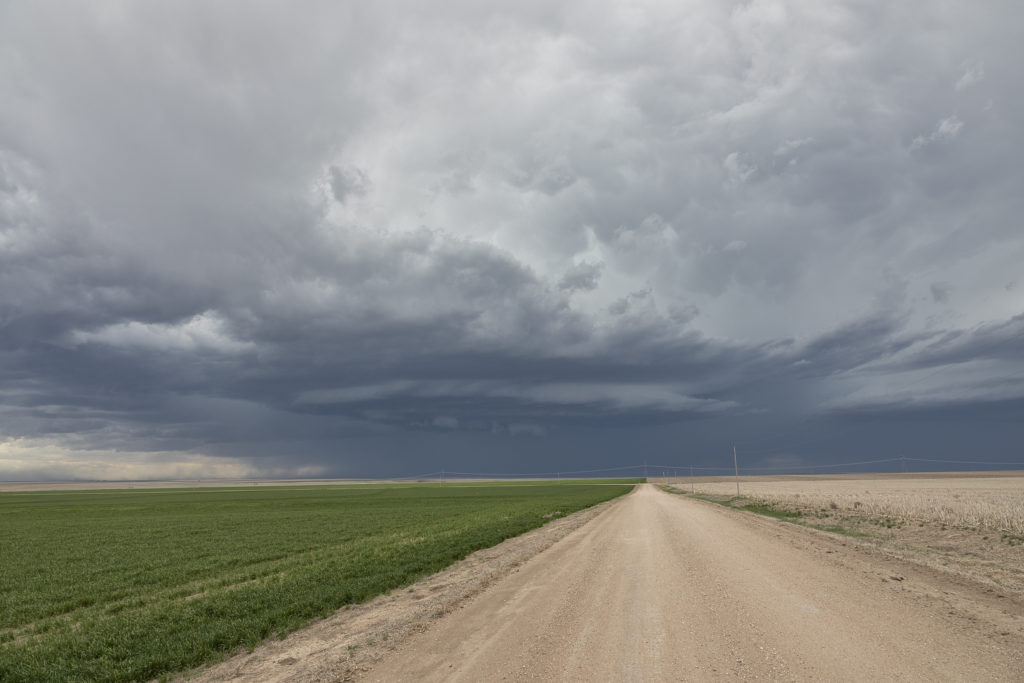
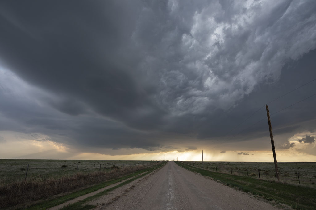
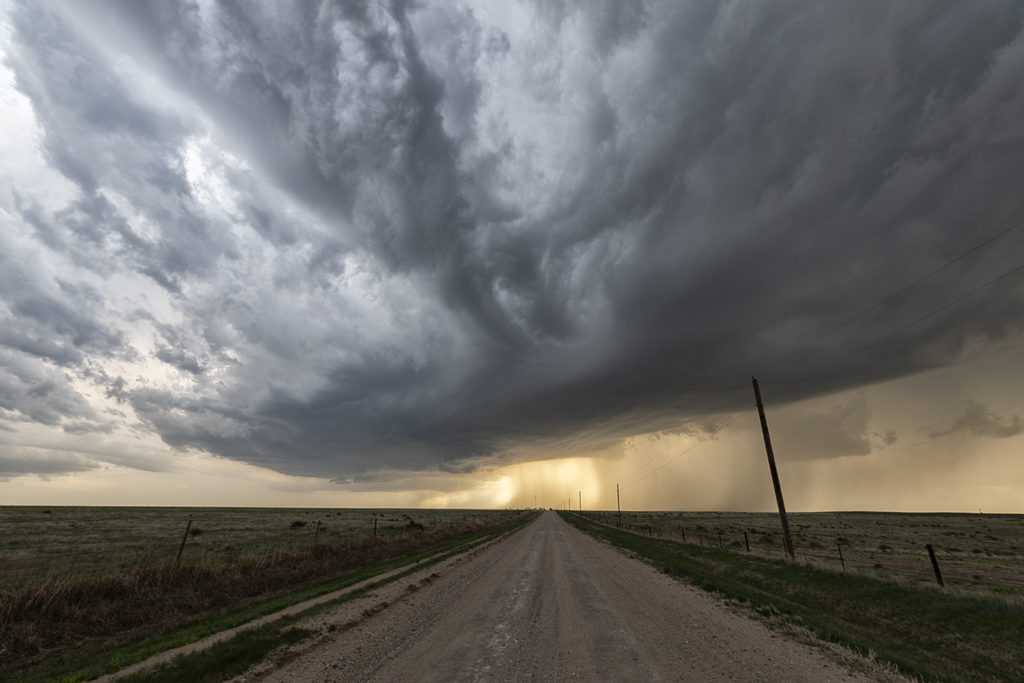
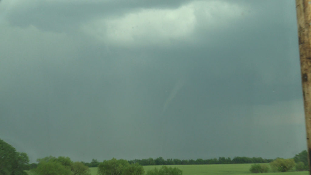
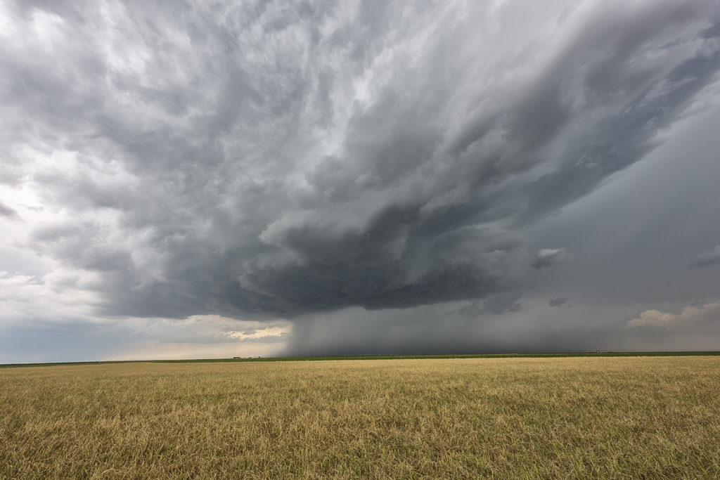
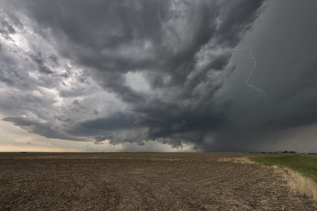
Later in the evening, a supercell came off the higher terrain of eastern Colorado and was very photogenic. Near Flagler, CO the storm had beautiful structure and quite nice colors too! Even a funnel formed briefly under the inflow side of the updraft! After a couple hours the storm eventually weakened as it moved into more stable air, leaving behind an amazing mammatus display! A great way to start the tour!