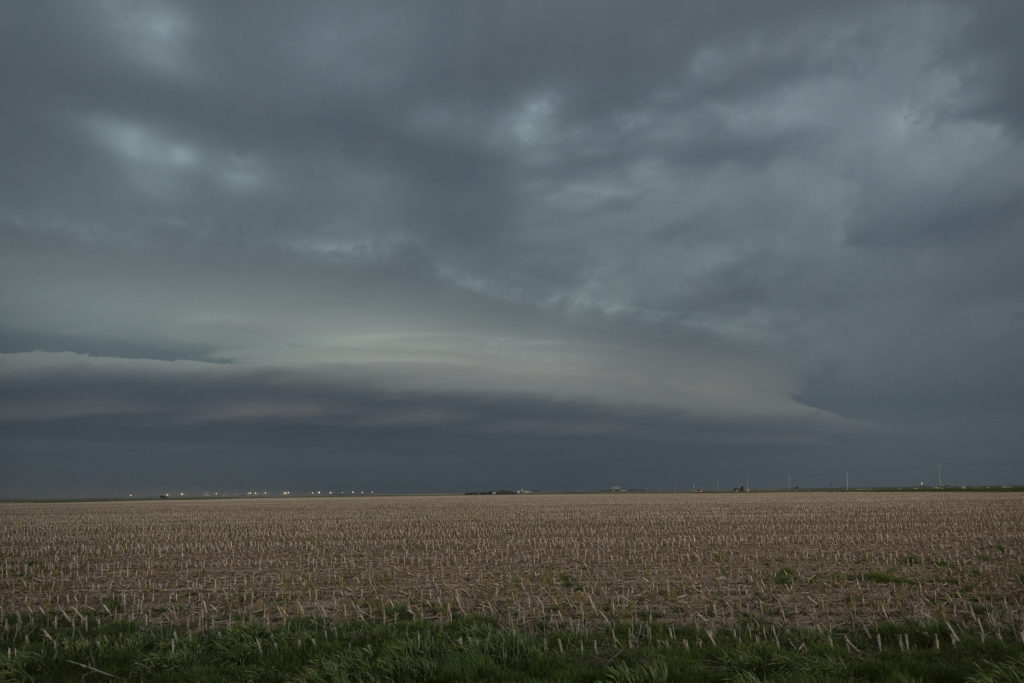
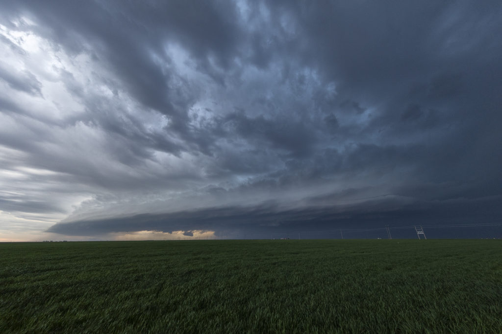
April 28th Central Kansas Tornado Warned Supercell
April 28th had potential. A warm front was draped across northern Kansas, while a moisture gradient/boundary was draped across southern Kansas. Both areas appeared to be primed for severe weather. Strong shear, good moisture, moderate CAPE and lift along the boundaries would result in intense severe thunderstorms along the northern boundary. The southern boundary stayed capped through the day. We went with the northern boundary and intercepted a very pretty, INSANELY electrified, tornado warned supercell not far from Sanford, Kansas. The storm had latched onto the boundary and spun hard, becoming tornado warned for hours. It also had baseball sized hail and 80 mph winds. We stayed with the storm to Ness City, Kansas and left it as it bowed out and eventually weakened. A great day and a fun and exciting chase for all the guests! Enjoy the pics!


No comments yet.