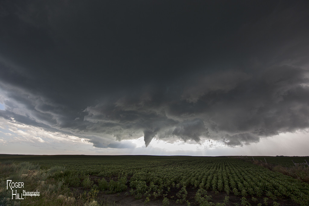
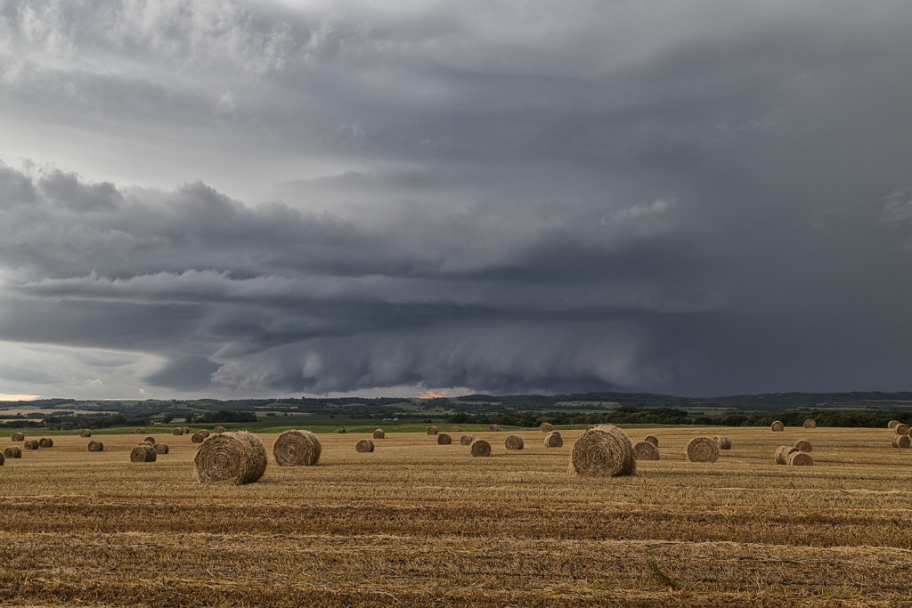
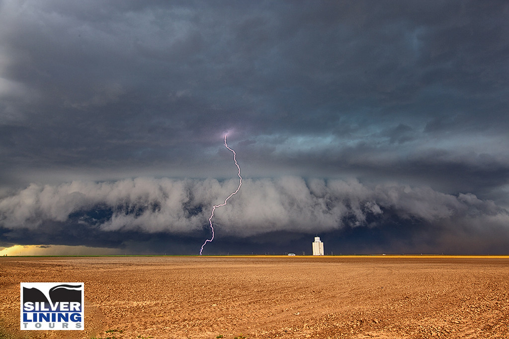
Each year, in conjunction with our sister website, www.southwestphotographytours.com, we spend 2 weeks in Arizona conducting our popular Desert Thunder Tours. We keep these as small one van tours, with 6 guests. The Arizona monsoon season peaks in July and August, with southern Arizona receiving the brunt of the thunderstorm activity. We had a very successful monsoon season in 2017, with storms on 75% of the days! We travel anywhere we believe the most intense, and pretty, storms will occur. We spent time in southeast, southern and central Arizona, and even in southwest New Mexico. We photographed storms over Saguaro National Park, Kitt Peak, the desert floors, Sedona, Cathedral Rock, the Chiricahuas, the Superstition Mountains and many others. Some of the most spectacular lightning in the country occurs here each season! Below are many photos of the events we captured while on tour this season. We hope you enjoy the photos and we hope to see you with us on tour in the years ahead!
July 13th Central Alberta, Canada Tornadic Supercell
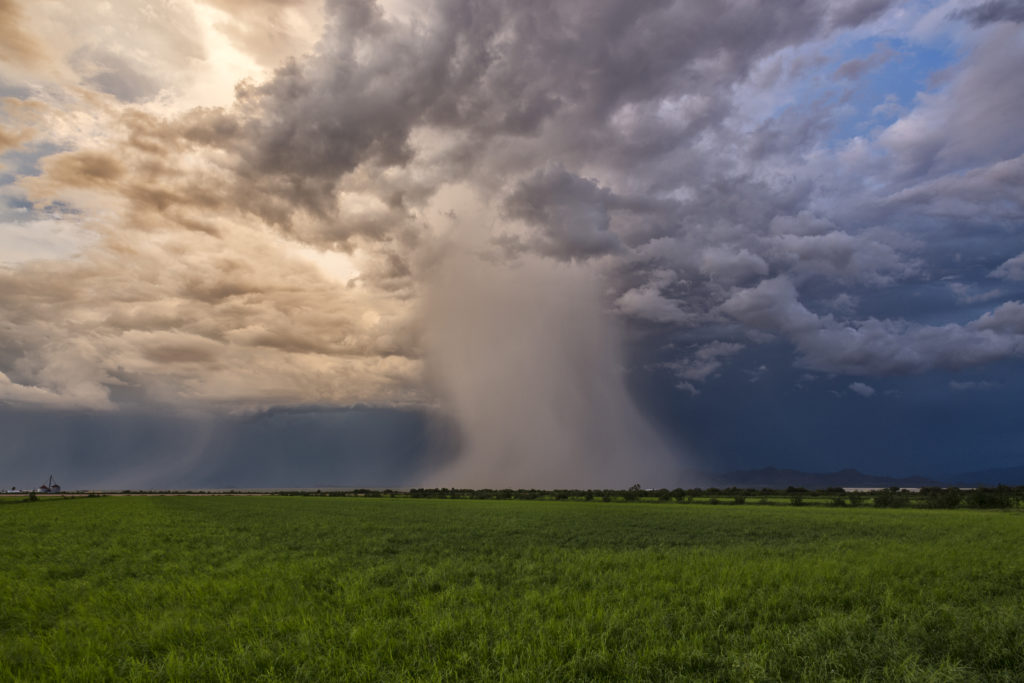
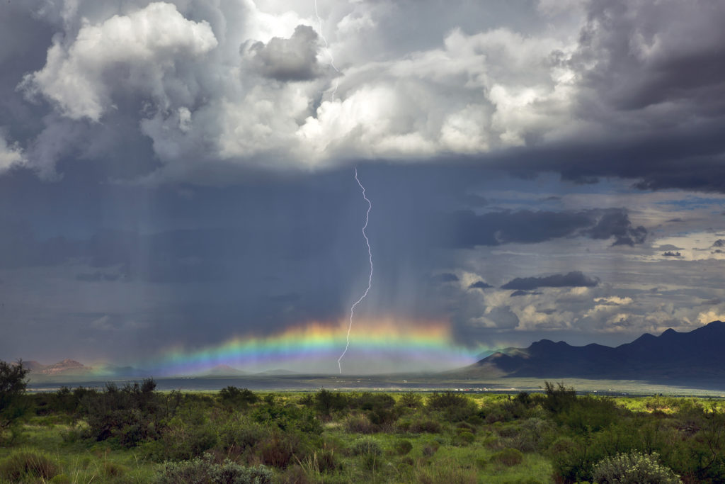
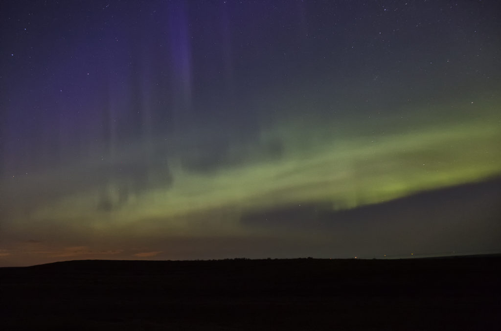
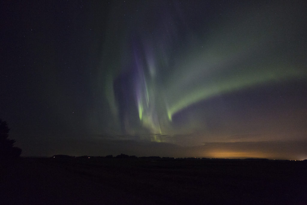
After our adventure in North Dakota on July 11th we knew we had to head well into Canada. A strong upper level low with great flow aloft, good moisture and instability, and lift along a dry line /Canadian Rockies foothills, would keep us in this region for several days. However, July 13th was by far the best set up in the area! We spent several nights in Red Deer, Alberta and chased west and north of there each day, capturing everything from supercells and tornadoes, great lightning, large hail, clusters of storms, and even a superb Aurora Borealis display on night!
July 13th looked like the peak of action and it certainly was. We targeted a boundary and foothills intersection west of Drayton Valley and we were on the storm as it developed west of there by mid afternoon. We watched the storm cycle several times until it finally intercepted better moisture and instability and took off. It rapidly intensified and started rotating. Soon the roar of the winds with the RFD of the supercell could be heard, followed by the winds from the tornado it produced. It started as a multivortex and morphed into a cone before it completely wrapped in rain. It was rated EF1, the strongest tornado in Alberta in 2017. The storm had fantastic structure, and throw in the canola fields of Canada and it was stunning! A great day and 4 day period for us in Alberta. Beautiful countryside there! Enjoy the pics and the Aurora as well!
July 11th North Dakota and Minnesota Tornadic Supercell
July 11th took as to eastern North Dakota. An advancing dryline, strong moisture return and extreme instability would set the stage for numerous supercells, some tornadic. We started the day just west of Grand Forks, ND as convergence caused cumulus towers to explode. It didn’t take long for severe and tornado warnings to be issued! We played with the first to do so northwest of town. It had decent structure and very large hail. A large wall cloud formed and spun strongly. An occasional shear funnel would occur, but nothing imminent to touch down. Soon, a supercell formed on the southern end of the line and quickly became severe. It developed a strong area of rotation and a hook on radar. we quickly dropped south to intercept the storm, driving through blinding rain and hail golfball sized. As we cleared the core, a large circular updraft came into view and it was obvious it was spinning strongly. A mulitvortex tornado occurred back in the core that we couldn’t see. It stayed on the ground for over 20 miles as it approached the Minnesota border.
We stayed with the storm all the way to northeast of Fargo is the structure was jaw dropping! At one point, the rain cleared enough to get a brief glimpse of the large tornado! (pic below) Eventually it weakened as upshear convection would form and interfere with the supercell. The lightning was extreme, intense and very close numerous times. Several times we had to get back into the vans for our safety and to keep our guests safe. Finally near sunset, we let the storm cluster go and headed west for what would be several days of chasing in Canada!
July 17th Northeast Colorado Tornado Warned Supercell
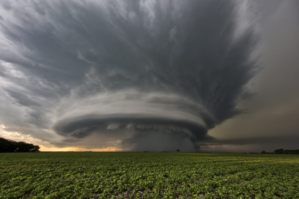
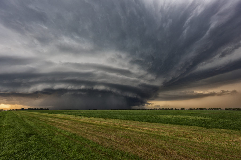
July 17th was a high plains upslope set up. Southeast winds along a boundary would funnel moisture into the Cheyenne ridge. A supercell formed early afternoon near Chugwater, WY and would right turn and track down the boundary into northeast Colorado. This storm was outflow dominant most of its life cycle and was a major hail producer. In Colorado it became tornado warned, although not a big threat in my opinion since it was outflow dominant. We came across some beautiful landscapes to photograph the storm, and everyone had a great time with it. The storm never produced a tornado but it did produce significant hail the size of baseballs along its path. This was to be the last great day for the season as we wrapped up tours and headed home to Denver. Thank you all for a wonderful tour season. We have the best guests and guides on the planet!
July 15th Syracuse, Kansas Tornado
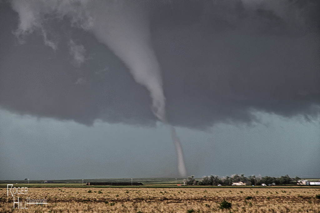
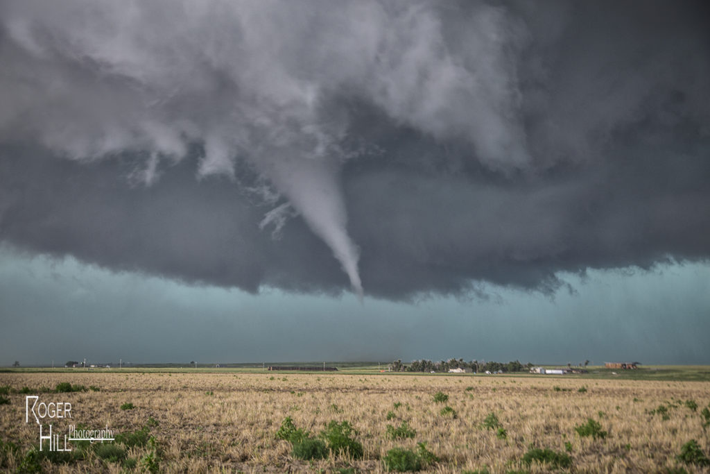
July 15th had big potential. An outflow boundary lay across the Kansas/Colorado border area by early afternoon. A cold front intersected that boundary near Cheyenne Wells, CO. Deep moisture, strong shear and high instability formed along and east of the boundary. By 2pm a severe storm formed and quickly became supercellular. It tracked due south right along the outflow boundary. We encountered huge hail the size of baseballs to softballs near Arapahoe, Colorado. Fortunately we did not lose any windows. We dropped south and had to stay on the western side of the storm where very hot and dry air was being entrained in the supercell creating a violent downdraft with intense blowing dirt and 90 mph winds. Finally at Granada, CO we were able to go east and get into the better moisture. As our storm gusted out, another storm formed on the boundary and ingested 84/70 air! A lowering quickly formed and within 20 minutes started rotating. A truncated cone funnel formed and dissipated 5 minutes later. We were right in the path of the mesocyclone. We moved a mile east and stopped. Rotation dramatically increased and soon a tapered white funnel formed. Another one formed and wrapped around the larger one. The larger funnel touched down and became a stout stovepipe tornado. It widened into a large cone. I couldn’t believe my eyes! Was this May or July? This was the largest July tornado I had ever witnessed in Kansas. The tornado moved south with a large debris cloud and after 19 minutes, roped out. It was quite the sight to see! An absolutely amazing day for the Great North Tornado Hunt tour again!
July 13th Peckham, Oklahoma Gorgeous Supercell
July 13th was the second great day for the Great North Tornado Hunt tour. We started the day in Wichita. Extreme heat and instability would form that afternoon with temperatures near 100F and dewpoints in the upper 70s. Cells tried to form for a couple hours along a dryline/outflow boundary composite, and finally by around 5pm a significant supercell formed just west of Arkansas City, KS. This storm quickly became severe for large hail to tennisball size. As it continued to intensify, it moved due south towards northern Oklahoma near Peckham. This storm was a striated beast. It had continuous lightning, huge hail to baseball sized, and a wall cloud that spun like crazy. By mid evening, the storm weakened as it merged with other cells to its west, and eventually lined out moving into central Oklahoma. One of my favorite nontornadic chases of 2016!
July 10th Eastern Montana Tornado Warned Supercell
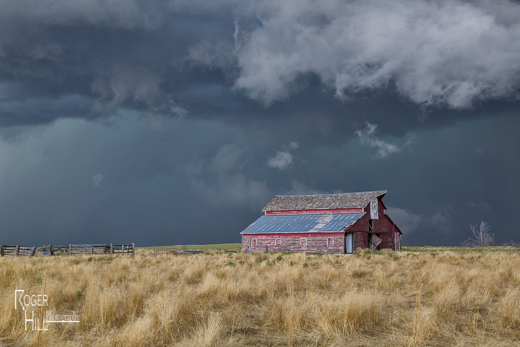
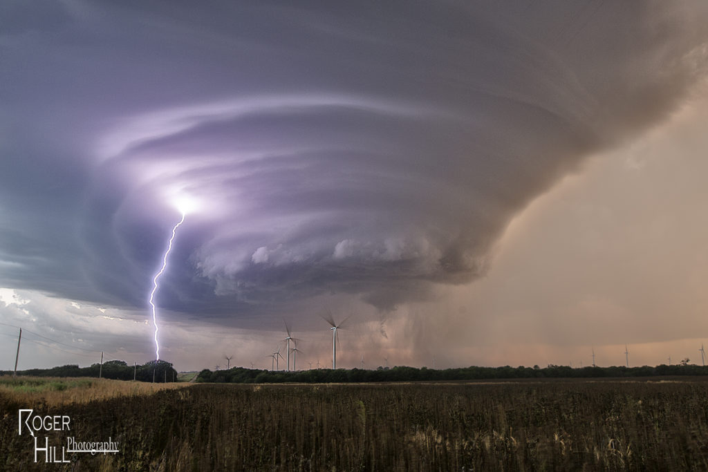
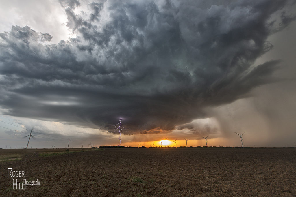
July 10th was day one for the Great North Tornado Hunt. A strong area of low pressure over southern Montana and an associated warm front extending east of there would provide the lift to produce numerous storms, including a few supercells. We intercepted the only tornado warned supercell in the country near Baker, Montana and followed it eastward along the boundary as it spun wildly. A few of times it appeared to produce a couple of funnels and even a brief dirt swirl under one, but the story with this beast was the pretty structure and amazing green colors. This supercell produced very large baseball sized hail and had long inflow bands eastward from the updraft. The open prairieland of eastern Montana always gives a great foreground for one of nature’s most violent storms, the supercell. A fun way to start off the final tour of the year!
July 19th Western Kansas Severe Storm
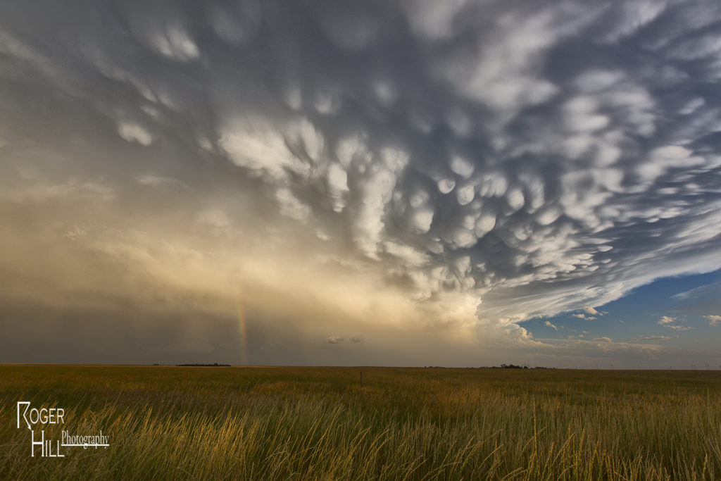
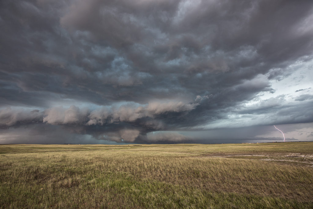
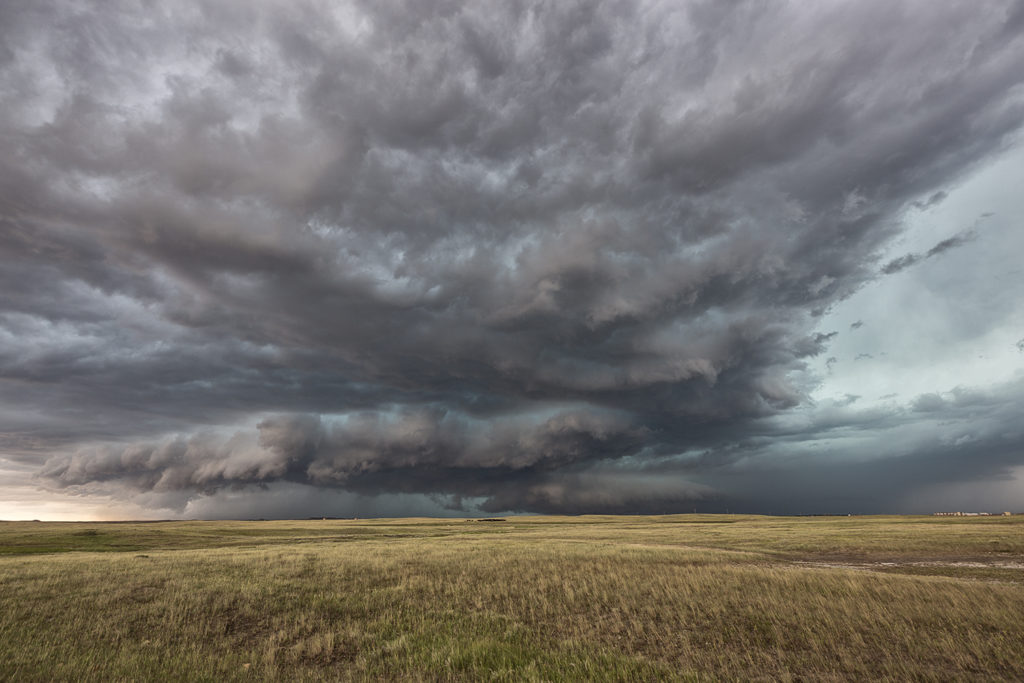
July 19th took us to southeast Colorado and southwestern Kansas. Although the set up wasn’t stellar by any means, there was enough shear, instability and moisture to support severe storms, including supercells. Mid afternoon south of Seibert, CO a supercell formed and tracked southeast. It eventually merged into a line of storms with embedded supercell structures as they marched all the way to Garden City, Kansas. Near the town of Tribune, Kansas on cell in the line spun pretty strongly and produced 80 mph winds, baseball hail and even a funnel cloud. This was a nice way to wrap up the Great North Tornado Hunt tour as the guests got to see a little bit of everything on this tour!
July 18th Nebraska Supercell and Funnel
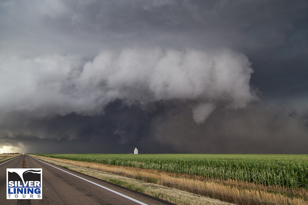
July 18th took our Great North Tornado Hunt towards the North Platte area. Modest shear, great convergence, good instability and moisture would result in numerous storm developing. We targeted a cell northwest of Hershey that ended up anchoring itself there for a couple hours as it intensified. The structure on the storm was quite nice, and as it moved towards Hershey, a long slender funnel formed near the clear slot of the supercell. We stayed with the storm until it decayed near dusk. Overall a great chase day and results for the tour. Something about Nebraska in July produces very pretty storms often!
July 17th South Dakota Tornadic Supercells
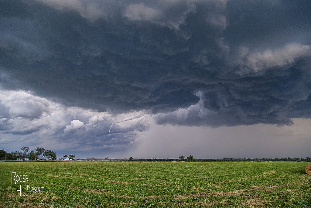
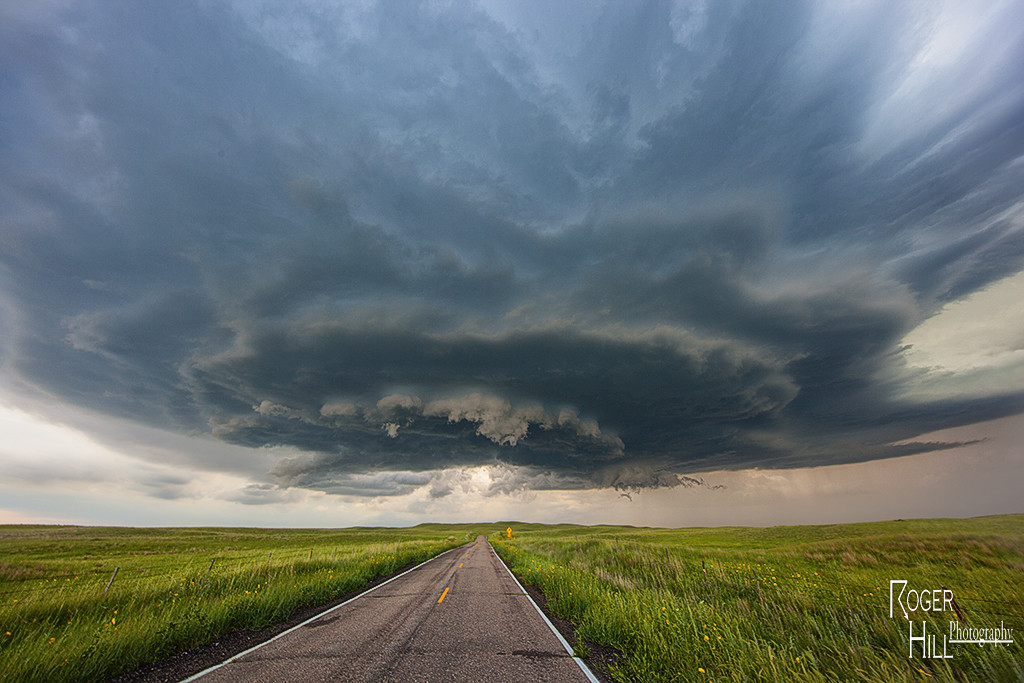
July 17th had incredible potential across the Dakotas. Our Great North Tornado Hunt tour was in place in far northeastern South Dakota awaiting initiation. A subtle short wave trough was moving across the region at peak heating, while 5000 CAPE values developed along with upper 70 dew point readings. An approaching cold front/dryline triple point would spark the first supercells, and then later the cold front would spark several more. We witnessed on such storm develop near Britton, SD which had incredible structure, huge hail to baseball size and a couple funnel clouds. Later another supercell formed near Eden, SD and dropped a tornado southeast of town. We stayed with the storms into western Minnesota where they weakened as they moved out of the strong instability. We finally dropped south towards Watertown, SD for the night as a really pretty shelf cloud approached town. A great day for the Great North tour, and it would be the first of several excellent set ups we had on this tour!