Tag Archives | 2026

June 17th Illinois Tornadic Supercells

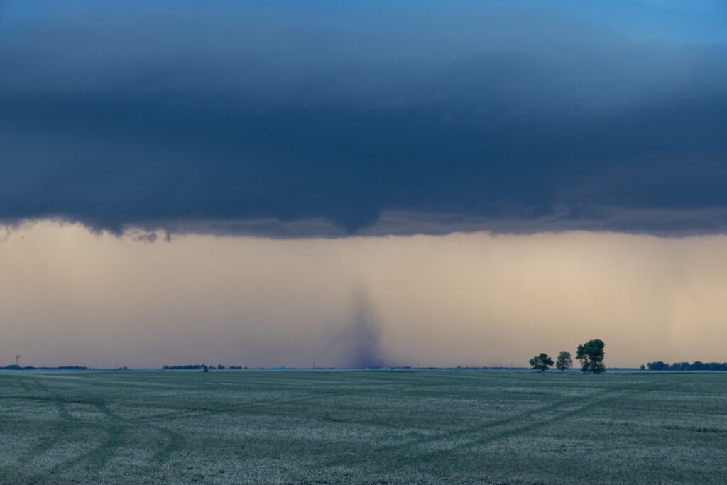
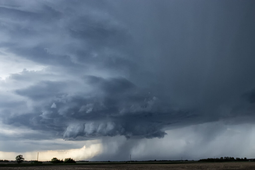
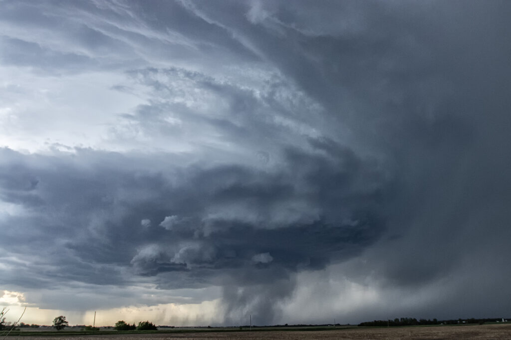
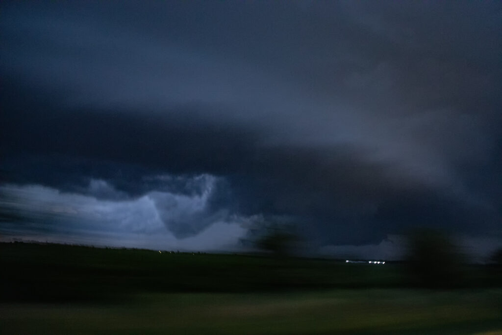
This day had big potential, but one huge problem. Unusually strong mid level winds would cause storms to move near 60 mph, more resembling March than June. Dual outflow boundaries would also wreak havoc on which one to chase, but it became clear the southern one would produce. Tornado warned storms on the northern boundary, would eventually move right and interact with the south boundary and that’s when they became tornadic. With highway alignment and speed limits not being our friend, it was extremely difficult to stay up with any storm. We intercepted 5 different storms that were tornado warned and a couple produced. We started the day near Springfield, IL and ended west of Effingham, IL, chasing like crazy. Fun day, so many close opportunities, so little rewards unless you were able to be in the right place at the right time.

 

June 11, 2026 Western Illinois Tornadoes

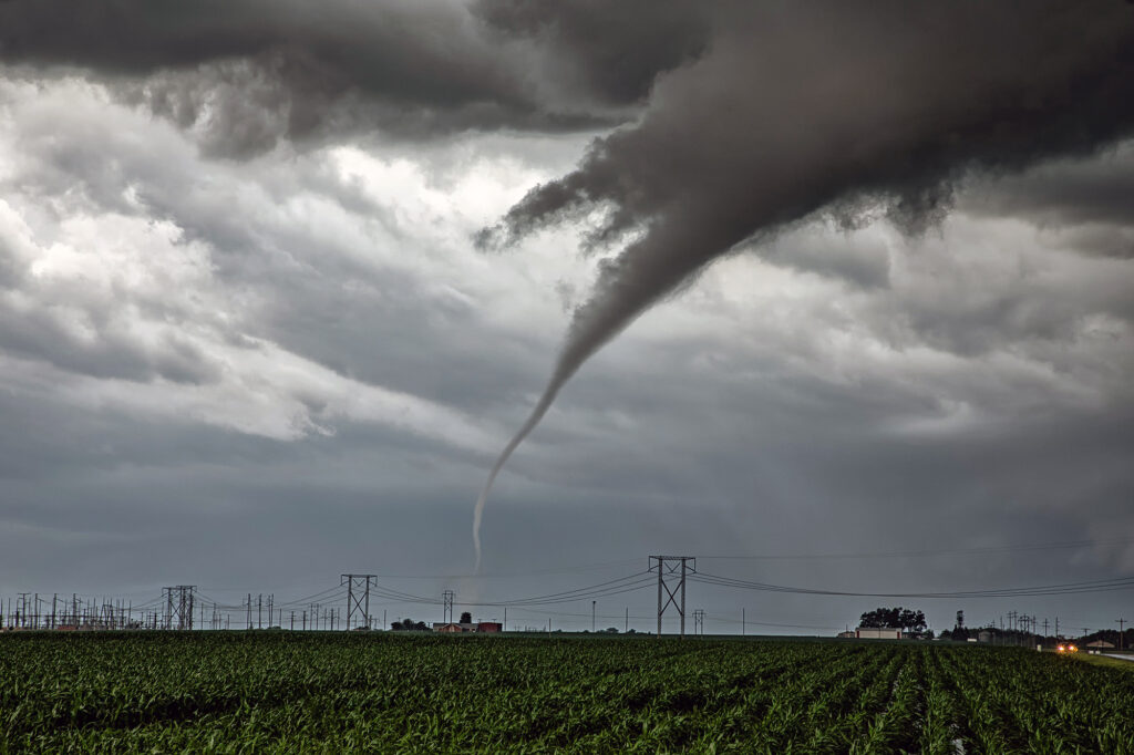
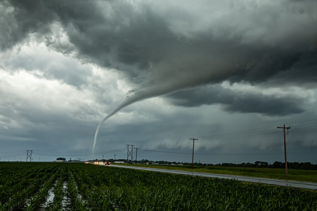
June 11, 2026 was a big day forecast in Illinois and it certainly lived up to its billing! Monster CAPE, shear and moisture were in place. By mid afternoon, an outflow boundary was the spot where initiation occurred. It didn’t take long for a supercell to form west of McComb and become tornado warned. As the storm moved closer to town, it produced a tapered elephant trunk tornado that was on the ground for a couple minutes before being interfered with by a supercell to its south. We left the first storm and headed south to catch the next supercell. As we cleared the core of the first storm, a big mothership shaped supercell came into view. It started getting a clear slot, then a bowl, then a funnel formed. It touched down in the town of Ipava causing some damage. It was a pretty tapered elephant trunk that was on the ground several minutes. The rope out stage was quite pretty with a snaking white funnel against a dark background making it quite the sight! After it dissipated, the supercell was absorbed in the line, which effectively ended our day. Amazing day, but our heart and prayers go out to those who suffered losses in Illinois and Indiana.

June 8, 2026 Simla, Colorado Tornado Warned Supercell

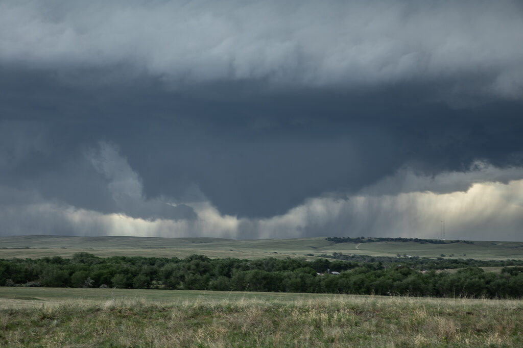
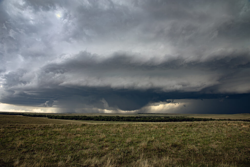
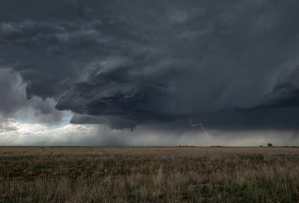
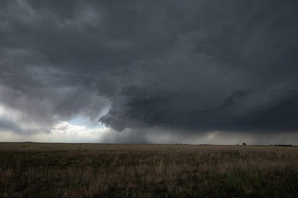
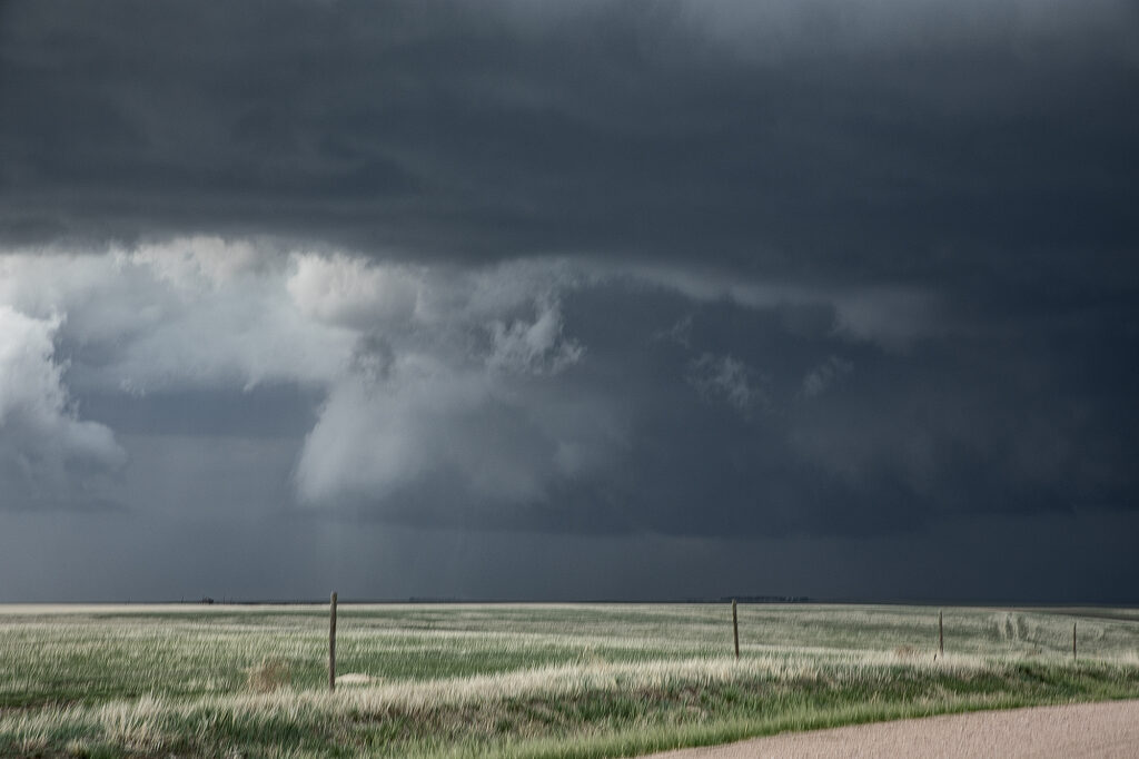
Upslope flow on the north side of an outflow boundary into the Palmer Divide set the stage for an intense supercell to form. It was tornado warned several times and came as close as it possibly could to producing a tornado without doing it! The structure was amazing, and as it anchored west of Simla, it spun hard. A massive bowl formed with a merry go round under it spinning wildly! However, this is a year where there seems to be a lot of close calls without storms actually producing a tornado! Someone called in a multivortex tornado, which is absolutely false. There was never a touch down and we were very close to the action the entire time. As it moved east of Limon, CO, the structure was just gorgeous. When it approached the Kansas border it became outflow dominant and steadily weakened. It has been a long time since I saw a storm’s low level mesocyclone spin that hard and NOT produce a tornado!

June 7, 2026 Dickinson, North Dakota Tornado Warned Supercell and Derecho

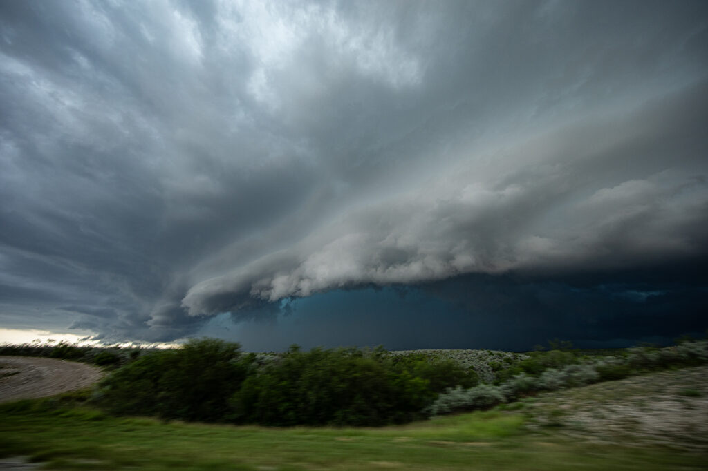
June 7th took us to North Dakota to chase a dryline/outflow boundary. Several storms formed and started spinning. Eventually they congealed into a large bowing MCS with hurricane force winds and cool shelf cloud structure. We encountered down power lines, trees and demolished structures. Even our hotel in Dickinson was without power forcing us to move to a part of town that actually had power. A crazy day, and the winds we encountered with the shelf cloud structure was quite cool. Many reports of winds over 90 mph!

June 3, 2026 Plankinton, South Dakota Tornado Warned Supercell

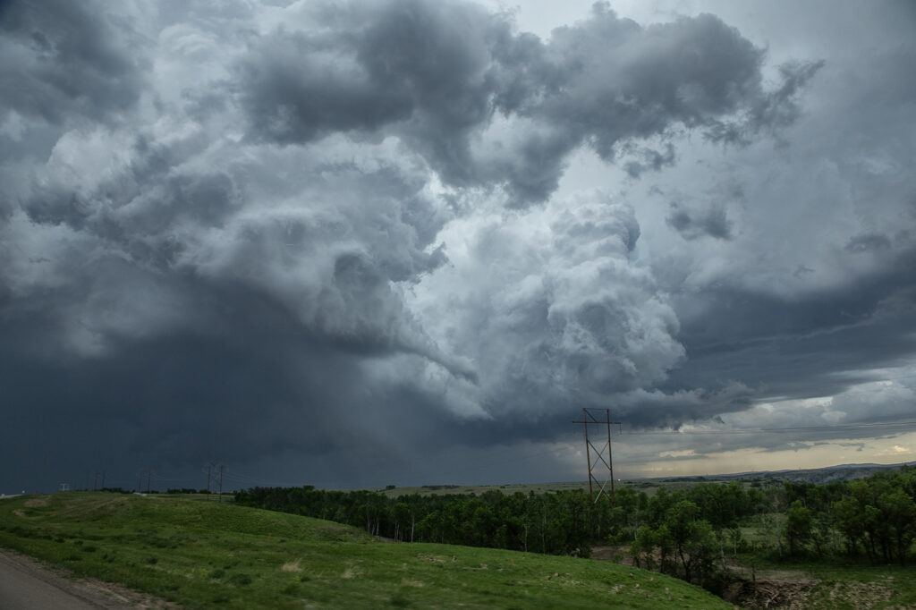
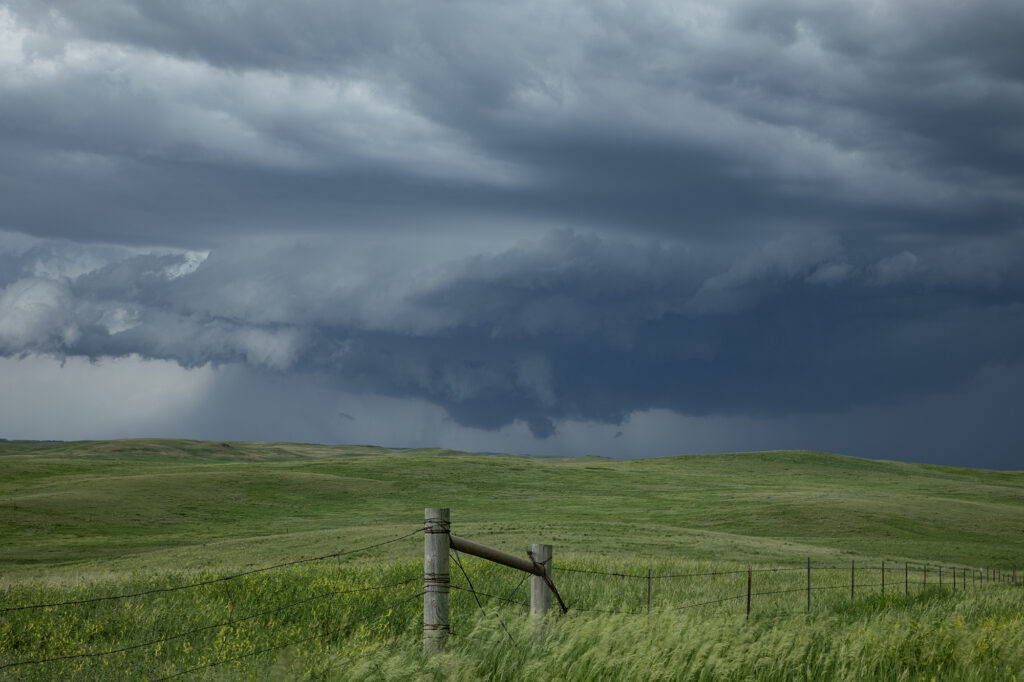
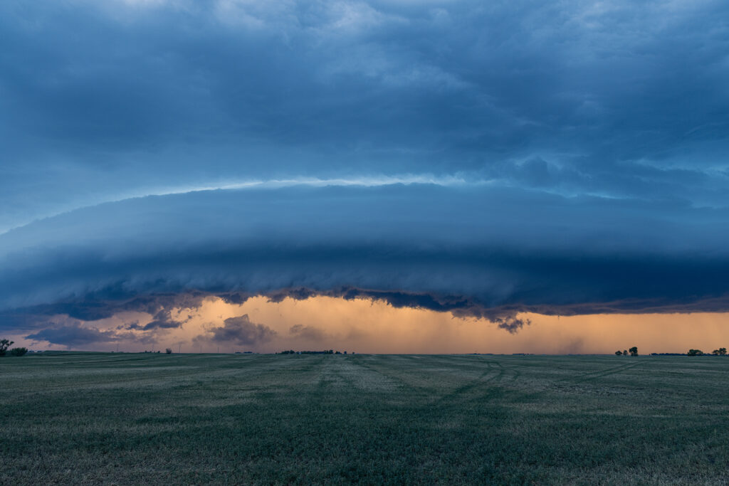
June 3rd didn’t quite live up to it’s potential. A tornado watch was issued mid afternoon and a few supercells formed. They just didn’t have the look. Lower level winds we not optimal, but still sufficient to get them to spin. We caught one storm near Miller, SD and stayed with it a couple hours as it was tornado warned. It eventually moved into a hostile environment and we let it go. Blasting back towards the I-90 area near Plankinton at sunset we encountered a gorgeous shelf cloud with a couple embedded supercell structures. It was just a gorgeous sight!! The line produced winds over 80 mph and hail golfball sized. A nice way to end the day!

June 1, 2026 Last Chance, CO Tornado Warned Supercell

June 1st took us just east of our house in Colorado. A supercell formed near Denver and slowed moved, developed east and eventually became tornado warned near Bennett. Hail to baseball size occurred. A couple other supercells formed further east along a boundary just north of Last Chance and also became tornado warned. Due to the high based nature of the storms, there wasn’t a great threat of a tornado occurring. However, the structure was pretty and the lightning quite nice. They also produced hail to tennisball size and the moved east towards Akron, CO. Fun day, pretty storms!!!

May 31, 2026 Madison, Kansas Tornadic Supercell

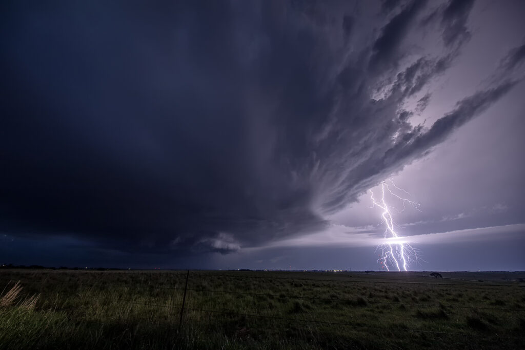
Didn’t think much would happen in the daylight on May 31st. A strong capping inversion in place, as well as a mistimed upper wave seemed to lead to elevated late evening storms. Once in awhile though, nature loves to throw a wrench into things. By early evening initiation occurred along a boundary near Emporia, Kansas. An outflow boundary/dryline intersection would spawn a gorgeous supercell that rapidly intensified and even became briefly tornadic. As the storm slowly drifted east towards Madison, KS, the structure and electrification became quite pretty. Somewhere in the night skies a long snaking funnel came down that a couple of chasers said touched down. We stayed with it for awhile, but had to leave to get to our hotel in Salina, as we needed to be in Colorado the next day. A beautiful supercell, great structure and superb lightning!

May 26, 2026 Del Rio, Texas Tornadic Supercell

A very interesting day on May 26th. As often occurs, storms formed on the north side of the Del Burro mountains in northern Mexico. As they became supercells they right turned and never came across into the US. However, another supercell formed on the northeast side of the supercell cluster in Mexico. This storm quickly developed a strong velocity couplet and dropped a substantial tornado not far from Acuna, Mexico. As it finally approached the border, it became outflow dominant and still produced significant winds. It’s such a shame that we had to wait in the US side for this tornadic supercell to approach. It’s just too difficult to try and chase in Mexico. The tornado pic here was from a local resident of Acuna. What an amazing shot!

May 24, 2026 Tabor, South Dakota Supercell

A long drive was in store for the Prime Time Minitour for day 1! Supercells were forecast to develop over southeast South Dakota. Tornado threat wasn’t much, but it was sure to be a structure day. It did not disappoint! The group left at the crack of dawn for the 650 mile drive up to South Dakota. They were able to see the entire development of the best storm of the day near Tabor. Structure got better as the storm matured, drifting slowly southeast. After a few hours of viewing, it was time to call it a day and get ready for another chase. Just a beautiful higher based supercell! Worthy of the trip!

May 21, 2026 Anton, Colorado Tornadic Supercell

May 21st took us to Colorado. Between upslope into the Palmer Divide, as well as an outflow boundary, most models had storms forming near Limon, before intensifying and moving east. That is pretty much what happened. A supercell formed near Deer Trail and moved east, gaining strength and becoming tornado warned. Good shear, but relatively cool surface temps kept this from being a major event, but the storm still produced softball sized hail, several funnel clouds and one brief tornado south of Anton. As it continued to move east, it encountered cold air with temps in the 50s and became an elevated hailer. Eventually near Burlington it weakened as instability waned and nocturnal cooling set up. A fun time was had by all the guests as the structure was quite nice and the funnels fairly close with the road network being sparse. Enjoy the pics!!