
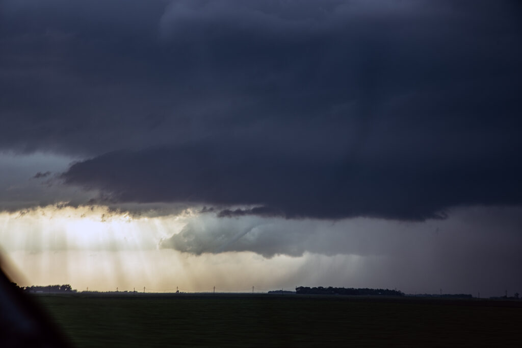
June 29, 2026 Fargo, North Dakota Tornadic Supercell
June 29th kept us in far eastern North Dakota as a warm front lifted north from South Dakota. The cap was strong and it took until 7pm to get a good storm to fire along it. We had chased a tornado warned supercell towards Bismarck earlier in the day, but it moved along a front and weakened. Thus we blasted to the warm front and caught a tornado warned storm southewest of Fargo. As it approached Fargo, it was obviously spinning hard, and a long, snaky funnel formed over I-29. As the dissipated, another updraft developed on the east side, just east of Fargo and had substantial cone shaped funnel. Multiple reports that it briefly touched down came in, and I certainly can’t argue with that. Due to multiple storm mergers though, the supercell just never could take off and take advantage of the great shear along the warm front. We ended up blowing it off and heading to our hotel as it weakened.

No comments yet.