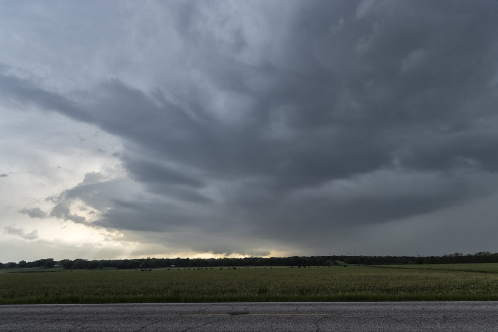
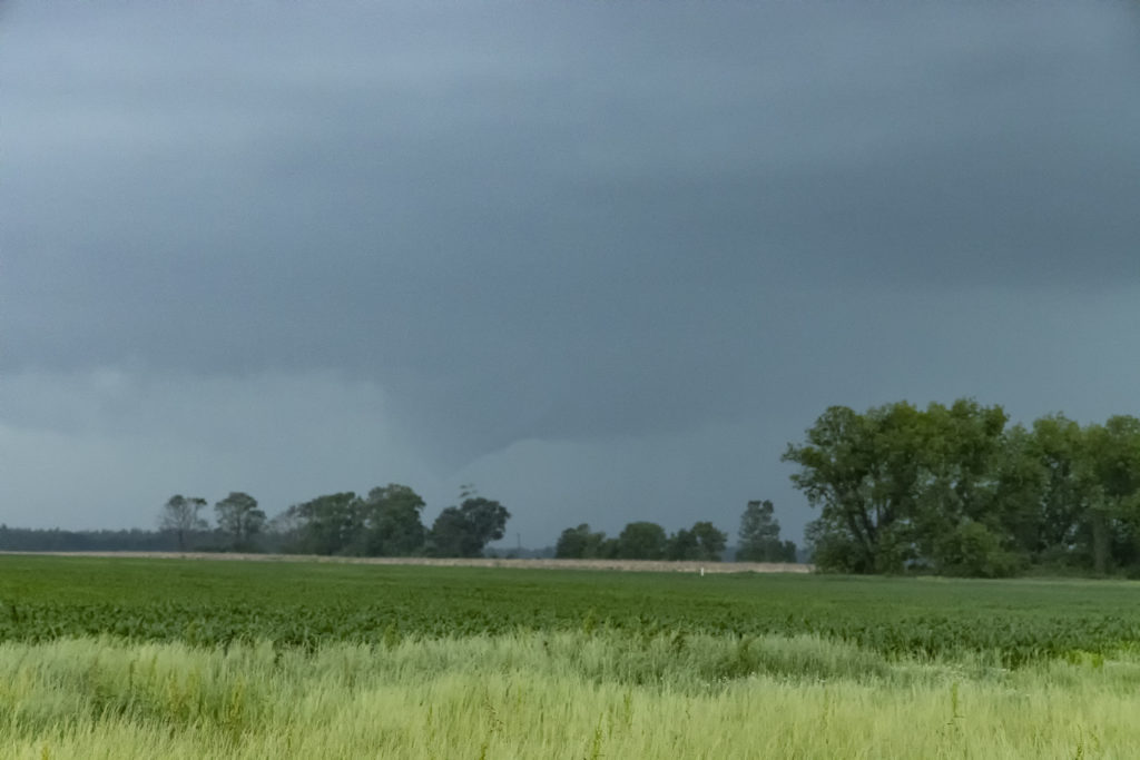
May 4th Jackson, MS Area Tornadic Supercells
May 4th took us deep into the southeastern US. Very strong shear, 70 dewpoints, 2500 CAPE and an advancing cold front would set the stage for intense storm development. We chased a cluster of supercells over west central Mississippi and merged into a raging bow echo as it ripped through the Jackson, MS area. Extreme lightning, high winds and a couple of tornadoes occurred as storm approached Jackson. Sometimes it is hard to see in the southeast due to trees, hills and hazy conditions due to close proximity to the gulf. We managed to find farmland and breaks in the tree cover to watch these intense storms roll through. Enjoy the pics!


No comments yet.