Tag Archives | squall line

May 24th San Angelo, Texas Supercell

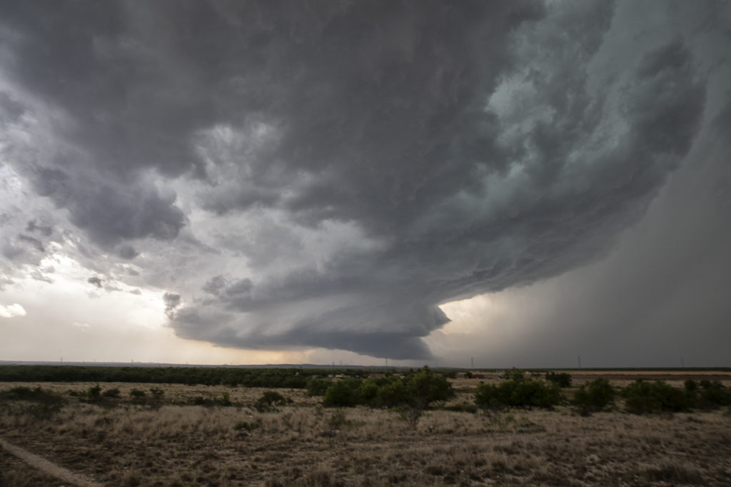
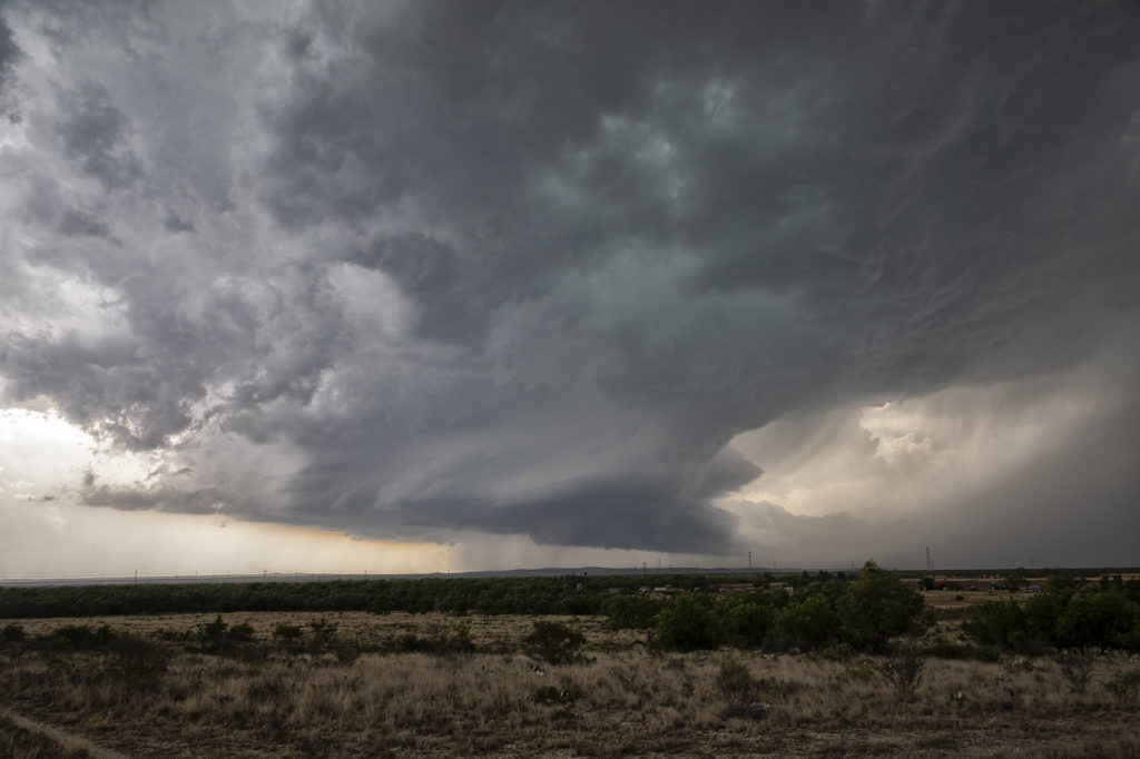
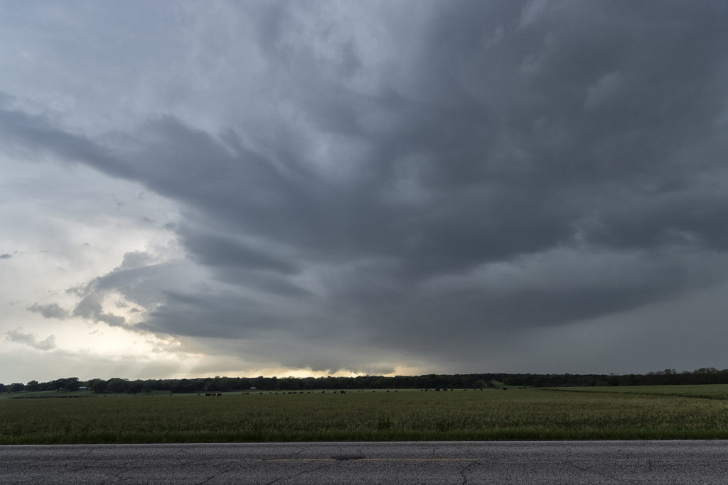
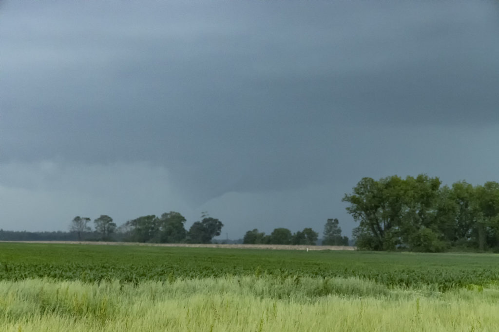
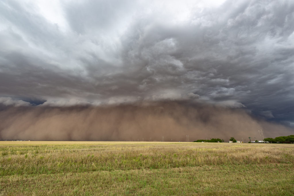
We weren’t expecting big things this day. An advancing cold front was pushing south across the area near San Angelo and the fear was it would undercut storms that would develop. As we arrived, one storm rode the boundary for a couple hours before being undercut and became for formidable supercell. It dropped hail the size of softballs and had some really pretty structure. However, as feared, the cold front continued to push south and undercut the storm. From then on it was a battle to stay ahead of anything that wouldn’t be undercut as the front continued its steady push southward. A quick end to the day, but still a fun day w

ith a great supercell!

May 4th Jackson, MS Area Tornadic Supercells

May 4th took us deep into the southeastern US. Very strong shear, 70 dewpoints, 2500 CAPE and an advancing cold front would set the stage for intense storm development. We chased a cluster of supercells over west central Mississippi and merged into a raging bow echo as it ripped through the Jackson, MS area. Extreme lightning, high winds and a couple of tornadoes occurred as storm approached Jackson. Sometimes it is hard to see in the southeast due to trees, hills and hazy conditions due to close proximity to the gulf. We managed to find farmland and breaks in the tree cover to watch these intense storms roll through. Enjoy the pics!

June 5th West Texas Haboob

A crazy day ensued as a cluster of high based storms formed in New Mexico and tracked east into west Texas. As the storms approached the Lubbock area a very well formed haboob occurred, with a wall of dust/dirt scouring the landscapes. Haboobs can be very photogenic and this one was one of the best I’ve ever witnessed in 35 years of chasing in the Texas panhandle! High winds, large hail and that wall of dirt occurred within this line of cells as they raced across Texas.  An exciting day on a day when we weren’t expecting anything significant!  Enjoy the cool pics!