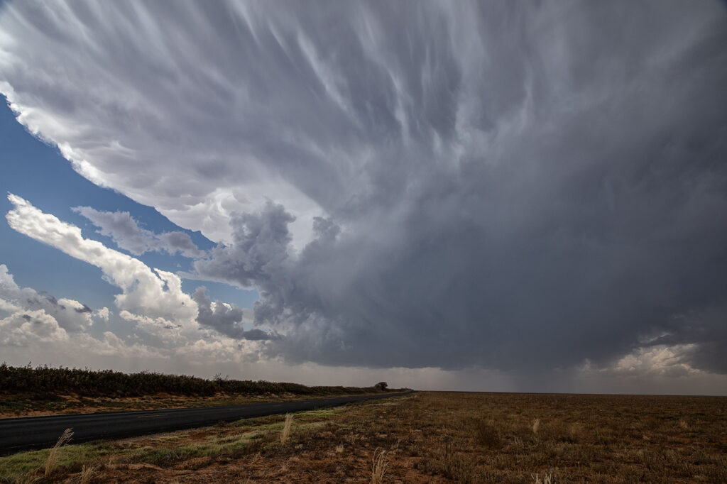
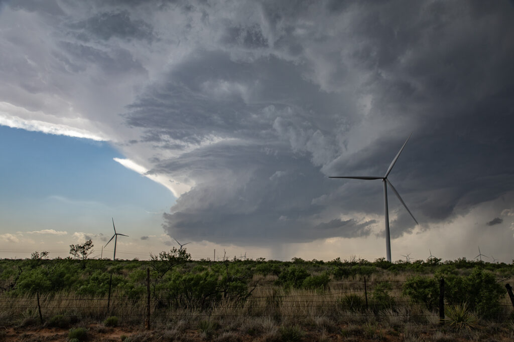
May 30th West Texas Supercells
May 30th brought an interesting chase. A sharp dryline and an outflow boundary would intersect over west Texas and provide the focal point for severe weather. Storms formed at the triple point but could not sustain themselves for very long as they moved out into more stable air. We ended up dropping south from Morton, Texas to Denver City, Texas as one storm formed, hooked hard and tried to produce. In the end the only storm that produced was near Midland, Texas as it dropped two substantial tornadoes. Our storms looked good, but due to a bit higher cloud bases, they could not get a circulation down to the ground. Overall a fun day but a bit frustrating as we were so close but not close enough with our storms.


No comments yet.