
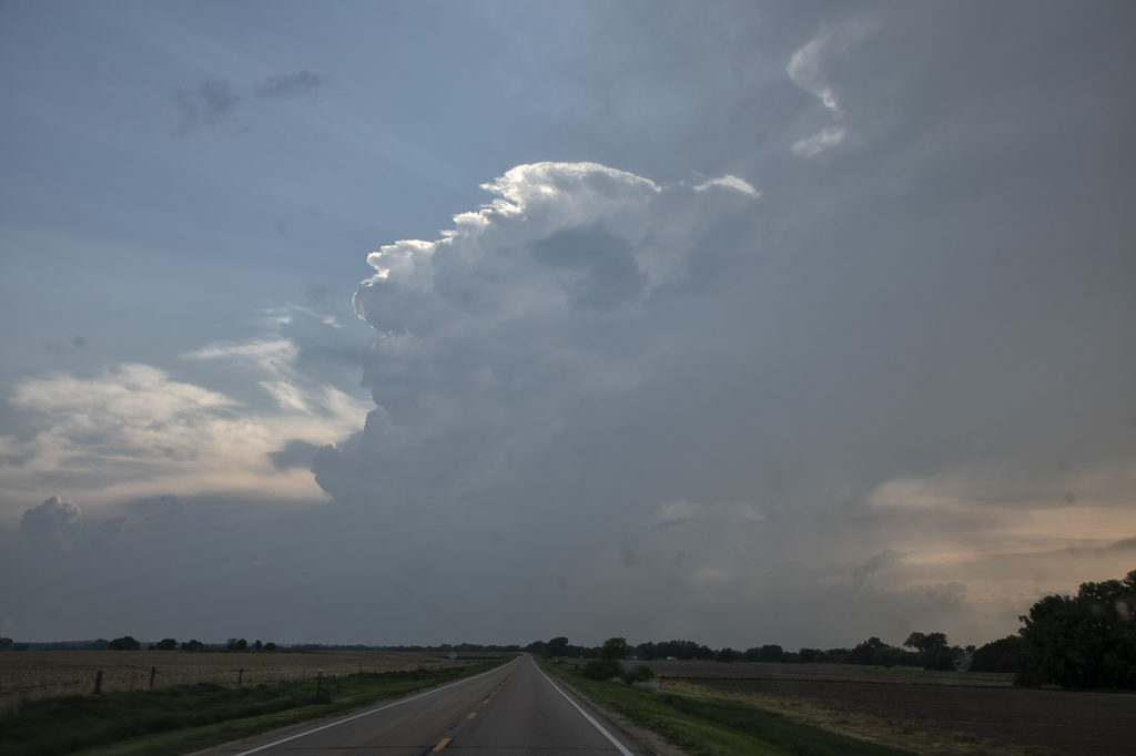
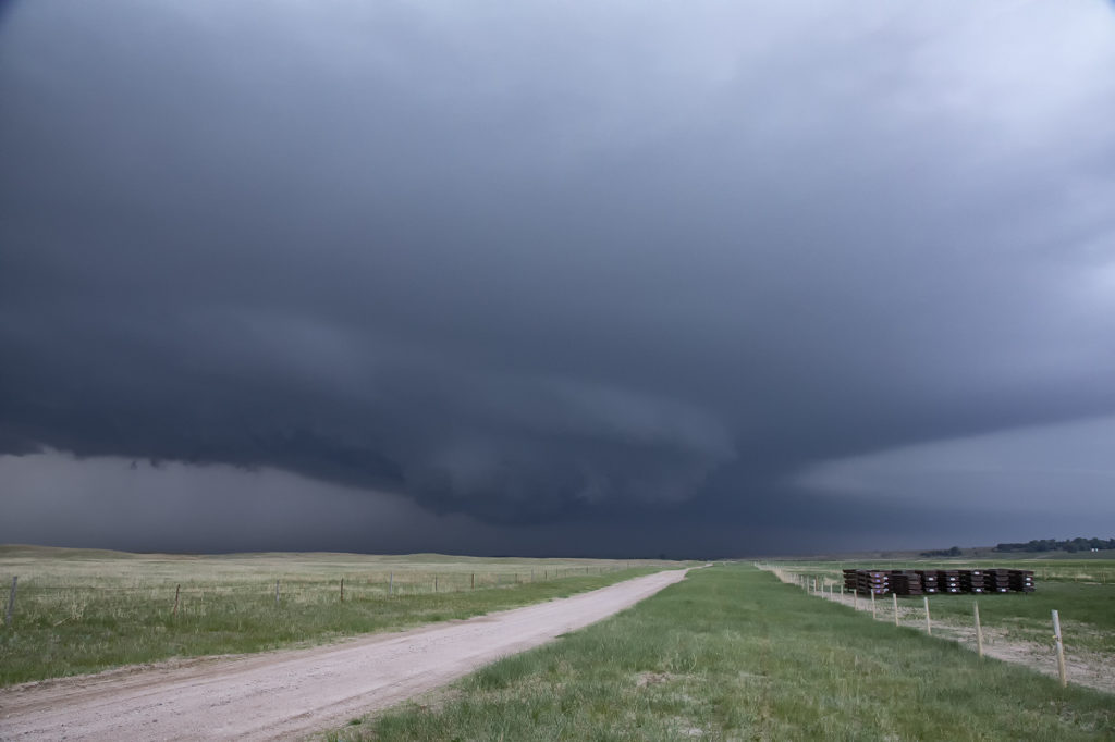
May 29th Central Nebraska Tornado Warned Supercell
May 29th was the classic “day before the big day” type set up. Moisture and instability were rapidly increasing along a lifting warm front in Nebraska, and shear was quite strong. Models showed late afternoon and early evening supercells forming north of Broken Bow and that is exactly what occurred. It took awhile from the main supercell to root along the boundary and get organized, but once it did, it became a formidable storm! Eventually it became tornado warned as it moved to the northeast and stayed warned for a few hours. Due to storm motion and poor roads, it became virtually impossible to stay with it. Near O’Neill we had to let it go and head to Sioux Falls, SD for the night. The storm had good structure, and it had a well defined rotating wall cloud. It just couldn’t tighten enough to get a tornado to form. Enjoy the pics!
No comments yet.